Conquer the Virtual Scottish North Coast Loop: A 500-Mile Highland Circuit
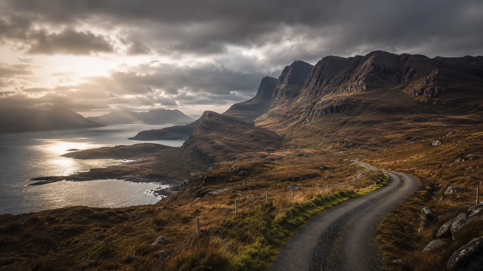
Loop the wild northern coast of Scotland, virtually. The Scottish North Coast Loop is an 811 km (roughly 504 mile) circuit out of Inverness, around the far north Highlands and back down the east coast, inspired by the famous North Coast 500 road trip. Route Rally turns every synced ride, run or walk into progress around the loop, so you can take on one of Scotland's great journeys from wherever you train and finish back where you started.
Part of the Great British Routes series
- Route: Scottish North Coast Loop
- Distance: 811.1 km
- Elevation gain: 9300 m
- Epic Highland loop with strong completion appeal
- Best for: Cyclists and runners wanting a longer route, and multi-month rallies of your own
Planning your challenge
A cyclist averaging 150 km/week finishes in five to six weeks; runners at 40 km/week treat it as a longer project of several months.
This is a Long route by Route Rally distance bands, so it suits riders and runners who want a substantial, scenic loop with a satisfying return to the start.
Works well when you want a famous Highland route with strong completion psychology, returning to Inverness where you began.
Create your own rally for your own Highland loop target, solo or with a group sharing one leaderboard.
Why this route
- The Scottish North Coast Loop is a circuit of the far north Highlands from Inverness, inspired by the famous North Coast 500 (NC500) road trip.
- The Route Rally route runs about 811 km (504 miles) out along the rugged west coast, across the wild north and back down the east coast to Inverness.
- Because it is a loop, it carries strong completion psychology: you finish exactly where you started, having circled one of Britain's emptiest and most beautiful corners.
- As a virtual challenge you cover the distance in your own time, so local rides and runs all count towards closing the loop.
- The scale and the well-known NC500 association make it a strong cyclist-retention route and a memorable shared goal for clubs and teams.
Highlights
- Start and finish in Inverness, the capital of the Highlands
- Head north up the east coast past Dornoch Cathedral, Dunrobin Castle and the Whaligoe Steps
- Round the far north by Duncansby Head, Thurso and Smoo Cave
- Come down the west coast through Kylesku, Ullapool and Corrieshalloch Gorge, then Inverewe and Beinn Eighe
- Cross Torridon, Applecross and Strathpeffer to close the loop back at Inverness
Places along the route
Every place below is measured onto the route line, so the distance shown is where you actually reach it.
Places are researched from published sources. The distances are measured rather than estimated: we find the point on the route's own recorded line that lies nearest the place, and give the distance along the route to that point.
Inverness, the Black Isle and Easter Ross
0–40 km · 3 places

0 km (0 miles) · landmark
Castle Hill, Inverness
Five hundred miles, starting here
Andrew Davidson cast her in 1896: Flora MacDonald with one hand raised against the light, looking away west, and a collie at her feet watching her face rather than the view.
- The statue is by Andrew Davidson and dated 1896, on a granite pedestal.
- The listing describes the collie at her feet as looking anxiously at her face.
- The route is a closed loop: this spot is both metre zero and the finish line.
1 km (0 miles) · heritage
The Old High Church
A tower older than the church under it
The tower is late sixteenth century and the church beneath it is not: that was rebuilt between 1769 and 1772 to a plan bought in from an excise officer in Edinburgh, who simply scaled up a design already standing at Buccleuch Church. Which is a very Georgian way to build a kirk. The mound it sits on is the oldest religious ground in the city.
40 km (25 miles) · heritage
The Broomhill Trenches
The Western Front, dug in Ross-shire
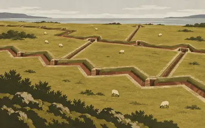
In a field above the Cromarty Firth there is a zigzag cut into the turf: front line, support line, reserve line, two communication trenches running back, about a hundred metres across.
- Twelve First World War training-trench sites are known across Scotland; Broomhill is one.
- The complex runs about 105 m north to south by 120 m east to west.
- A second complex at Rhicullen, 2.8 km away, includes a dedicated grenade-training trench.
The Dornoch Firth and east Sutherland
55–109 km · 9 places
55 km (34 miles) · heritage
St Duthus, Tain
Three churches, one saint
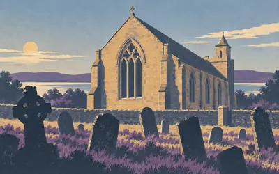
Tain has three surviving medieval churches and all three are dedicated to the same man.
- Three medieval churches survive in Tain and every one is dedicated to St Duthus.
- In 1306 Robert I's wife, daughter and sisters sought sanctuary here and were captured anyway.
- The collegiate church was restored by Robert Matheson from 1849 and again by Hippolyte Blanc in 1896.
55 km (34 miles) · heritage
Tain Tolbooth
A bell cast in Middelburg
The old tolbooth collapsed in 1703 and was rebuilt over the next thirty years, keeping a stone from the 1631 building that names the provost who raised it. The bell in the turret was cast by a Flemish founder in Middelburg. Inside the courthouse a bronze plaque to the Seaforth Highlanders counts 8,432 dead across ten battalions in the First World War.
63 km (39 miles) · heritage
Skibo Castle
What a Dunfermline weaver's son bought
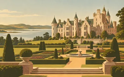
Andrew Carnegie was born in a weaver's cottage in Dunfermline, went to Pittsburgh, built a steel business, sold it, and then spent the rest of his life giving the proceeds away.
- The estate belonged to the Diocese of Caithness until 1565.
- Andrew Carnegie bought it around 1898; his family sold it in 1982.
- The gardens and terraces were laid out by Thomas Mawson in 1904.
66 km (41 miles) · heritage
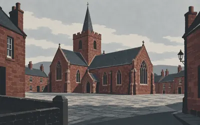
Dornoch Cathedral
Founded 1224, burnt 1570, rebuilt twice
Gilbert Murray founded it in 1224 and it has been knocked about ever since: burnt in 1570, patched in 1616 by Sir Robert Gordon, and completely reconstructed between 1835 and 1837 at the expense of the Dowager Duchess of Sutherland.
- Founded in 1224 by St Gilbert Murray, and burnt in 1570.
- The nave was rebuilt in 1835-37, paid for by the Dowager Duchess of Sutherland.
- A statue of the first Duke of Sutherland stood inside until it was moved to Dunrobin in 1980.
76 km (47 miles) · engineering
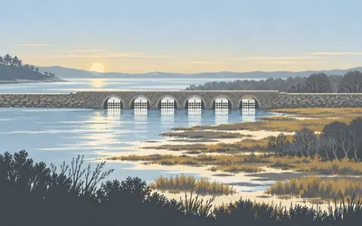
The Mound
A thousand yards of Telford across an estuary
Telford threw a bank nearly a kilometre long across the head of Loch Fleet between 1815 and 1818, joined it to the north shore with a bridge, and fitted every arch with flood gates.
- The embankment is a thousand yards long and every arch of the bridge carries flood gates.
- The scheme drained 400 acres that had flooded at every high tide.
- Telford built four arches between 1815 and 1818; Joseph Mitchell added two more in 1837.
81 km (50 miles) · heritage
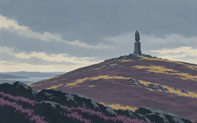
The Ben Bhraggie Monument
Erected by his tenantry and friends
A colossal statue of the Duke on an octagonal plinth and a square ashlar pedestal, on the bare hill above Golspie.
- Historic Environment Scotland's inventory record for the Dunrobin estate dates the agricultural improvements that led to the Highland clearances to about 1807.
- The Duke died in 1833 and subscriptions for the monument began the following year.
- The Highland Council's record gives the model to Sir Francis Chantrey and the full-size carving to Joseph Theakston.
84 km (52 miles) · heritage
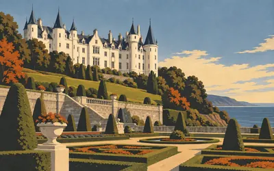
Dunrobin Castle
A French château on the Moray Firth
You come round a bend expecting Scotland and get the Loire: conical roofs, white walls, formal parterres running down to the sea.
- Charles Barry rebuilt it between 1835 and 1850 around a 14th-century square tower.
- The family acquired land in Sutherland before 1211.
- Fire gutted the interior in 1915 while it was in use as a naval hospital; Robert Lorimer redesigned it from 1919.
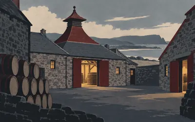
93 km (58 miles) · heritage
Clynelish and Brora
Shut in 1983, lit again in 2021
The Sutherland estate put up a distillery here in 1819 for seven hundred and fifty pounds, partly to give its tenants something to do with their barley other than sell it to smugglers.
- The Sutherland estate founded the distillery in 1819 at a cost of £750.
- It was enlarged in 1896 by Ainslie and Co.
- Brora closed in 1983 and reopened in 2021 after a three-year restoration.
109 km (68 miles) · engineering
Helmsdale Bridge
Telford over the Ullie
Two wide arches on triangular cutwaters, built by Telford between 1808 and 1811 as part of the great push of Parliamentary roads and bridges into the north. The register notes that the river used to be called the Ullie. The bridge was both a scheduled monument and a listed building until the scheduling was removed in 1998.
Caithness: the Ord, the Braes and the herring coast
119–193 km · 10 places
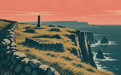
119 km (74 miles) · heritage
Badbea
A village on the wrong side of the fence
Between the road and a long drop into the sea there is a narrow strip of ground nobody would choose to live on, and people lived on it.
- The approach plaque records twelve families cleared from Sutherland settling here.
- A survey counted the ruins of sixteen buildings, several standing to gable height.
- A monument raised in 1911 lists the former inhabitants by name.
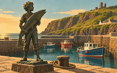
133 km (83 miles) · heritage
Dunbeath Harbour
A boy, a salmon, and the strath behind
The road crosses high above the village and most people never come down.
- Neil M. Gunn was born in Dunbeath on 8 November 1891 and went to school in the building now housing the heritage centre.
- The harbour sculpture was erected on the centenary of his birth, 8 November 1991.
- It depicts Kenn, the nine-year-old boy at the centre of the novel Highland River.
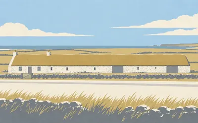
134 km (83 miles) · heritage
Laidhay Croft
One roof, two families
A long low building beside the road, thatched, with the dwelling at one end and the byre at the other and no door between them from outside.
- It is a Caithness long-house: dwelling, barn and byre in one continuous range.
- The Bethune family crofted Laidhay from 1842 to 1968.
- It opened as a croft museum around 1976 and is listed at category A.
143 km (89 miles) · heritage
Lybster Harbour
Four basins for a fish that left
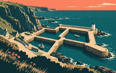
The village sits on the clifftop and the harbour is hidden below it, down a steep lane that gives no warning: four basins of grey flagstone, a squat octagonal lighthouse, and a scatter of stores.
- The harbour was built in 1849 and rebuilt in 1882, with four basins.
- The register says the herring fishery first developed in Caithness.
- By the late nineteenth century the Scottish fishing industry was the largest in Europe.
144 km (89 miles) · heritage
The Lybster Cross Stone
Turned up by a harbour
A boulder about a metre long with an equal-armed cross cut into it inside a double border, early Christian, and one of very few things in Caithness that connect to the centuries between the Picts and the Norse. It may have come from the Well of the Martyrs, which the harbour works disturbed in the 1840s. Nobody can be sure, and the register says so.
150 km (93 miles) · heritage
Hill o' Many Stanes
Two hundred stones and no explanation
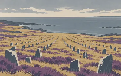
A gentle slope with about two hundred small flagstones set on edge in at least twenty-two rows, fanning out downhill from a rocky knoll.
- The custodian counts about 200 stones in at least 22 rows.
- The legal scheduling record gives no count of stones or rows at all.
- Settings of stone rows like this are known from only a few places in northern Europe.
154 km (96 miles) · heritage
Whaligoe Steps
Three hundred and thirty, not three hundred and sixty-five
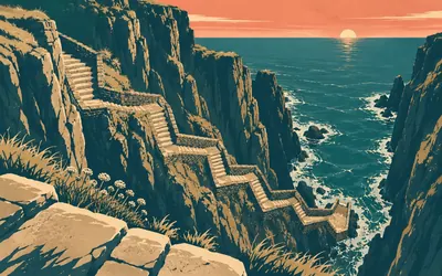
There is no sign worth the name, and then the ground simply opens: a flagstone stair going down the face of a cliff into a natural inlet, with a stone platform at the bottom where boats were hauled clear of the swell.
- The listing counts 330 flagstone steps; the widely repeated figure of 365 has no heritage source.
- Part of the winch used to haul boats out survives on the quay platform.
- Thomas Pennant described people carrying heavy loads up the cliff here in his Tour in Scotland of 1769.
164 km (102 miles) · heritage
The Castle of Old Wick
Obscure and enigmatic, says the custodian
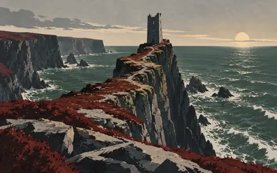
A single roofless tower standing on a finger of rock with the sea chewing at it from three sides and a slot of a gully cutting it off from the land.
- The custodian describes the castle's history as obscure and enigmatic.
- The surviving structure appears to date from the 14th century or later, not the 1100s.
- The scheduled monument record carries no dating information of any kind.
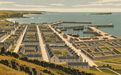
166 km (103 miles) · heritage
Pulteneytown
A town built to catch a fish
Cross the river in Wick and the streets change: straight, gridded, deliberate.
- Pulteneytown was laid out to Thomas Telford's 1809 plan for the British Fisheries Society.
- The register calls Wick the busiest herring port in Britain and northern Europe from 1820 to 1914.
- The heritage centre is the last surviving traditional herring curing house in the town.
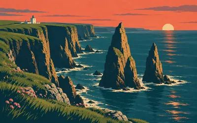
193 km (120 miles) · viewpoint
Duncansby Head
The north-east corner, and the stacks below it
The corner of the country.
- The lighthouse was established in 1924 to a design by David A. Stevenson and automated in 1997.
- Two authorities, the Northern Lighthouse Board and the nature agency, both call this the most north-easterly point of the British mainland.
- The cliffs hold over 5% of the UK guillemot population and over 2% of its fulmars.
The north coast: Canisbay to the Kyle of Tongue
197–303 km · 9 places
197 km (123 miles) · heritage
Canisbay Kirk
A Groat tombstone of 1568
A white harled kirk with a squat tower, medieval at heart and rebuilt many times. Set into the south wall is a tombstone to the Groat family, raised in 1568, which spent some centuries face down in the floor before being lifted and re-cut by a local sculptor. The north aisle used to hold the private gallery of the Sinclairs of Mey.
211 km (131 miles) · heritage
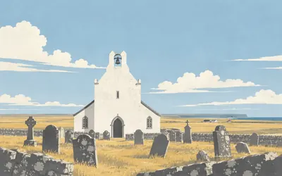
Dunnet Kirk
The man who mapped Scotland lived here
A squat white kirk with a saddleback tower and a stone stair curling up inside it, parts of it possibly pre-Reformation.
- Timothy Pont was minister of Dunnet from 1601 to 1610.
- The register describes him simply as an early Scottish cartographer.
- His map of Strathnaver is cited by Historic Environment Scotland in its record for a broch further west on this route.
226 km (140 miles) · engineering
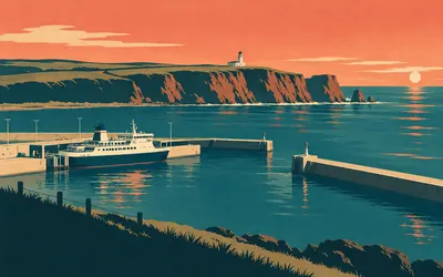
Holborn Head
Where the Orkney boat goes from
Thurso is the town, but Scrabster is the port: a deep-water harbour tucked under Holborn Head, from which NorthLink's ferry runs across the Pentland Firth to Stromness up to three times a day.
- The lighthouse was built in 1862 by David and Thomas Stevenson.
- The listing describes it only as an unusual lighthouse and does not say why.
- Scrabster is the mainland terminal for NorthLink's Pentland Firth ferry to Stromness in Orkney.
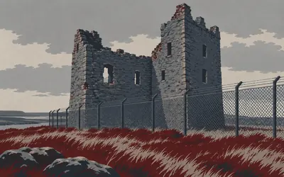
239 km (149 miles) · heritage
Dounreay Castle
Three metres from the fence
There is a castle at Dounreay, and almost nobody looks at it.
- The Sinclairs of Dunbeath acquired the Dounreay lands from the Bishop of Orkney in 1562 and 1564.
- The Earl of Caithness's brother besieged the castle in 1614; it was inhabited until 1863.
- The scheduled area's southern edge runs 3 m from the nuclear site's security fence.
242 km (150 miles) · heritage
The Reay Cross Slab
Somebody carved their name on it
In the old burial ground stands a grey sandstone slab nearly two metres high, late ninth or tenth century, carved with a ringed cross and elaborate knotwork. At some point a Robert McKay had his own name and an eighteenth-century date cut into the top arm of the cross, over the original carving. His inscription has since worn away and cannot be read. The Celtic work under it can.
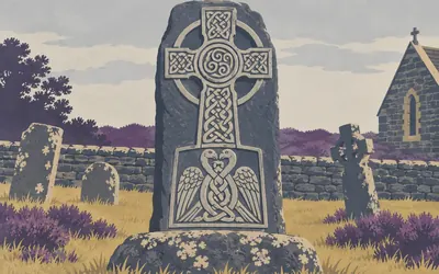
272 km (169 miles) · heritage
The Farr Stone
Two birds with their necks entwined
It stands in the churchyard at Farr and it is worth going in for: a slab of blue schist two and a quarter metres high, carved in relief on one face and left completely blank on the other.
- The slab is 2.29 m high, 0.62 m wide and 0.23 m thick, in blue schistose slate.
- Its carving includes a triple-spiral boss, key patterns, interlace and two birds with entwined necks.
- The western face was never carved, and the base of the slab is still below ground.
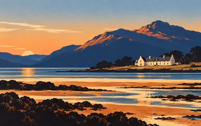
292 km (182 miles) · heritage
Tongue House
Two dates on one stone
A crowstepped laird's house at the head of the Kyle of Tongue, low and wide and turned to face the water, with formal gardens behind a wall and Ben Loyal standing over the whole arrangement.
- One skewputt carries two dates, 1678 on its face and 1750 on its lip.
- The house is said to have been rebuilt after being burned by General Monk's troops in the civil war.
- It was the seat of the Mackay chiefs, the Lords Reay.
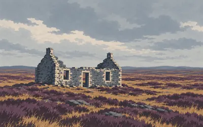
300 km (186 miles) · heritage
Moin House
A roof for people who might not make it
There is a ruined three-bay cottage on the crossing of A' Mhòine, and it was never anyone's home.
- The cottage was built in 1830 as a refuge for travellers crossing the Moine.
- A worn inscription on it commemorates the building of the road, paid for by the Duke of Sutherland.
- The listing record does not reproduce the inscription's wording.
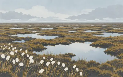
303 km (188 miles) · nature
The Flow Country
Riding across a World Heritage Site
For a few kilometres on the Moine crossing the road runs inside a World Heritage Site, and there is nothing to see.
- The Flow Country was inscribed as a World Heritage Site on 26 July 2024.
- The property covers about 187,000 hectares in seven discrete parcels.
- Its partnership calls it the world's first peatland World Heritage Site.
Loch Eriboll, Durness and the far north-west
305–395 km · 7 places
305 km (190 miles) · heritage
Hope Lodge
A railway verandah with no railway
A slate-hung shooting lodge of about 1870 at the foot of Ben Hope, built by the Sutherland estate. The register notices something odd about the verandah: it is detailed exactly like the platform canopies the same estate put up at Golspie station in 1868 and Helmsdale in 1871. One drawing office, two very different jobs, and most of a county between them.
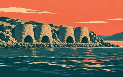
309 km (192 miles) · engineering
Ard Neackie
Four kilns on a tied island
A green lump of land joined to the shore of Loch Eriboll by a shingle neck, and on the seaward side of it, facing the water, four huge lime kilns in two pairs.
- There are four lime kilns, in two pairs of slightly different build, dating from about 1870.
- The pier that served the kilns also worked the Heilam to Portnancon ferry across Loch Eriboll.
- The house on the isthmus carries the Sutherland arms and a datestone whose date has worn away.
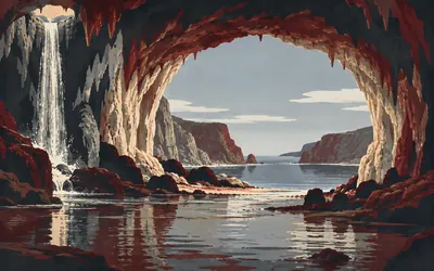
336 km (209 miles) · nature
Smoo Cave
A sea cave with a waterfall inside it
A narrow inlet cuts six hundred metres inland from the Durness coast and ends in a hole in the cliff: thirty-three metres across, forty-eight metres deep, and the entrance alone would swallow a house.
- The main chamber is 33 m wide and 48 m deep, at the head of an inlet running 600 m inland.
- Excavation of the midden found at least three phases of human occupation.
- If the lowest layer is Mesolithic, it would be the furthest north such finds have been made in Scotland.
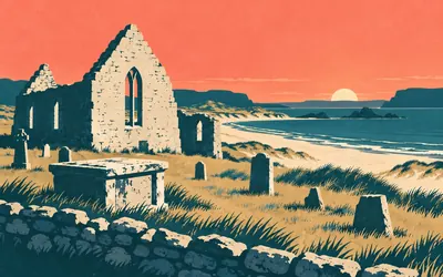
339 km (210 miles) · heritage
Balnakeil
Buried in the wall, not under the floor
A roofless kirk on the machair behind a white beach, believed built in 1619 and out of use by about 1814.
- The church is believed to have been built in 1619 and was out of use by about 1814.
- The mural tomb's epitaph, dated 1623, records that Duncan MacMorroch was true to his master in weird and woe.
- The craft village along the bay was built in the 1950s as an early-warning station and, on its own account, never commissioned.
380 km (236 miles) · heritage
Scourie House
The factor's house, said the estate
A plain double-pile house of about 1830 above the bay, said to have been built for the Sutherland estate's factor after the Duke bought the whole parish in 1829. A factor was the man who carried out the owner's decisions, which in this county in that decade meant a great deal. It was carefully divided into two houses in the early 1980s.
380 km (236 miles) · nature
Handa Island
Fifty thousand guillemots, counted
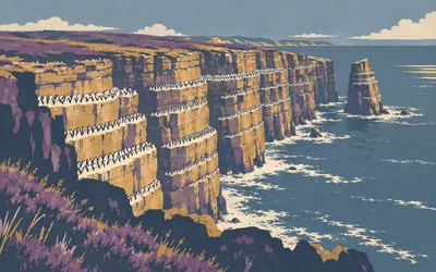
A small island off Scourie whose western side is a wall of Torridonian sandstone dropping straight into the Atlantic, and in early summer that wall is covered.
- The Trust's 2016 all-island survey counted 54,664 guillemots, against 56,000 in 2011.
- The same survey counted 333 puffins, against 320 in 2011.
- The island's seabird cliffs are Torridonian sandstone facing the open Atlantic.
395 km (246 miles) · engineering
Kylesku Bridge
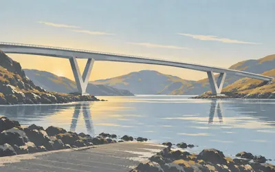
A curve on two V-shaped legs
It should not work and it does.
- The bridge is 276 m long with a central span of 132 m, on V-shaped piers.
- The 640-tonne central section was cast ashore, floated out on a barge and craned into place.
- It was opened by the Queen on 8 August 1984, ending a ferry service running since the early 19th century.
Assynt and Coigach
425–513 km · 8 places
425 km (264 miles) · heritage
Clachtoll Broch
It burned down and nobody came back
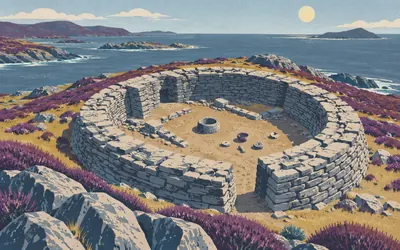
A broch on the shore at Clachtoll, sixteen point eight metres across with walls four metres thick, and the reason it matters is what happened at the end.
- The broch is 16.8 m in external diameter with walls averaging about 4 m thick.
- Fire destroyed it between 155 BC and AD 55, and it was never reoccupied.
- Excavation recovered a knocking stone still full of carbonised grain.
434 km (270 miles) · landmark
Lochinver
Forty-four thousand acres, bought back
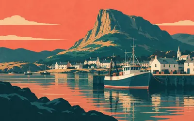
A working fishing port at the head of a sea loch, with a bridge of 1821 over the river carrying the Sutherland arms on its datestone, because in 1821 the arms on the bridge were the arms of the people who owned everything you could see.
- The bridge is dated 1821 and its datestone carries the Sutherland arms.
- The Assynt Foundation bought the Glencanisp and Drumrunie estates in June 2005.
- The purchase covered 44,400 acres under the 2003 Scottish land reform legislation.
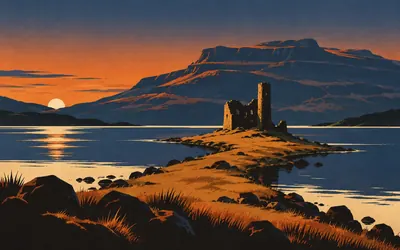
453 km (281 miles) · heritage
Ardvreck Castle
A tower on a spit in Loch Assynt
It is the picture everyone takes on this road, and it deserves the attention: a broken tower on a low spit running out into Loch Assynt, with Quinag behind it and the water usually doing something interesting with the light.
- The castle was the residence of the MacLeods of Assynt.
- The register dates it only as customarily end of the 16th century.
- A rampart and ditch cut across the neck of the peninsula on the landward side.
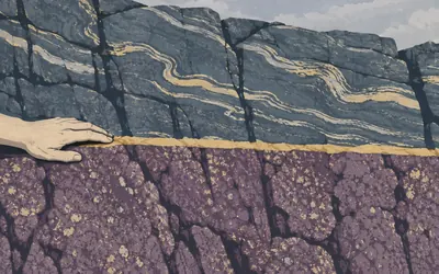
473 km (294 miles) · nature
Knockan Crag
Old rock lying on top of young rock
There is a line in the cliff here that broke geology.
- At Knockan, Moine rocks lie on top of much younger Cambrian quartzite and limestone.
- The Geological Society says this was one of the sites where Peach and Horne first understood thrust tectonics.
- The national nature reserve covers 22.71 hectares.
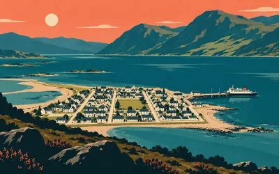
493 km (306 miles) · heritage
Ullapool
The other town built for herring
Ullapool is a grid on a gravel spit, and that is not an accident: like Pulteneytown at Wick, three hundred and twenty kilometres back, it was laid out by the British Fisheries Society to catch herring.
- Telford surveyed the works at Ullapool in 1790 before going on to plan Wick's Pulteneytown.
- The church of 1829 is a standard Telford Parliamentary T-plan design.
- Ullapool became a parish in its own right in 1833.
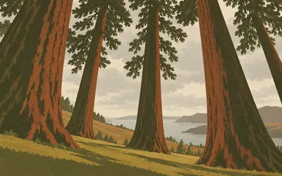
497 km (309 miles) · heritage
Leckmelm
An arboretum planted on cleared ground
There is an arboretum on the shore of Loch Broom with eighteen champion trees in it, some of the biggest of their kind in Britain and Ireland, and the inventory record tells you how the ground came to be free.
- The Tree Register of the British Isles records eighteen champion trees at Leckmelm.
- The estate was bought by an Aberdeen paper merchant in the 1870s.
- The inventory record states that he evicted the tenant crofters, then began planting the arboretum.
509 km (316 miles) · engineering
Auchindrean Bridge
Built by the man who built the Forth Bridge
A wrought-iron footbridge over the River Broom with a lens-shaped truss and a timber deck hung from it on lattice girders, put up around 1870 by John Fowler, who bought the estate in 1867 and who was engineer-in-chief and joint designer of the Forth Bridge. The industrial archaeologist John Hume called it unique in Scotland, and the listing quotes him.
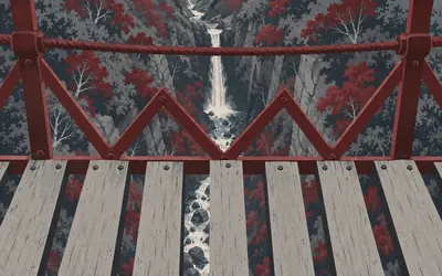
513 km (319 miles) · nature
Corrieshalloch Gorge
Standing over the drop on eighty-four feet of iron
A box canyon in the middle of nowhere, so narrow and so tree-choked that from the road you would not know it was there.
- The suspension footbridge has an 84-foot span and was built by Sir John Fowler.
- Fowler was engineer-in-chief and joint designer of the Forth Bridge.
- The national nature reserve covers 6.93 hectares.
Wester Ross: Gruinard to Loch Maree
563–678 km · 7 places
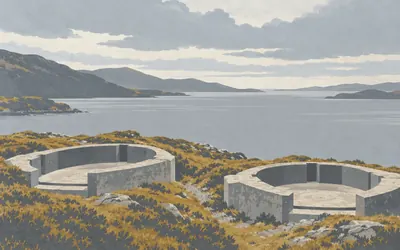
563 km (350 miles) · heritage
Loch Ewe
Where the Arctic convoys formed up
A wide sheltered sea loch with a narrow mouth, which in 1941 made it exactly what the Admiralty needed.
- The Cove battery's two six-inch guns were installed in July 1941 and came from HMS Iron Duke.
- The site was manned by 308 and then 154 Independent Coast Battery, Royal Artillery.
- The record notes there is no evidence the battery ever fired in anger.
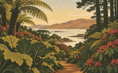
572 km (355 miles) · nature
Inverewe
A garden that had to grow its own weather
A twenty-year-old was given two estates by his mother in 1862 and spent the next sixty years turning a headland of rock and shingle into one of the most exotic plant collections in Scotland.
- Osgood Mackenzie was 20 when his mother bought him the estate in 1862.
- He began planting shelterbelts in 1864 before anything tender could be grown.
- His daughter Mairi Sawyer gave the 2,100-acre estate to the National Trust for Scotland in 1952.
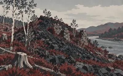
574 km (357 miles) · engineering
Red Smiddy
Very probably Scotland's first blast furnace
A mound of slag and stone in the trees south of Poolewe, and on the register's own careful wording, very probably the first charcoal-fired blast furnace ever built in Scotland.
- The register calls it very probably the first charcoal-fired blast furnace built in Scotland.
- It was built before 1608 by Sir George Hay of Kinfauns, Earl of Kinnoull.
- Ore was shipped in from central Scotland and smelted with charcoal made locally.
609 km (378 miles) · engineering
Fasagh
Quite inscrutable, and defies understanding
At the far end of Loch Maree from Red Smiddy sits its older cousin: not a blast furnace but a bloomery, making wrought iron directly, and probably standing before 1597. The register thinks it may be the only substantial advanced bloomery left in Scotland and potentially one of the most significant industrial sites in the country, then admits it is quite inscrutable and defies understanding.
613 km (381 miles) · nature
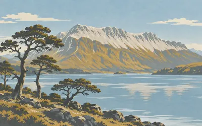
Beinn Eighe
Quartzite scree over a surviving pinewood
The mountain is unmistakable: a long ridge whose upper third is pale grey quartzite scree, so light against the dark Torridonian sandstone underneath it that in certain weather it looks like snow in July.
- The national nature reserve covers 4,856 hectares.
- Its pinewood, Coille na Glas Leitir, is a surviving fragment of Caledonian forest on Loch Maree.
- NatureScot calls it the UK's first national nature reserve, set up in 1951.
629 km (391 miles) · nature
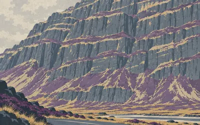
Torridon
Loch shore to mountain in one reserve
The road comes round the head of the loch and Liathach simply stands up in front of you: a wall of horizontally bedded sandstone in terraces, rising almost from the roadside with no foothills to soften it.
- The reserve covers about 5,072 hectares.
- NatureScot's own published boundary for the reserve reaches the road at the shore of Loch Torridon.
- The mountains are mainly Torridonian sandstone standing on far older Lewisian gneiss.
678 km (421 miles) · heritage
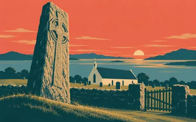
Applecross
A monastery founded in 673
Maelrubha came from Ireland and founded a monastery here in 673, and the register states that as fact rather than tradition.
- The register dates the monastery's foundation by Maelrubha to AD 673.
- It calls it probable that Applecross was of comparable importance to Iona.
- The Gaelic name for the district, A' Chomraich, means the Sanctuary.
Glen Carron, Strathpeffer and the road home
757–811 km · 7 places
757 km (470 miles) · engineering
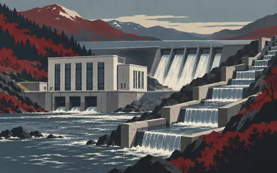
Achanalt Power Station
Power for the glens, and a staircase for salmon
A small, neat, oddly handsome building beside the road, and a piece of one of the great public projects of twentieth-century Scotland.
- The station was designed in 1952 by James Shearer and generating by 1957.
- The North of Scotland Hydro Electric Board kept its own architectural panel to fit buildings to the landscape.
- A fish pass of linked pools, part concrete and part bedrock, runs beside the station.
766 km (476 miles) · engineering
Little Garve Bridge
Caulfeild's, not Wade's
Two arches of rubble over the Black Water in a birch wood, built about 1762 for the military road from Contin to Poolewe. Everybody says Wade. The register says Caulfeild, without hedging it: William Caulfeild took over the programme and built the great majority of the military roads in the Highlands, and got almost none of the credit.
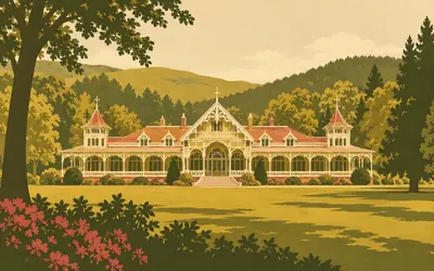
779 km (484 miles) · heritage
Strathpeffer Spa
A Victorian resort in a Highland glen
Sulphurous water comes out of the ground here, and in the nineteenth century that was worth a railway.
- A wooden pump room was built over one of the wells in 1819.
- William Joass designed the spa pavilion, built between 1879 and 1881.
- The present Upper Pump Room replaced its predecessor in 1909.
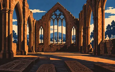
791 km (492 miles) · heritage
Beauly Priory
Valliscaulians, north of the Highland line
A roofless red sandstone church standing in a square of grass in the middle of the village, and one of very few medieval monasteries anywhere north of the Highland line.
- The priory was founded around 1230 for the Valliscaulian order.
- It was probably unroofed about 1560 and thereafter used for burials.
- It is one of very few medieval monasteries north of the Highland line.
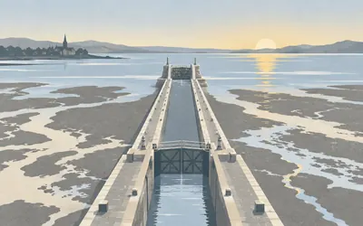
809 km (503 miles) · engineering
Clachnaharry Sea Lock
The hardest stretch of the whole canal
The Beauly Firth has a bed of soft mud, and a canal cannot start in mud.
- The sea lock stands at the end of an artificial embankment pushed out into the Beauly Firth.
- The register calls it one of the most difficult parts of the canal to build.
- When Telford designed the Caledonian Canal in 1803 it was the largest canal in the world.
811 km (504 miles) · heritage
Inverness Town House
The Cabinet met here, once
A Flemish-Baronial pile of 1878 on the High Street, and on 7 September 1921 the British Cabinet met in it: the first time, its custodians say, that a Cabinet had sat outside London. The Prime Minister was on holiday at Gairloch, which you rode past two hundred and thirty kilometres ago, and Ireland was the business. What they agreed here is still called the Inverness Formula.
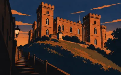
811 km (504 miles) · landmark
Inverness Castle
Back at the start, under a courthouse
You come up Castle Wynd, the statue is where you left her, and the loop closes.
- The medieval castle on this site was destroyed by the Jacobite army in 1745.
- The court house is by William Burn, 1833-6, with a prison and police station by Thomas Brown II, 1846-8.
- The medieval castle's well survives between the two buildings and was restored in 1909.
Take on Scottish North Coast Loop and collect these places as you reach them
Common questions
How does my riding count towards closing the loop?
One connection to Strava or Apple Health is all it takes: from then on each ride, run or walk you log carries you further round the circuit from Inverness. Because this is a loop rather than a crossing, progress is measured as the share of the circle you have closed, and at 150 km a week the circle closes in five to six weeks.
Do I have to be in the Highlands to ride it?
No. The circuit is a number of kilometres, not a postcode, so flat Midlands commuting counts as much as a climb out of Ullapool. You will miss the west coast weather, which few people mourn, but you still have to cover the same 811 km and you still finish where you started.
Is this the NC500?
It is a virtual loop inspired by the North Coast 500, covering the same wild stretch of the Scottish Highlands from Inverness. We use the descriptive name Scottish North Coast Loop, and the route is not affiliated with or endorsed by the NC500 brand.
How long is the virtual loop?
The Route Rally route covers about 811 km, or roughly 504 miles, looping out of Inverness around the north Highland coast and back, in keeping with the famous 500-mile circuit.
How long does it take to complete?
At a steady 150 km a week on the bike it works out at five to six weeks. Ride 250 km a week and the loop closes inside a month, while runners often treat it as a multi-month project. You decide the deadline when the rally is created.
Can a club or team take it on together?
Definitely. Start a rally for a club, a workplace or a group of friends, and all their synced rides and runs move round the same Highland loop towards the finish back at Inverness.
Start your Scottish North Coast Loop Conquest
Joining is free. Connect Strava or Apple Health once and every ride, run or walk you record syncs automatically, moving you along the route without anything else to log.