Conquer the Virtual California Coastal Traverse Challenge
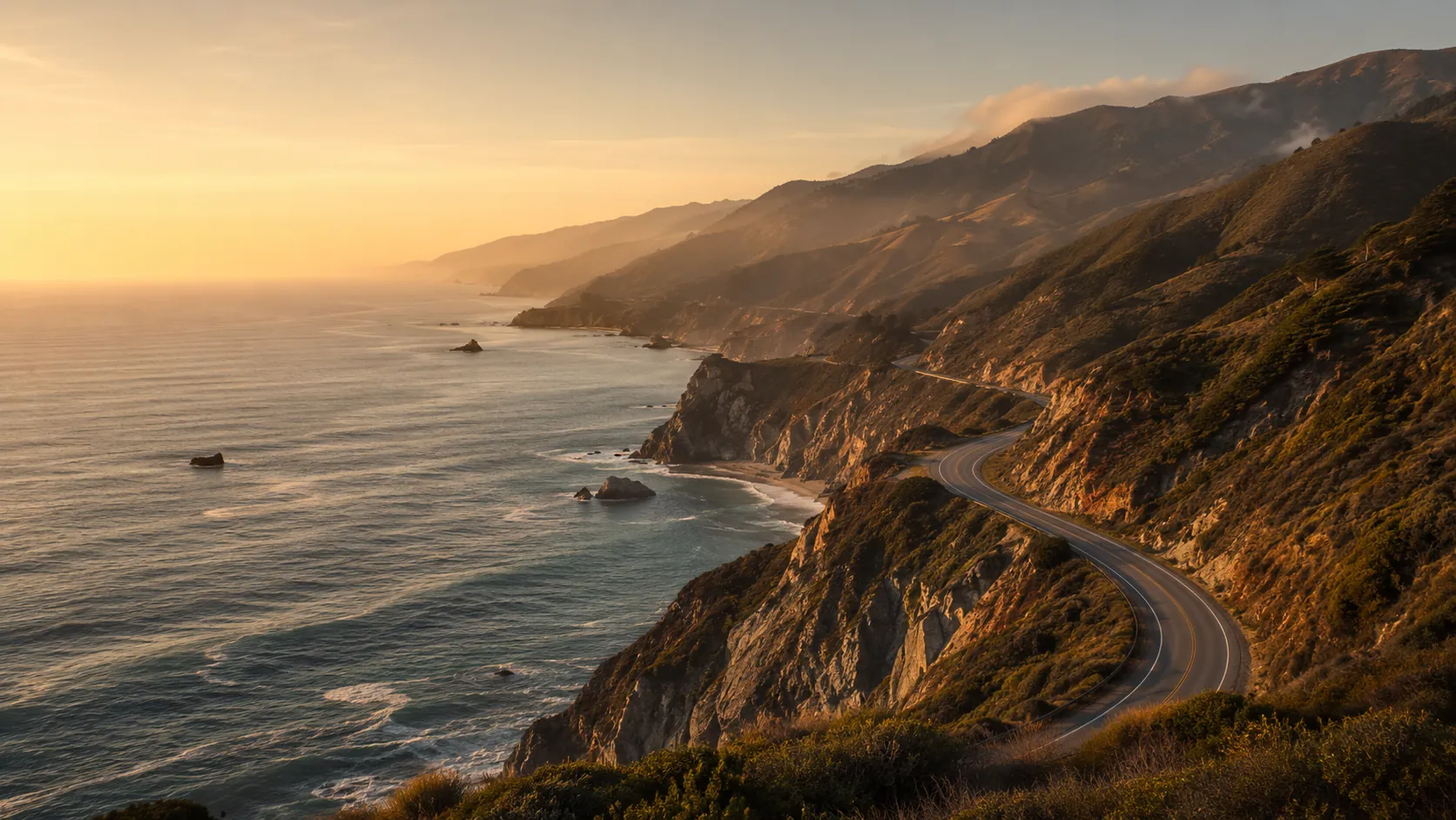
Ride the length of California from your own roads. The California Coastal Traverse runs about 1,053 km (roughly 655 miles) from the Golden Gate Bridge to San Diego, tracing Highway 1 and 101 past redwood groves, the cliffs of Big Sur, the Malibu surf and the beaches of Orange County. Route Rally turns every synced cycle, run or walk into progress along it, so you can chase the Pacific coast without leaving home.
- Route: California Coastal Traverse
- Distance: 1053.3 km
- Elevation gain: 9670 m
- Long coastal endurance goal
- Best for: Longer rallies of your own for clubs and teams, and steady multi-month mileage
Planning your challenge
A cyclist averaging 150 km/week finishes in about seven weeks; runners at 40 km/week treat it as a six-month target, and walkers as a year-long goal.
This is a Long route by Route Rally distance bands, so it is best when you want a challenge that keeps a group moving for months.
Works well for committed cyclists and clubs who want a scenic, long-haul route to share on one leaderboard.
Create your own rally for your own coastal target, solo or with a group sharing one leaderboard.
Why this route
- The California Coastal Traverse follows the Pacific coast about 1,053 km (655 miles) from San Francisco to San Diego along Highway 1 and 101.
- As a virtual challenge its scale turns months of everyday riding into a journey past Big Sur, Malibu and the beaches of Southern California.
- It suits cyclists best, but runners and walkers can take it on as a longer-term target at their own pace.
- At a steady 150 km a week on the bike you would reach San Diego in around seven weeks, while 250 km a week brings it inside a month.
- The distance makes it a strong flagship route for clubs and teams wanting a scenic, multi-month goal.
Highlights
- Start at Fort Point beneath the Golden Gate Bridge in San Francisco
- Follow the coast past Pigeon Point, Año Nuevo and Santa Cruz
- Build distance through Big Sur by Limekiln and Piedras Blancas to Morro Rock
- Roll on past the Oceano Dunes, the Gaviota Pass and the Santa Barbara Mission
- Carry on by Point Dume, Malibu Lagoon and Crystal Cove
- Finish through Torrey Pines at Cabrillo National Monument on the San Diego waterfront
Places along the route
Every place below is measured onto the route line, so the distance shown is where you actually reach it.
Places are researched from published sources. The distances are measured rather than estimated: we find the point on the route's own recorded line that lies nearest the place, and give the distance along the route to that point.
San Francisco: the bridge, the Presidio and the ocean side
0–127 km · 10 places
0 km (0 miles) · heritage
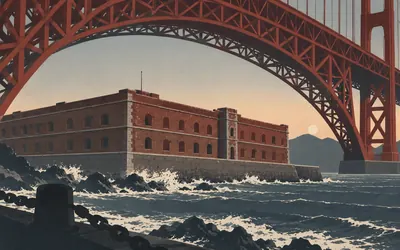
Fort Point
Metre zero, under the bridge
A three-tiered brick fort standing in the surf directly beneath the southern end of the Golden Gate Bridge, and the reason it is still there is that the bridge was bent around it.
- California's state register calls it the only brick fort west of the Mississippi.
- Joseph Strauss designed a special arch so the Golden Gate Bridge could be built over it.
- The Spanish battery on this spot, Castillo de San Joaquín, was finished in December 1794.
7 km (4 miles) · heritage
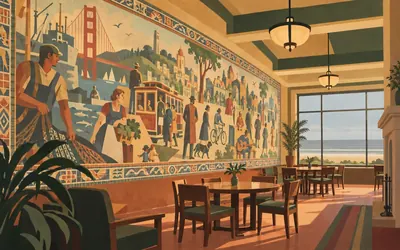
The Beach Chalet
Depression frescoes facing the surf
Willis Polk built this in 1925 at the far western end of Golden Gate Park, and the register is briskly unimpressed by the outside: a low horizontal building without architectural pretension.
- The murals were painted in 1936 by Lucien Labaudt and cover 1,500 square feet.
- The mosaic framing around them is by Primo Caredio, to Labaudt's design.
- The building replaced an earlier chalet restaurant that had been allowed to rot.
26 km (16 miles) · viewpoint
Sweeney Ridge
The word the register puts in quotation marks
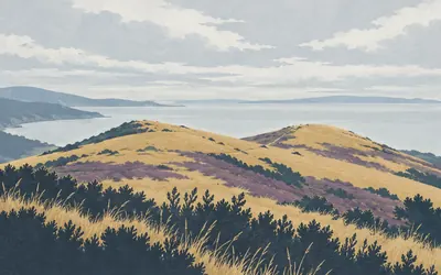
On 4 November 1769 a Spanish party under Gaspar de Portolá climbed to two bare knolls on this ridge and saw San Francisco Bay spread out below them, which is how Europeans found the greatest harbour on the coast by walking past its entrance and coming at it over a hill.
- The landmark is 18.15 acres of open ground with no structures on it.
- Portolá's party reached the ridge on 4 November 1769, four days after camping below it.
- The nomination writes "discovery" in quotation marks and names no Indigenous people at all.
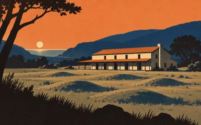
30 km (19 miles) · heritage
Sánchez Adobe
A village, an outpost, and one sentence
A low adobe house in a Pacifica valley, built in the 1840s by Francisco Sánchez on ground that had already been an Ohlone village and then a farm outpost of Mission Dolores.
- The nomination records the mission outpost's workers as baptised from the village on this site.
- Work on the outpost ran from 1785 or 1786 until an epidemic in 1791.
- Francisco Sánchez held the 8,926-acre Rancho San Pedro and was alcalde of San Francisco.
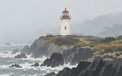
37 km (23 miles) · landmark
Point Montara Light
A station that was a noise before it was a light
For twenty-five years this was not a lighthouse at all.
- It was a fog-signal station only from 1875, and did not get its present tower until 1928.
- The register calls it the only bolted metal-sided lighthouse in California.
- Two wrecks in the 1860s and 1870s, the Colorado and the Acuelo, prompted the station.
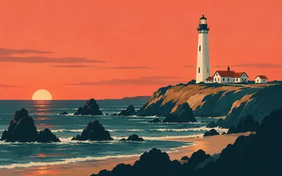
82 km (51 miles) · landmark
Pigeon Point
Named after the ship that was lost here
The clipper Carrier Pigeon ran aground five hundred feet off this headland on the night of 6 June 1853, four months out of Boston on her maiden voyage.
- The clipper Carrier Pigeon was wrecked here on 6 June 1853 and gave the point its name.
- The lamp was first lit at sunset on Friday 15 November 1872.
- Its first-order Fresnel lens had previously been installed at Cape Hatteras, North Carolina.
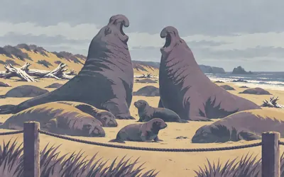
91 km (57 miles) · nature
Año Nuevo
Elephant seals, and who was here first
Between mid December and the end of March this beach is covered in northern elephant seals fighting, breeding and giving birth, and you may only see it on a guided walk that keeps you twenty-five feet back.
- Guided elephant seal walks run 15 December to 31 March, and the 25-foot distance is enforced.
- California State Parks calls the Quiroste a significant and wealthy tribe of this coast.
- The park records that the Quiroste nursed Portolá's sick expedition back to health in 1769.
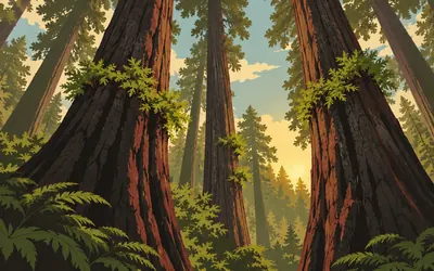
97 km (60 miles) · nature
Big Basin Redwoods
Burned, and standing
A group of conservationists camped under these trees on 15 May 1900, formed a club, and by September 1902 had got three and a half thousand acres of old-growth redwood deeded to the state.
- 3,500 acres were deeded to the state on 20 September 1902.
- Mature redwood bark can be a foot thick and is rich in tannin, a natural flame retardant.
- California State Parks now works with Indigenous peoples of California on prescribed burns.
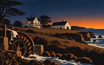
122 km (76 miles) · heritage
Wilder Ranch
Artificial sunrise
A working dairy on the terrace above the sea, with an 1840s adobe, a Victorian farmhouse and a machine shop still run off a Pelton wheel in the creek.
- A San Francisco paper credited D. D. Wilder with inventing "artificial sunrise" in 1889.
- The family farmed here until 1969, when property taxes overtook the farm income.
- Snowy plovers nest in the beach preserve, which is closed to the public.

127 km (79 miles) · landmark
The Santa Cruz Carousel
Seventy horses and a ring dispenser
Seventy hand-carved horses, going round since 1911, and an arm beside the track that hands out steel rings as you pass so you can throw them at a clown's mouth.
- The band organ dates from 1894 and has 342 pipes.
- Six Looff carousels survive in the United States; this one has never been moved.
- The Giant Dipper's arches reach 75 feet and the ride is half a mile long.
Monterey Bay, the Salinas Valley and the road inland
135–337 km · 9 places
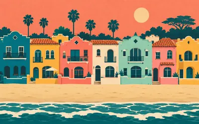
135 km (84 miles) · heritage
Venetian Court
A second Venice, on one acre
A developer called Rispin looked at Capitola in the 1920s and, in the register's words, envisioned a second Venice.
- Twenty-four townhouses and a seventeen-unit motel stand on a one-acre site.
- The plaster relief work features smiling gargoyles and dolphins.
- The register records that fishermen's shanties on this spot were cleared for it.
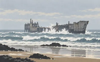
140 km (87 miles) · engineering
The Cement Ship
A concrete tanker with a dance floor
Wartime steel shortages produced a small number of ships made of concrete, and two of them were built at the naval yard in Oakland.
- She was towed here in 1929 and deliberately sunk in position on her only voyage.
- By summer 1930 she had a dance floor, a cafe and a fifty-four foot heated pool.
- The pier out to her was destroyed by storms in early 2023 and removed by that May.
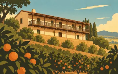
152 km (94 miles) · heritage
Castro Adobe
Two registers, two different decades
A two-storey adobe hacienda above the Pájaro Valley, with a fandango room on the upper floor and the only surviving Monterey Colonial building in Santa Cruz County.
- It is the only Monterey Colonial building left in Santa Cruz County.
- The National Register says the build date is not recorded; State Parks says 1848 to 1849.
- State Parks names the Awaswas-speaking Aptos tribe as the homeland's people.
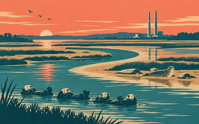
169 km (105 miles) · nature
Elkhorn Slough
Seven miles of salt marsh, inland
The road crosses a gap in the dunes and behind it the sea reaches seven miles inland through a salt marsh that NOAA calls the second largest in California, after San Francisco Bay.
- NOAA calls it the second largest salt marsh in California, after San Francisco Bay.
- It became a national estuarine research reserve in 1979 and protects 1,739 acres.
- NOAA counts 135 bird species here, six of them threatened or endangered.
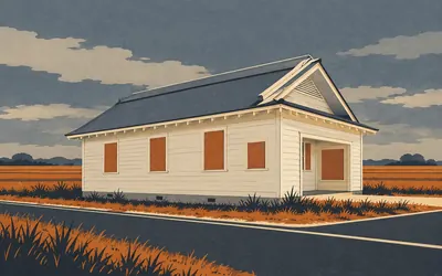
178 km (111 miles) · heritage
The Japanese Language School
Finished in 1936, used for six years
A plain wooden hall with a slightly hipped temple roof, paid for by no more than a dozen very poor farming families and finished in 1936.
- It was finished in 1936 and used for six years.
- Japanese-American children were about a quarter of the public school's roll across the street.
- The register's own closing words are that the community was completely wiped out.
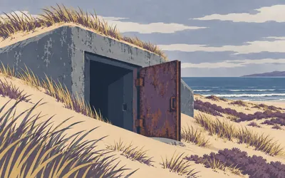
189 km (118 miles) · heritage
Fort Ord Dunes
Nine hundred and seventy-nine acres of rifle range
Four miles of dune and beach that were firing ranges until 1994.
- The Army removed 162,800 yards of lead-contaminated soil and 719,000 pounds of spent ammunition.
- More than 1,500,000 soldiers trained at Fort Ord between 1940 and 1973.
- 979 acres of a 28,000-acre fort were transferred to California State Parks in 2009.
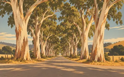
221 km (137 miles) · nature
The Eucalyptus Row
Thirty-three trees on the National Register
Not a building.
- Thirty-three trees, listed as a site under the landscape architecture criterion.
- Their average girth is 22 feet, measured two feet above the ground.
- The planting date rests on a single memoir, which the nomination states openly.
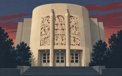
302 km (188 miles) · heritage
King City Auditorium
An ellipse in the Salinas Valley
A federal relief project dropped a streamlined concrete theatre into a farming town of a few thousand people.
- It seats 596 on the main floor and 387 in the balcony.
- The winning bid was $133,150, of which the Works Progress Administration paid $54,000.
- The sculptor Jo Mora lived with the Hopi for three years and was made a member of the tribe.
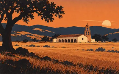
337 km (209 miles) · heritage
Mission San Antonio de Padua
Four authorities, one valley
The third mission in California, founded in July 1771, and the only one still standing in open country rather than a town, because the land around it is an Army training range.
- The church was begun in 1810 and finished in 1813, 200 feet long with six-foot walls.
- The National Register nomination was written by the Franciscan order that owns the mission.
- The US Army calls the surrounding installation the ancestral homeland of the Salinan people.
Big Sur south, San Simeon and San Luis Obispo
377–518 km · 8 places
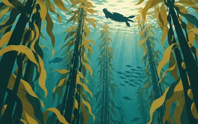
377 km (234 miles) · nature
Monterey Bay Sanctuary
Two miles down, thirty miles out
The road has just come over the Santa Lucia range and dropped onto the coast, and everything from the surf to the horizon is a federal marine sanctuary, designated in September 1992.
- It covers 6,094 square miles and 276 miles of shoreline, from Marin to Cambria.
- NOAA gives its known depth as 12,743 feet, more than two miles.
- NOAA counts at least 36 marine mammal species and 525 fish species in it.
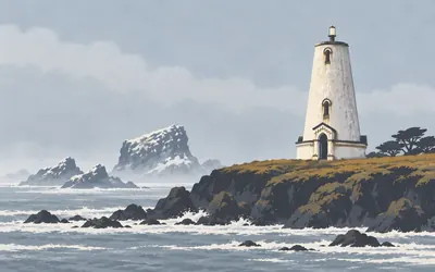
423 km (263 miles) · landmark
Piedras Blancas
Beheaded by a storm in 1949
For a hundred and forty-five miles between Monterey and Point Conception there was no light at all, and ships kept finding that out.
- Before it was built there was no light for some 145 miles, from Point Pinos to Point Conception.
- A storm in 1949 destroyed the lantern room; the tower has been shortened ever since.
- Its original first-order Fresnel lens is now on display in a park at Cambria.
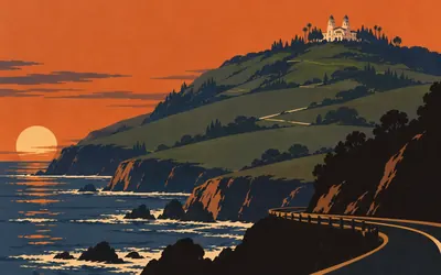
432 km (268 miles) · landmark
La Cuesta Encantada
Five miles inland and a long way up
You cannot really miss it: white towers on the ridge above the road, five miles inland and a long way up.
- George Hearst's ranch here reached 240,000 acres.
- Building ran from 1919 to Hearst's death in 1951 and cost between $30 and $40 million.
- The designated historic area of La Cuesta Encantada covers 127.06 acres.
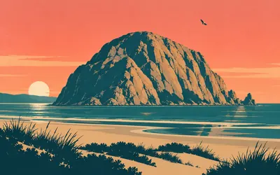
478 km (297 miles) · landmark
Morro Rock
A twenty-three million year old plug
A bare dome standing in the water at the harbour mouth, and it is the throat of a volcano: a plug of hard rock twenty-three million years old left behind when everything softer around it wore away.
- It is a volcanic plug, dated by California State Parks to 23 million years.
- American peregrine falcons nest on it and climbing the rock is illegal.
- The state landmark register's entry for it is truncated mid-sentence on the state's own page.
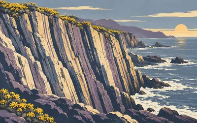
481 km (299 miles) · nature
Montaña de Oro
Mountain of Gold, named for the flowers
Over eight thousand acres and seven miles of shoreline, which California State Parks says makes it one of the largest state parks in California, and almost none of it is developed.
- Over 8,000 acres and seven miles of shoreline.
- Valencia Peak stands at 1,347 feet.
- The name means Mountain of Gold and refers to the spring wildflowers.
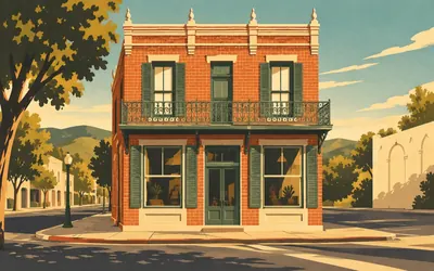
502 km (312 miles) · heritage
The Ah Louis Store
A man who was given his own name
Wong On left a village near Canton in 1861, aged twenty-one, to get away from a war and look for gold.
- The wooden store of 1874 was replaced in brick on the same site in 1885.
- Workers hired here dug the eight Southern Pacific tunnels through the Cuesta grade.
- Ah Louis built the area's first brickyard and supplied many of the town's buildings.
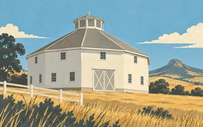
505 km (314 miles) · engineering
The Octagon Barn
Eight sides, five thousand square feet
Right beside the highway on the way out of San Luis Obispo stands a white eight-sided dairy barn, put up in 1906 on ground that had been a Mexican land grant.
- Built in 1906 and roughly 5,000 square feet under one roof.
- Forty-five feet tall, including a ten-foot louvred octagonal cupola.
- Volunteers restored it over nearly fifteen years, finishing in 2012.
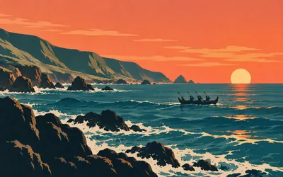
518 km (322 miles) · nature
Chumash Heritage Sanctuary
Nine years from nomination to law
The Northern Chumash Tribal Council put in a nomination for this water in July 2015.
- The Northern Chumash Tribal Council submitted the nomination in July 2015.
- The designation became effective on 30 November 2024, forty-five days after the final rule.
- It covers 4,543 square miles along 116 miles of coastline.
The dunes, Lompoc, the Gaviota coast and Santa Barbara
534–728 km · 13 places
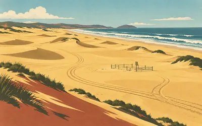
534 km (332 miles) · nature
Oceano Dunes
The beach you are allowed to drive on
A state park where the surface is sand and the traffic is real.
- Off-highway vehicles may only unload from post 2, one mile south of Pier Avenue.
- Crossing Arroyo Grande Creek is prohibited when the water is deeper than twelve inches.
- A seasonal bird exclosure inside the park is closed to all public access.
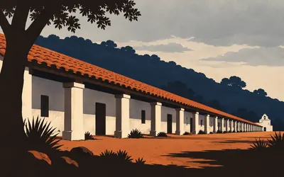
584 km (363 miles) · heritage
La Purísima Mission
A whipping at Santa Inés, and what followed
California State Parks does not hedge about this place, so this card will not either.
- State Parks records more than 1,500 Chumash labouring here by 1804, removed from their land.
- Smallpox and measles killed several hundred Chumash between 1804 and 1807.
- The Civilian Conservation Corps rebuilt the mission between 1935 and 1942.
627 km (390 miles) · viewpoint
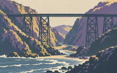
Gaviota Pass
The gap everything has to go through
The mountains come down to the sea here and there is one way through them, which is why the state landmark register lists the pass itself rather than anything built in it: Native Californians used it, then Spanish and Mexican travellers, then everyone since, moving between the interior and the Santa Barbara coast.
- The pass itself is California Historical Landmark 248, registered in 1937.
- Caltrans designates 21 miles of Highway 101 here as a state scenic highway.
- No authority reached publishes a date, builder or span for the railway trestle.
662 km (411 miles) · engineering
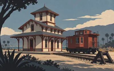
Goleta Depot
Ninety days to move a station
Southern Pacific took more than a decade to close the coast line, and the last eighty-six miles of it were all in this county and known to the crews as the Gap.
- Eight Combination Station No. 22 depots were built in Santa Barbara County; this is the only survivor.
- It was moved about 1.85 miles on 18 and 19 November 1981.
- Planting put in during 1982 now hides it from the National Register house next door.
669 km (416 miles) · heritage
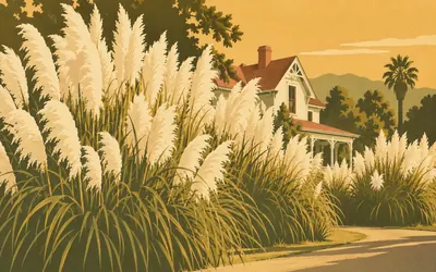
The Sexton House
Five hundred thousand feathers a year
Joseph Sexton ran a nursery here from the 1860s and made his money out of pampas grass.
- By 1889 the nursery produced over 500,000 pampas plumes a year.
- The first shipment went to New York in 1874; the craze ended around 1900.
- No catalogue from the Sexton Nursery is known to survive.
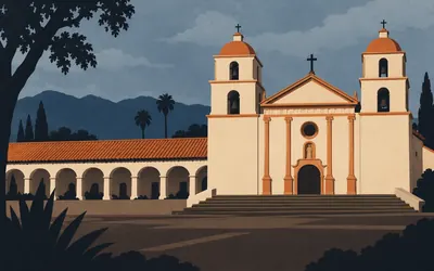
679 km (422 miles) · heritage
Santa Barbara Mission
The register counts them and does not say why
Four churches stood on this spot in thirty-three years, each bigger than the last, and the fourth is the twin-towered stone one you can see from the road.
- Four successive churches stood here between 1787 and 1820.
- The register counts 1,792 Indigenous people here in 1803 and 246 in 1839.
- The nomination never uses the word Chumash; it writes "Canalino Indians".
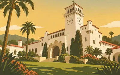
681 km (423 miles) · landmark
Santa Barbara Courthouse
A working court built as a castle
In June 1925 an earthquake, which the nomination records as killing twelve, flattened most of downtown Santa Barbara.
- The nomination records the 1925 earthquake as magnitude 6.3, killing twelve and destroying most of downtown.
- The clock tower rises 111 feet and the whole block covers 4.65 acres.
- The dedication plaque is set in mortar mixed with water from all twenty-one California missions.
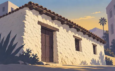
681 km (423 miles) · heritage
El Presidio de Santa Bárbara
Who actually built it
The last Spanish fort raised in Alta California, founded in April 1782 while the American revolution was still being fought on the other side of the continent.
- Founded 21 April 1782, the last of four Spanish presidios in Alta California.
- State Parks says Chumash people built the walls under Spanish supervision, and names none of them.
- State Parks calls El Cuartel the second oldest building in California.
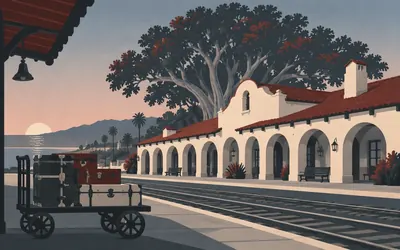
682 km (424 miles) · heritage
The Southern Pacific Depot
Four hundred trunks a day
When the rails finally joined up in 1901 the tourists arrived by the trainload, and Southern Pacific built this station in 1905 to give them, in the register's phrase, a first contact with the town redolent of romance and history.
- A transfer company handled 400 trunks a day off this station by 1914.
- The passenger arcade was infilled for freight offices in 1949.
- The Moreton Bay fig outside was made a city landmark in 1977, aged about a hundred.
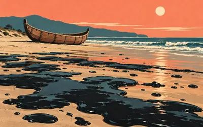
706 km (438 miles) · nature
Carpinteria
The Carpenter Shop
Tar comes up out of the ground on this beach by itself and always has.
- State Parks says the Chumash sealed their plank tomols with the asphaltum seeping here.
- The Spanish name means the carpenter shop, after the canoe building they saw in 1769.
- The 1955 state landmark record says wooden canoes and does not mention tar at all.
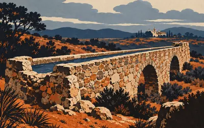
728 km (452 miles) · heritage
Mission San Buenaventura
About seven miles of water, built by those it displaced
The ninth mission and the last Serra dedicated.
- The aqueduct ran about seven miles and was destroyed by floods in 1862.
- The parish records that the Chumash built it, between 1805 and 1815.
- The National Register nomination uses the word Chumash once; the state landmark record never.
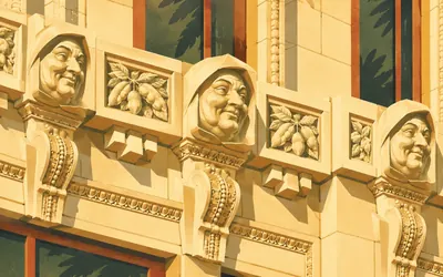
728 km (452 miles) · landmark
Ventura City Hall
Twenty-four friars and a bouquet of beans
A domed neoclassical courthouse looking down California Street to the sea, faced in glazed terracotta and paid for, the city says, largely by lima beans, which were then the county's chief cash crop and which appear in bouquets on the medallions.
- Twenty-four terracotta friars' faces run between the first and second floor windows.
- Medallions on the gates carry bouquets of lima beans, the county's cash crop at the time.
- The National Register nomination never mentions the friars at all.
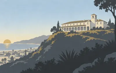
728 km (452 miles) · heritage
The Bard Hospital
Its founder was its first patient
Cephas Bard was the first doctor in Ventura County, arriving from Pennsylvania in 1868.
- It opened on 1 January 1902 and its founder died in it on 20 April the same year.
- His ashes were kept in the building until 1976.
- The interior was built without corners, the register says, to deny dirt a foothold.
The Oxnard plain, Malibu, Santa Monica Bay and the South Bay
747–901 km · 12 places
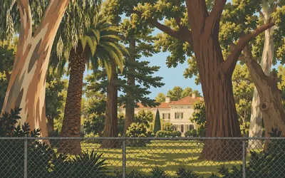
747 km (464 miles) · heritage
Berylwood
Two hundred and sixty rare trees behind a Navy fence
Thomas Bard came west to look for oil and found it.
- The register credits Bard's partnership with California's first oil refinery and pipeline.
- He was one of nine founders of the Union Oil Company of California in 1890.
- About 260 rare trees of 46 genera and 78 species stand on the estate.
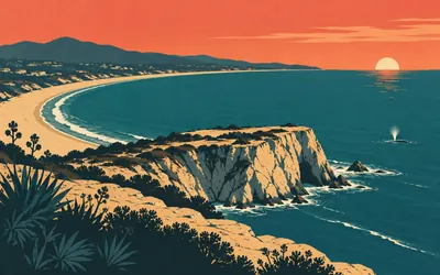
789 km (490 miles) · viewpoint
Point Dume
Named for a friar, spelled wrong ever since
On 24 November 1793 George Vancouver stood off this headland, working out how far Spanish settlement reached up the coast, and named it after a Franciscan he had got on with at Mission San Buenaventura, sixty kilometres back along your route: Father Francisco Dumetz.
- Vancouver named it on 24 November 1793 after Father Francisco Dumetz.
- It is the western end of Santa Monica Bay.
- Grey whales pass on migration between December and mid-April.
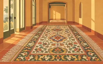
803 km (499 miles) · heritage
The Adamson House
Six years of a tile works, tiled into one house
Malibu Potteries existed from 1926 to 1932 and that was all: six years of making decorative tile out of local clay, then the Depression and a fire ended it.
- Malibu Potteries operated for only six years, from 1926 to 1932.
- The house was designed by Stiles O. Clements in 1929.
- The state register calls its tile the best surviving examples of that pottery's work.
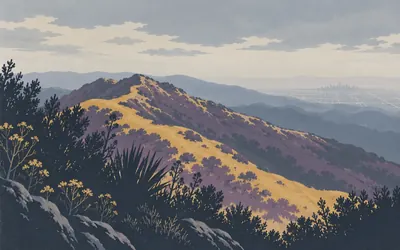
812 km (504 miles) · nature
Topanga State Park
Considered, by somebody
Every acre of this park is inside the Los Angeles city limits, and California State Parks says it is considered the world's largest wildland within the boundaries of a major city.
- The park lies entirely within the Los Angeles city limits.
- California State Parks calls it "considered the world's largest wildland" inside a major city.
- The park's own page publishes no acreage figure at all.
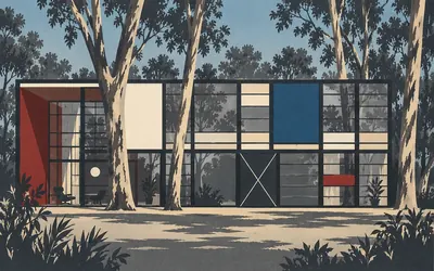
818 km (509 miles) · heritage
The Eames House
Ordered out of a catalogue
Two boxes of steel and glass and coloured panels set into a meadow of eucalyptus above the sea, put up in 1949 out of parts ordered from industrial catalogues.
- It was built in 1949 from off-the-shelf industrial components.
- The Eameses lived in it until their deaths in 1978 and 1988.
- The landmark record calls it the most published house of the whole Case Study programme.
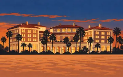
822 km (511 miles) · heritage
Club Casa del Mar
A two million dollar beach club, and then everything else
In the 1920s this stretch of Santa Monica sand was lined with private beach clubs, and two Los Angeles businessmen spent two million dollars in 1926 on the grandest of them.
- It opened in 1926 at a cost of two million dollars.
- It ran as a beach club to 1941 and again from 1946 into the early 1960s.
- The Army, the Synanon Foundation and a longevity centre all occupied it afterwards.
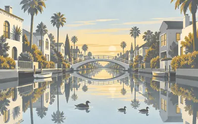
827 km (514 miles) · engineering
The Venice Canals
Not the ones you have heard about
Abbot Kinney dug canals through a coastal marsh in 1905 and called the result Venice of America, and everybody knows that.
- Abbot Kinney's original canals were filled in and paved over in 1929.
- The six surviving canals were dug in 1905 by the Ocean Park Improvement Association.
- Oil was found in Venice in 1929 and well towers lined the southern canals.
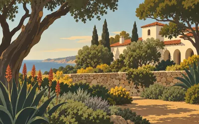
853 km (530 miles) · heritage
Palos Verdes Library
A town with an Art Jury
Palos Verdes Estates was laid out as a whole town on a hillside, and in 1922 it set up an Art Jury with power over the design of every commercial and residential building in it.
- The town's Art Jury, established 1922, controlled the design of every building.
- The Olmsted Brothers laid out the grounds, planting 23 different species in 1930.
- It is built of hollow-cast double-walled reinforced concrete.
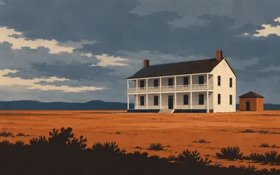
868 km (539 miles) · heritage
Drum Barracks
The Civil War, and the camels
California was a Union state a very long way from the fighting, and this was where the Union Army ran it from: established in 1862, headquarters for southern California, Arizona and New Mexico, a garrison and a supply base.
- It was the US military headquarters for southern California, Arizona and New Mexico.
- It was the terminus of the Army's camel pack trains until 1863.
- Two buildings survive of the original quadrangle: the officers' barracks and the powder house.
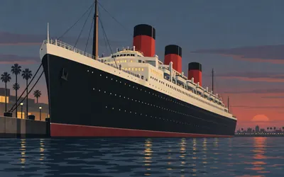
877 km (545 miles) · engineering
RMS Queen Mary
The last one
Built on the Clyde, launched in 1934, in service across the Atlantic from 1936, and tied up here since 1967.
- The register lists ten contemporaries she outlived, from the Mauretania to the Titanic.
- As a troopship she carried over 800,000 soldiers on 72 trips.
- Those crossings covered 569,000 miles.
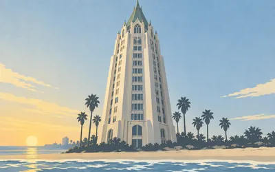
878 km (546 miles) · landmark
Villa Riviera
Home of the Admirals
Two hundred and seventy-seven feet of steep copper roof and gothic detail standing on the shoreline, built in 1928 and 1929 for something over two and a half million dollars as luxury flats, in a style the register files under Chateauesque and everybody else calls a French castle that got lost.
- It stands 277 feet tall and cost over $2.5 million to build in 1928 to 1929.
- It was the tallest building in Long Beach until the ARCO towers of the 1980s.
- The Navy housed officers here in the Second World War, hence Home of the Admirals.
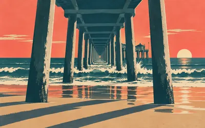
901 km (560 miles) · engineering
Huntington Beach Pier
The last experiment still standing
In 1914 there were about twenty-three piers on the southern California coast and only two of them were concrete, because nobody yet knew whether concrete would survive in surf.
- Of about 23 southern Californian piers in 1914, only two were concrete.
- It was 1,316 feet long on 208 pilings and was extended to 1,804 feet in 1930.
- The register calls it the last recreational concrete pier left from the experimental period.
Orange County, Camp Pendleton, north San Diego and Point Loma
920–1,053 km · 11 places
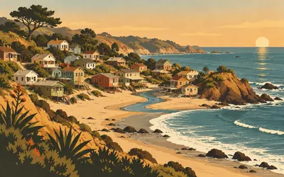
920 km (572 miles) · heritage
Crystal Cove
Architecture without architects
Forty-six timber cottages standing on twelve acres of sand and bluff between Los Trancos Creek and the sea, thrown up between the 1920s and the 1940s by people who wanted somewhere to stay in the summer and built it themselves.
- Forty-six cottages stand on a 12.3-acre district inside a 2,791-acre state park.
- The nomination records that there are no property lines within the district.
- Twenty-one cottages opened for public overnight stays in June 2006.
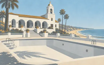
946 km (588 miles) · heritage
San Clemente Beach Club
A whole city as a park
Ole Hanson founded San Clemente in the 1920s with two rules: every building would be Spanish, and the whole city would be a park.
- Ole Hanson built it and gave it to the city on 27 May 1927.
- The register says the club was selected for the 1927 United States Olympic swimming trials.
- The pool was closed in the summer of 1977 because it leaked.
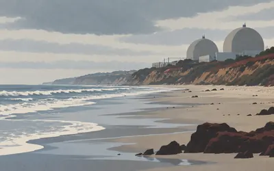
964 km (599 miles) · nature
San Onofre
Panhe, and the reactors
California State Parks says this plainly, so the card will too: this beach is the site of Panhe, an ancient sacred village and burial ground of the Acjachemen people going back more than eight thousand years, and many Acjachemen trace their lineage to it.
- State Parks records Panhe as an Acjachemen village and burial site over 8,000 years old.
- The nuclear station inside the park has been shut down since January 2012.
- The regulator projects decommissioning will be complete in 2051.
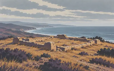
969 km (602 miles) · heritage
Las Flores
What kind of free town is that
A Luiseño village stood on this hill, then a mission ranch, and after secularisation the Mexican government made it an experimental Indian pueblo.
- A census on 1 March 1836 counted 196 people living in the pueblo.
- The communal herd, valued at $867, was divided among 33 families, widows and widowers.
- The 1993 nomination calls the 1841 grant of 89,742 acres to the Pico brothers a catastrophe.
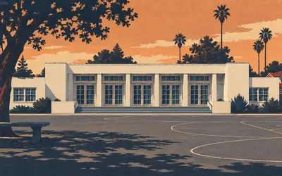
987 km (613 miles) · heritage
The Americanization School
What the register says, and what it does not
Irving Gill built this in 1931 for the children of Mexican farm workers, to teach them English.
- The register describes Americanization schools as a convenient place to segregate foreign pupils.
- It records movements to deport migrant workers to Mexico, whether citizens or not.
- The same nomination calls this particular school a delightful place.
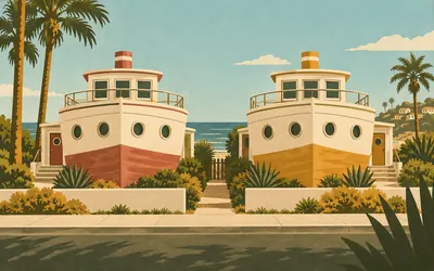
1,006 km (625 miles) · landmark
The Boathouses
Two houses shaped like ships, on dry land
Side by side on one small lot a few hundred yards from the sea stand two two-storey houses built to look like boats: hulls for ground floors, deckhouses on top, a row of portholes along each side.
- They were built on dry land in 1929 on a lot of 5,037 square feet.
- The register calls them the only surviving boat-shaped houses in San Diego County.
- The painted ship names appeared only some time after August 1980.
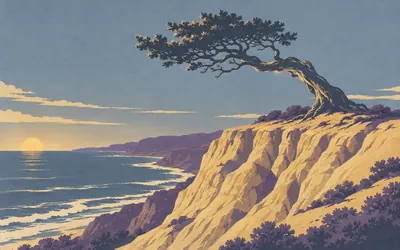
1,018 km (633 miles) · nature
Torrey Pines
A tree that grows in two places
Pinus torreyana grows wild here on these cliffs and on Santa Rosa Island off Santa Barbara, and nowhere else on earth.
- The Torrey pine grows wild only here and on Santa Rosa Island.
- San Diego set aside 369 acres of this headland on 10 August 1899.
- Only 16 of California's 280 state park units hold reserve status.
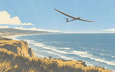
1,024 km (637 miles) · engineering
Torrey Pines Gliderport
A claimed record, and the register says claimed
A three-hundred-and-fifty-foot cliff standing square across the prevailing wind makes a wall of rising air, and from the late 1920s people came here to work out how to stay up in it.
- The cliff is 350 feet high and faces the prevailing wind.
- In 1938 it became the only legal site in the country for unlicensed aircraft in a civil airway.
- The register says Lindbergh's 1930 flight established a "claimed" distance record.
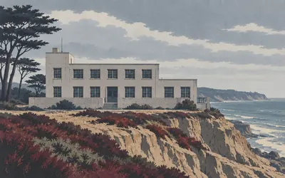
1,026 km (638 miles) · heritage
Old Scripps
A tent, a boathouse, and then this
Oceanography in California began in a tent at Pacific Grove in 1892, moved into a borrowed boathouse at a Coronado hotel in 1903, and got its first permanent building here in 1910: a plain reinforced-concrete box that the register calls unpretentious and means it kindly.
- The institution began in a tent laboratory at Pacific Grove in 1892.
- The register notes there were fewer than a hundred American oceanographers in 1950.
- It was Irving Gill's first large concrete building.
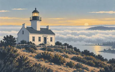
1,053 km (654 miles) · landmark
The Old Point Loma Lighthouse
Too high to be any use
They lit it on 15 November 1855, four hundred and twenty-two feet up on the highest ground on Point Loma, and it was one of the first eight lighthouses built on the Pacific coast, all eight by one firm under one contract.
- It was lit on 15 November 1855 and abandoned in 1891 because fog sat below it.
- Eleven principal keepers and twenty-two assistants served in just under 36 years.
- The National Park Service says the fate of its original Fresnel lens is still unknown.
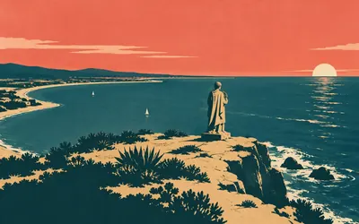
1,053 km (654 miles) · viewpoint
Cabrillo National Monument
A thousand and fifty kilometres, and the end of the land
The road runs out at the tip of Point Loma and so does California.
- Proclaimed in October 1913 at half an acre, the monument is now about 144 acres.
- Its own nomination says it is not known whether Cabrillo set foot inside it.
- The Park Service records the Kumeyaay's descendants on thirteen reservations in San Diego County.
Take on California Coastal Traverse and collect these places as you reach them
Common questions
How do my rides count towards San Diego?
Link Strava or Apple Health and your rides start eating into the coastline on their own, pushing you south from the Golden Gate Bridge. Distance is the only currency here: at 150 km a week you pass Big Sur and Malibu and reach San Diego in around seven weeks, with no uploads and no mileage to key in.
Do I have to be in California?
No. Highway 1 is a distance target here, so a wet commute in Glasgow counts for exactly as many kilometres as a dry one in California. The Pacific coast supplies the story and the 1,053 km supplies the challenge; where you ride, run or walk them is entirely up to you.
How far is the California coast route?
The Route Rally route covers about 1,053 km, or roughly 655 miles, San Francisco to San Diego along Highway 1 and 101. Real-world coastal routes vary with the roads you take.
How long does it take to cycle?
At a steady 150 km a week it works out at around seven weeks. Raise it to 250 km a week and San Diego arrives inside a month, while a relaxed 100 km a week stretches it past two months. The deadline is whatever you choose at setup.
Can I run or walk it virtually?
Yes. The same route works as a longer-term running or walking goal. Runners covering 40 km a week reach San Diego in around six months, and walkers often treat it as a year-long project. Every activity you sync counts.
How much climbing does the route involve?
Followed end to end the route gains close to 9,700 m of elevation across its rolling coastal miles. A virtual rally scores the distance and not that ascent, but the figure shows how much ground the coast covers.
Start your California Coastal Traverse Conquest
Joining is free. Connect Strava or Apple Health once and every ride, run or walk you record syncs automatically, moving you along the route without anything else to log.
Start your California Coastal Traverse Conquest, free to join