Conquer the Virtual Danube Cycle Path Challenge: Ride Passau to Budapest
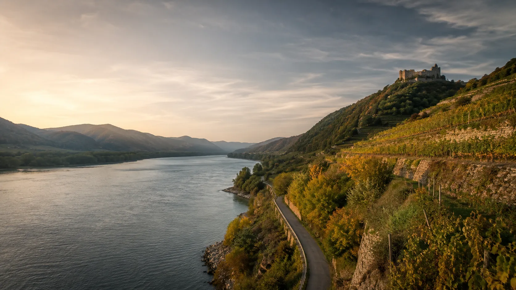
Ride Europe's most popular long-distance cycle route from home. The Danube Cycle Path follows the river downstream for about 650 km (roughly 404 miles) from Passau in Bavaria through Austria's Wachau valley and Vienna to Budapest, and Route Rally turns every synced ride, run or walk into progress along it. Flat, riverside and forgiving, it is the friendliest of the great European rides and a welcoming target for cyclists building regular mileage.
- Route: Danube Cycle Path
- Distance: 650.2 km
- Elevation gain: 1070 m
- Friendly riverside cycling goal
- Best for: Cyclists building regular mileage, indoor training blocks, and seasonal rallies of your own
Planning your challenge
A cyclist averaging 150 km/week finishes in about four weeks; a more relaxed 100 km/week stretches it to around six weeks, while runners may treat it as a longer-term target.
This is a Medium route by Route Rally distance bands, so it suits a focused cycling season without the multi-month commitment of an epic route.
Works well when you want an accessible, beginner-friendly cycling route with a clear river-and-capitals story.
Create your own rally for your own cycling target, solo or with a group sharing one leaderboard.
Why this route
- The Danube Cycle Path is Europe's most popular long-distance cycle route, following the river downstream from Bavaria through Austria to Hungary.
- The Route Rally route runs about 650 km (404 miles) from Passau through Linz, the Wachau valley and Vienna to Budapest.
- It is famously flat, riverside and beginner-friendly, which makes it an approachable cycling challenge rather than an intimidating climb-heavy one.
- As a virtual challenge you cover the distance in your own time, so indoor trainer miles and local rides all count towards Budapest.
- The accessible distance and the twin-capitals finish make it a great cycling-season goal for individuals, clubs and workplace teams.
Highlights
- Start at Passau in Bavaria, where three rivers meet
- Ride downstream through Linz and the vineyards of the Wachau valley
- Pass through Vienna, the grand capital on the Danube
- Finish in Budapest, the twin city straddling the river
Places along the route
Every place below is measured onto the route line, so the distance shown is where you actually reach it.
Places are researched from published sources. The distances are measured rather than estimated: we find the point on the route's own recorded line that lies nearest the place, and give the distance along the route to that point.
Passau and the Bavarian border
0–17 km · 3 places
0 km (0 miles) · landmark
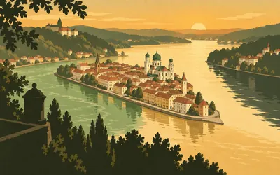
Passau
Kilometre zero, where three rivers meet
Four hundred kilometres of river start on a narrow spit of land in Lower Bavaria.
- The Inn, the Ilz and the Danube meet at Passau from three different directions.
- The Bavarian heritage register calls the spur between Inn and Danube topographically incomparable.
- Both the Inn and the Danube have been navigable here since records begin.
0 km (0 miles) · heritage
Veste Oberhaus
The bishops' fortress on the wedge
On the rock between the Danube and the Ilz, begun in 1219 by a prince-bishop who wanted somewhere his own townspeople could not reach. Extended through the fifteenth and sixteenth centuries, then rebuilt on Vauban lines between 1674 and 1723. It is a museum now, and the view down onto the confluence is the reason to climb it.
17 km (10 miles) · heritage
Schloss Obernzell
A bishop's castle at the water's edge
A white bishop's residence right on the water at the edge of the market town, the last stop on this bank before the border. Obernzell shipped graphite crucibles down this river for centuries, which is a very specific thing for one village to have been good at. A few kilometres further on, the bank stops being Bavarian and starts being Austrian, without much ceremony and without a barrier.
The upper Danube valley and the Mühlviertel
41–153 km · 10 places
41 km (26 miles) · nature
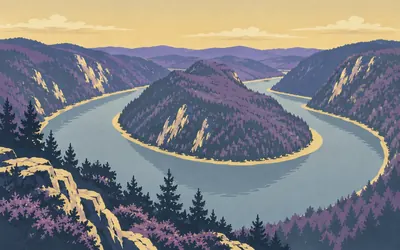
The Schlögen loop
The river turns round and comes back
The Danube runs into hard granite here and cannot get through it, so it swings almost a full half-circle and heads back the way it came before finding a way out.
- The Roman fort at Schlögen is a component of the Danube Limes world heritage site.
- No public authority publishes any superlative or ranking for the loop itself.
- The Gemeinde's own gazetteer lists four separate viewpoints over the bend.
59 km (37 miles) · landmark
Schloss Neuhaus
A white castle over a side river
Where the Große Mühl comes down out of the Mühlviertel and joins the Danube, a white castle sits on the bluff above the junction with a ruined chain tower a few hundred metres west of it. The valley is at its narrowest through here and the cycle path is squeezed between rock and water.
64 km (40 miles) · engineering
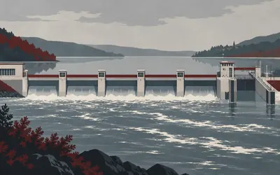
Kraftwerk Aschach
The dam that swallowed a village
Built between 1959 and 1964, the second of Austria's Danube power stations and still the one with the greatest head: the operator gives 14.9 metres, the municipality says 15.3, and both agree nothing else on the Austrian Danube lifts the water further.
- The operator gives the head as 14.9 m, the greatest of any Austrian Danube power station.
- The Marktgemeinde's own history gives 15.3 m and records that a whole settlement was flooded.
- The impoundment backs the river up for 41 kilometres.
81 km (50 miles) · engineering
Kraftwerk Ottensheim-Wilhering
Fourteen kilometres for the fish
Built 1970 to 1974, and the first Austrian Danube station to use horizontal bulb turbines rather than the vertical Kaplan machines used until then. Beside it runs a fish pass the operator describes as the largest in Europe, more than fourteen kilometres long, finished in 2016 under an EU project.
86 km (53 miles) · engineering
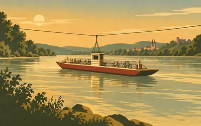
The Ottensheim ferry
No engine, no timetable, just the river
There is no motor on this ferry.
- The ferry is driven by the current alone and guided by one cable above the water.
- The licence was granted in December 1870 and the crossing opened on 2 July 1871.
- The operator calls it Austria's largest reaction ferry, with room for up to eighty people.
96 km (60 miles) · landmark
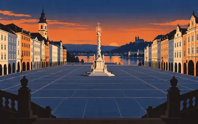
Linz Hauptplatz
A plague column and a glass cube
A very large rectangular square opens straight onto the riverbank, with a white marble plague column in the middle of it and pastel façades on all four sides.
- Two Linz sites are components of the Danube Limes world heritage inscription.
- The Romans called the settlement here Lentia.
- The Ars Electronica Center stands on the far bank, at the north end of the Nibelungenbrücke.
112 km (70 miles) · engineering
Kraftwerk Abwinden-Asten
One of nine on this stretch
A run-of-river station of 168 megawatts on the flat below Linz, one of a chain that has turned the Austrian Danube into a staircase of long still reaches. There are nine of them between the German border and the Slovak one. It is why the riding here is easy and why the current does not help you as much as it should.
125 km (78 miles) · heritage
Albing
A legionary fortress nobody finished
A second legionary fortress, six kilometres from the first, laid out on the flat and then given up. Nothing shows above ground; the whole thing is a plan in the soil, visible from the air. It is a world heritage component all the same, and the reason it was abandoned is not something the registers explain.
144 km (89 miles) · heritage
The Iron Age village, Mitterkirchen
Rebuilt out of the ground it came from
Timber and thatch houses standing on the Machland flats, reconstructed on the evidence of a burial ground dug out of these fields. The operator's own pages give no dates and no counts, so none are written here. What is there is a village you can walk into, which is more than most excavations offer.
153 km (95 miles) · heritage
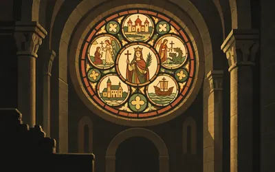
The Margaret Window, Ardagger
Coloured glass, eight hundred years old
Across the water and a few kilometres inland, a former collegiate church holds a round Romanesque window of coloured glass telling the story of Saint Margaret.
- The Margaret Window is called the most important Romanesque stained glass by the municipality that keeps it.
- The former abbey retains a late Romanesque church, a cloister and a columned crypt.
- Upper and Lower Austria face each other across the river along this stretch.
The Strudengau and the Nibelungengau
157–197 km · 6 places
157 km (98 miles) · heritage
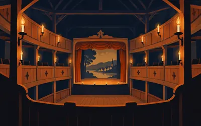
The Grein town theatre
A theatre in a grain loft
In the last years of the eighteenth century the citizens of Grein and their town magistrate converted the grain store of their sixteenth-century town hall into a theatre, and it has been in use ever since.
- The Bundesdenkmalamt calls it Austria's oldest continuously played civic theatre, founded 1790.
- The Marktgemeinde calls it Austria's oldest secular theatre in its original condition, founded 1791.
- It was built inside the grain loft of a sixteenth-century town hall.
164 km (102 miles) · heritage
Burgruine Werfenstein
A ruin over the narrows
A broken tower on a rock immediately above the water, at the upstream end of the Strudengau narrows. Whoever held this rock could see everything coming and everything leaving. Two separate registers place it to within four metres of each other, which says something about how precisely a rock can be surveyed.
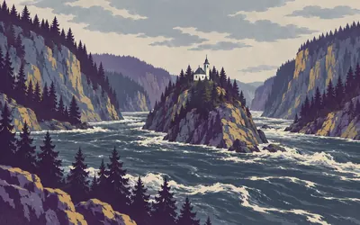
165 km (102 miles) · nature
The Strudengau
The stretch that used to kill boatmen
For most of its history this was the worst water on the upper Danube.
- The rapid was called the Strudel and the whirlpool below it the Wirbel.
- A chapel stands on the Hausstein rock in the middle of the narrows.
- The rock was blasted away in the nineteenth century and no readable authority source gives the dates.
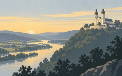
192 km (120 miles) · landmark
Maria Taferl
Two towers on a terrace, seen for miles
A twin-towered pilgrimage church stands on a shelf a hundred and sixty metres above the north bank, and it is visible from a long way up and down the valley.
- The parish dates the founding event to 14 January 1633 and names the cowherd Thomas Pachmann.
- The foundation stone was laid on 25 April 1660.
- The church was consecrated on 29 June 1724 by the Prince-Bishop of Passau.
197 km (122 miles) · heritage
Kokoschka's birth house
Where the painter started
Oskar Kokoschka was born in this house in the small river town of Pöchlarn. The association that runs it as a documentation centre was founded in 1973 under his own patronage and that of his wife Olda; the town bought the house in 1998 and reopened it in September 2002.
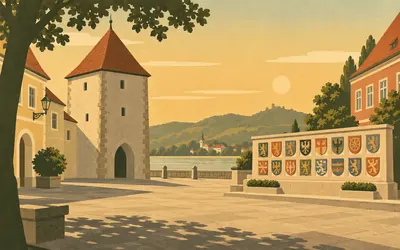
197 km (123 miles) · heritage
Pöchlarn, called Bechelaren
The friendly stop in a poem about slaughter
The Nibelungenlied is a story about a feud that ends with almost everybody dead, and this town is its four days of peace.
- Medieval Pöchlarn appears in the Nibelungenlied as Bechelaren, held by the margrave Rüdiger.
- Four components of the Roman fort Arelape here are inscribed as world heritage.
- The Nibelungen monument was erected in 1987 on a private initiative, not by the town.
The Wachau
208–246 km · 8 places
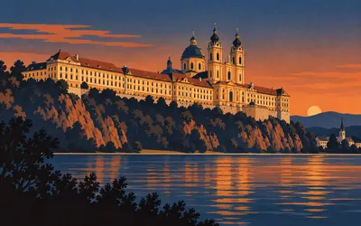
208 km (129 miles) · landmark
Stift Melk
Three hundred and sixty metres of yellow
The abbey sits along the top of a rock spur above the town and presents a continuous ochre front to the river, with the church domes in the middle of it.
- Benedictines have lived here continuously since 1089.
- The library holds about 100,000 volumes, 1,800 manuscripts and 750 incunabula.
- About 16,000 of them are displayed in the Great and Small Halls.
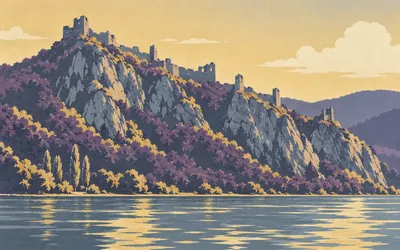
221 km (137 miles) · heritage
Burgruine Aggstein
A hundred and fifty metres of ruin along a crest
The ruin does not sit on the rock so much as run along it.
- The operator gives the ruin's length as about 150 metres.
- Its recorded history is traced back to the twelfth century.
- The robber-baron stories attached to it are tradition, not record.
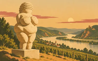
222 km (138 miles) · heritage
Where the Venus was found
Eleven centimetres, about 29,500 years old
On the loess slope above this village, on 7 August 1908, a workman named Johann Veran was carefully clearing a find horizon when he uncovered a small limestone figure of a woman, eleven centimetres high, carved with flint tools and once covered in red ochre.
- The figure was found on 7 August 1908 by a workman named Johann Veran.
- The museum gives her age as about 29,500 years and her height as 11 cm.
- She was carved from fine limestone with flint tools and coloured with red ochre.
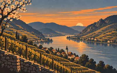
227 km (141 miles) · nature
The Wachau
Thirty-six kilometres of terraced rock
Between Melk and Krems the valley closes in and the hills come down to the water on both sides, terraced with dry-stone walls that have been holding vines and apricots on those slopes for a very long time.
- The Wachau was inscribed by UNESCO in 2000 under criteria two and four.
- The inscription covers the valley between Melk and Krems.
- It is listed as a cultural landscape, not for any individual monument.
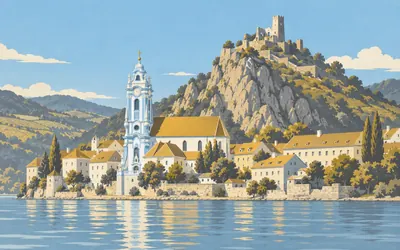
235 km (146 miles) · heritage
Dürnstein
A blue tower and a king's prison
Two things stand above this village and they are three hundred metres apart.
- The provincial register dates Richard I's captivity here to January to March 1193.
- His gaoler was Hadmar II of Kuenring.
- The Blondel minstrel story is listed by the same register explicitly as legend.
241 km (150 miles) · heritage
Kastell Favianis
The fort inside the town
Mautern sits directly opposite Krems on the south bank, and its street plan is still partly the plan of a Roman fort. Two UNESCO components cover it, west and east, and the federal register puts its own point for the fort within forty metres of theirs. The medieval town simply reused the walls.
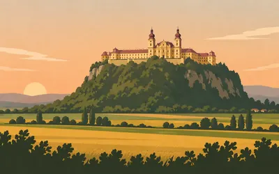
244 km (152 miles) · landmark
Stift Göttweig
An abbey on its own hill, twice over
Look south from the road here and there is a large yellow monastery on top of a wooded hill two and a half kilometres away, and it looks like it has always been that shape.
- Bishop Altmann of Passau founded Göttweig in 1083 and consecrated its church on 9 September.
- It followed the Augustinian Rule for eleven years before adopting the Benedictine Rule in 1094.
- A fire in 1718 forced the baroque rebuilding, designed by Johann Lucas von Hildebrandt from 1720.
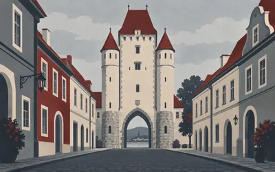
246 km (153 miles) · heritage
Krems an der Donau
First written down in 995
The Wachau ends and a real town begins, entered through a gate tower on a square.
- The city's own chronology dates its first documentary mention to 995.
- The same chronology dates Hollenburg, inside its boundaries, to 860.
- The Venus vom Galgenberg was found on the city's edge in 1988.
The Tullnerfeld and the approach to Vienna
272–311 km · 4 places
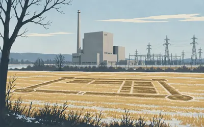
272 km (169 miles) · engineering
Zwentendorf
Two frontiers, one village
There is a Roman fort under the fields here, a vicus and its cemeteries, all of it inscribed as part of the Danube frontier.
- The referendum of 5 November 1978 went against the plant by 50.47 per cent to 49.53.
- It was Austria's first national referendum since 1945.
- Parliament passed a law banning nuclear power the following month; the reactor never ran.
287 km (179 miles) · heritage
Comagenis
A tower that outlasted its fort
The Romans put a cavalry fort called Comagenis on this bank, and one of its horseshoe towers is still standing on the embankment, later reused as a salt store. UNESCO and the Austrian monuments office publish points for the fort centre one metre apart, which is the tightest agreement on the whole river.
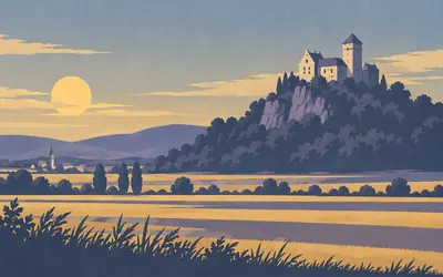
303 km (188 miles) · heritage
Burg Greifenstein
A castle that watched the road
The last rock before the Vienna basin opens out, with a castle on top of it.
- The castle's first documentary mention is 1135, for a treaty signed there.
- Its own history dates the building only as probably early eleventh century.
- It was captured in 1461, 1477 and 1529, and later used as a Passau prison.
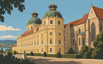
311 km (193 miles) · landmark
Stift Klosterneuburg
A crown on a dome, and one that was never built
Vienna starts, more or less, at this abbey.
- The foundation stone was laid on 12 June 1114 and the Augustinian Canons arrived in 1133.
- The Nazis closed the monastery from 1941 to 1945, the only break in that residence.
- A Roman fort component of the Danube Limes lies 60 metres from the abbey's registered point.
Vienna
324–378 km · 10 places
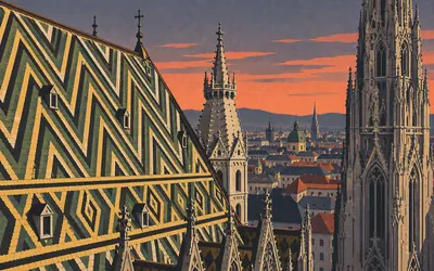
324 km (201 miles) · landmark
Vienna
World heritage, and on the danger list
Two thousand years of one city, from the Roman camp under the first district through the fortified residence town to the Ringstrasse, with a Gothic cathedral in the middle of it under a patterned tile roof.
- The historic centre was inscribed in 2001 and covers 371 hectares.
- It has been on the List of World Heritage in Danger since July 2017.
- UNESCO named the height of the Heumarkt project as the reason.
325 km (202 miles) · landmark
KunstHausWien
A bentwood factory with no straight lines left
Built in 1892 for the Thonet brothers, who made bentwood chairs, and rebuilt between 1989 and 1991 by Peter Pelikan to Hundertwasser's ideas: uneven floors, chequerboard walls, trees out of the windows. It opened on 9 April 1991 and holds what it calls the world's only permanent museum exhibition of his work.
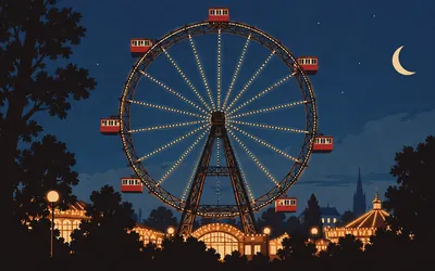
325 km (202 miles) · engineering
The Riesenrad
Turning since 1897
A big iron wheel at the entrance to the Prater, hung with red wooden cabins the size of a small tram, turning slowly enough that you can walk about inside one.
- The wheel has stood in the Prater since 1897.
- Its operator describes it as the world's oldest Ferris wheel.
- It was rebuilt after 1945 with half its original number of cabins.
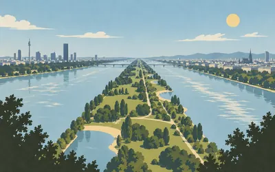
329 km (204 miles) · engineering
The Donauinsel
Twenty-one kilometres of spoil heap
Vienna dug a second river.
- The scheme moved 38 million cubic metres of material between 1972 and 1988.
- The island is 21.1 km long and up to 250 m wide.
- The parallel channel, the Neue Donau, exists to take flood water.
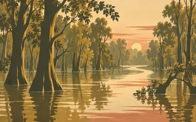
354 km (220 miles) · nature
Nationalpark Donau-Auen
Thirty-six kilometres of river left alone
Between Vienna and the Slovak border the Danube is allowed to behave like a river.
- The park was founded by state treaty on 27 October 1996.
- It covers more than 9,600 hectares along 38 kilometres of valley.
- About 36 kilometres of the Danube inside it are free-flowing, with no dam.
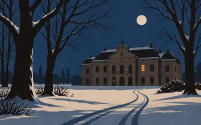
361 km (225 miles) · heritage
Schloss Eckartsau
Where the monarchy ran out
A hunting palace in the floodplain woods, and the last address in Austria of the last Habsburg emperor.
- Karl I signed his renunciation of participation in the Hungarian government here on 13 November 1918.
- George V sent a British officer to protect the family after the fate of the Russian imperial family.
- The family left for exile on 23 March 1919 after a farewell service in the castle chapel.
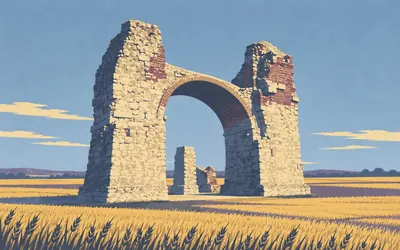
364 km (226 miles) · heritage
The Heidentor
Four piers in a field, and nobody will say why
Out in the arable land south of the river stands a lump of Roman masonry with two arches crossing at right angles and one pier missing, about fifteen metres high, with nothing else near it.
- The archaeological park publishes no descriptive or dating text for the Heidentor.
- Carnuntum covered about 10 square kilometres and held around 50,000 people.
- Its operator calls it the only city of that size and importance sitting directly on the frontier.
366 km (227 miles) · heritage
The Roman city quarter, Carnuntum
Rebuilt on its own foundations
A block of the civil town has been rebuilt full-size on its own excavated footings, with painted walls, a working hypocaust and roofs on. The town became a municipium under Hadrian around AD 124. There are two amphitheatres in this municipality, one for the military town and one for the civil, and the operator is clear that they are different buildings.
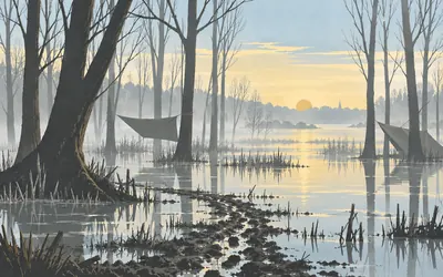
368 km (229 miles) · nature
Stopfenreuth
The wood that stopped a power station
In the winter of 1984 a power station was going to be built on this stretch, and the floodplain forest here would have gone under the reservoir.
- The occupation of the Stopfenreuth floodplain woods took place in December 1984.
- Police attempts to clear it failed and the government ordered a pause.
- The national park was founded on the same stretch of river in 1996.
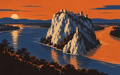
378 km (235 miles) · heritage
Hrad Devín
A ruin on a white crag at a confluence
Where the Morava comes down from the north and joins the Danube, a limestone crag stands out of the water with a ruined castle over it, two hundred and twelve metres above sea level and six hectares of ground inside its walls.
- The crag stands 212 metres above sea level and the castle grounds cover six hectares.
- French troops mined and destroyed the castle in 1809.
- Czechoslovakia bought it in 1932 for a symbolic 1,000 crowns.
Bratislava
392–408 km · 3 places
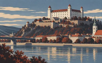
392 km (243 miles) · landmark
Bratislava Castle
An upturned table on a hill
A white rectangle with a tower at each corner, sitting on the last hill before the plain, and locally nicknamed the upturned table because that is exactly what it looks like.
- The historic core below the castle is a conservation reservation, number 9 in the register.
- The route passes through three capital cities: Vienna, Bratislava and Budapest.
- Devín Castle stands about 13 km upstream of the castle hill, at the far end of the city.
392 km (244 miles) · engineering
Most SNP
A flying saucer on one leg
A single-pylon cable-stayed bridge with a restaurant in a disc on top of the pylon, which is why everyone calls it the UFO. One tower on the Petržalka bank, one deck, no second pylon, and an observation platform up in the disc that you reach by lift inside the leg. It and the castle are in most of the same photographs.
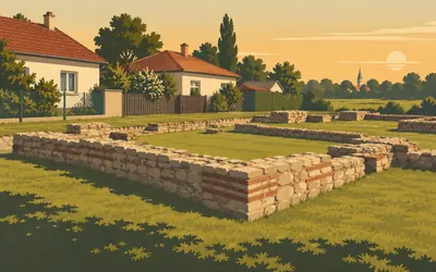
408 km (253 miles) · heritage
Antická Gerulata
A Roman fort in a Bratislava suburb
Between the bungalows of Rusovce, behind a low wall, are the foundations of a fort the Romans called Gerulata: the first in the chain of camps running from Carnuntum downstream to Brigetio, and the only archaeological site in Slovakia that stood inside the province of Pannonia.
- Gerulata is the only site in Slovakia lying within the former Roman province of Pannonia.
- It was founded by Cohors V Lucensium under Domitian, between AD 81 and 96.
- It is one of only two Slovak components of the Danube Limes world heritage site.
Hungary: the Szigetköz
448–582 km · 11 places
448 km (279 miles) · heritage
The square before the barracks
26 October 1956
Students called a demonstration here on 26 October 1956 and the townspeople, mostly factory workers, joined it. They walked to the border-guard barracks to try to bring the soldiers over. The soldiers opened fire. The Hungarian state's own record calls this one of the bloodiest events of the revolution and says the number of victims exceeded fifty. No authority gives an exact figure, so none is given here.
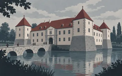
449 km (279 miles) · heritage
Mosonmagyaróvár
A castle that became an agricultural college
A moated castle on the Lajta, mid-thirteenth century at its core, rebuilt to its present four-square plan in the fifteenth and given its current face in the early nineteenth.
- The castle's core is mid-thirteenth century and its plan fifteenth.
- Duke Albert of Saxe-Teschen founded an agricultural academy in it in 1818.
- The town calls that the continent's first institution of agricultural higher education.
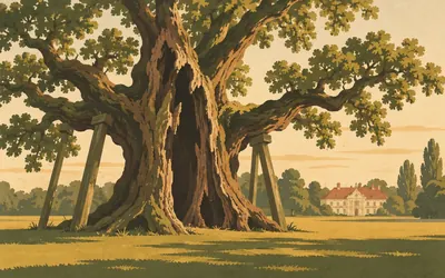
466 km (289 miles) · nature
Hédervár
An oak the village argues with itself about
A three-storey baroque house with corner towers stands in a park of very old trees, the result of building work that began in the middle of the seventeenth century and went on for decades.
- The village's first written mention is 1210 and the charter is held in Bratislava.
- The municipality repeats the Árpád legend and then puts the oak's real age at 700 to 800 years.
- The tree has been protected since 1942.
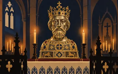
489 km (304 miles) · heritage
Káptalandomb, Győr
A silver head, carried since 1763
On the hill where the Rába meets the Mosoni-Duna stands the basilica, and inside it, in a Gothic side chapel, a gilded silver bust of a king.
- The herm was brought to Győr in 1607 by a bishop fleeing a rebellion.
- The city ranks it third after the Holy Right Hand and the Holy Crown.
- A votive procession has been held on 27 June every year since the 1763 earthquake.
489 km (304 miles) · heritage
The Rómer Flóris Museum
Loaded onto a train in 1945
The museum traces itself to 6 May 1859, when an imperial commission designated the Benedictine grammar school as the collecting point for local antiquities. At the end of the war its best pieces were put in a railway wagon that crossed the border on 30 March 1945. Sixty-five paintings came back in 1964. The coin collection has never been found.
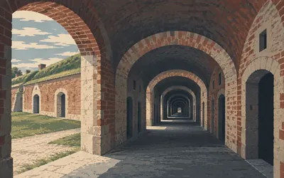
527 km (327 miles) · engineering
The Komárom forts
Three kilometres of casemate
Austria fortified this crossing on a scale that is hard to take in from the road, because almost all of it is underground or under grass.
- The Monostor Fort was built between 1850 and 1871 and holds three kilometres of casemates.
- The operator calls the Csillag fort unique in Central Europe for its fusion of history and art.
- The Soviet army used Monostor as its largest Central European ammunition depot from 1945 to 1990.
534 km (332 miles) · heritage
The fort at Iža
The far end of the world heritage site
Across the water in Slovakia, opposite Komárom, is the second and last Slovak component of the Danube frontier world heritage site, and the downstream end of the whole inscription. The line you have been following since Passau finishes here. Hungary's own Roman frontier is on a tentative list and has never been inscribed.
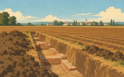
536 km (333 miles) · heritage
Brigetio
Where an emperor lost his temper and died
A legionary fortress and its town lie under the fields and the modern village here, and the protection zone alone runs for kilometres.
- Valentinian I died at Brigetio on 17 November 375 while receiving Quadic envoys.
- Excavators in 2017 and 2018 found an apsed building that may have been the reception room.
- The Hungarian Ripa Pannonica has been on UNESCO's tentative list since 2009 and is not inscribed.
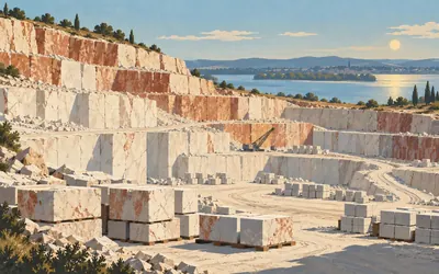
555 km (345 miles) · engineering
Süttő
The stone half of Budapest
A quarrying village on a hillside of white and red limestone that has been worked since Roman times, and the village is precise about what it is: locally called marble, actually a hard limestone, and popularly named after a different village altogether.
- The village states that its marble is really a hard limestone, quarried since Roman times.
- Süttő stone was used for the Parliament, the Royal Castle and the Fisherman's Bastion.
- Locally the red stone is popularly called Tardos marble, after a different village.
581 km (361 miles) · engineering
The Mária Valéria bridge
Down for fifty-seven years
Opened on 28 September 1895 and blown up by retreating German troops on 26 December 1944, and then left in the water. Two towns faced each other across the gap for fifty-seven years, in two countries, with the piers still standing. The rebuilt bridge reopened on 11 October 2001.

582 km (361 miles) · landmark
Esztergom basilica
A hundred metres, crypt to orb
It appears from a long way off and then refuses to get any closer for half an hour.
- The custodian gives the height as 100 metres from the crypt to the dome's orb.
- It was consecrated on 31 August 1856 in the presence of Emperor Franz Joseph.
- The Bakócz chapel was dismantled into 1,600 pieces in the 1820s and rebuilt inside it.
The Danube Bend and Budapest
607–650 km · 5 places
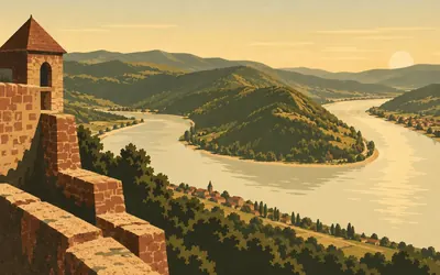
607 km (377 miles) · viewpoint
The Visegrád citadel
The river turns ninety degrees below you
The Danube has run east across the whole of northern Hungary and here it hits the Visegrád hills, turns hard south, and goes to Budapest.
- The Danube turns from east to south at Visegrád, which is what makes the Bend.
- A Roman camp is registered on the Sibrik hill beneath the medieval works.
- The Salamon tower is closed from 1 September 2026 with reopening expected in spring 2027.
622 km (387 miles) · heritage
The burgus at Leányfalu
Built in 373, seventeen metres square
A late Roman watchtower stands beside the road on the Szentendre bank, about seventeen metres square and two storeys when new. The municipality dates it to 373, under Valentinian I. Two years later the same emperor died in a reception room at Brigetio, a hundred kilometres upstream, which you passed this morning.

628 km (390 miles) · heritage
Szentendre
A Serbian town on a Roman camp
One cadastral parcel here carries two entries in Hungary's monument register at once: the Roman camp of Ulcisia, and a Serbian Orthodox church.
- One register parcel covers both the Roman camp of Ulcisia and a Serbian church.
- Monks from Srem arrived in 1690 carrying the relics of the Branković saints.
- The present church dates from 1752; the school built onto its north side returned to the Serbian Orthodox Church in 2010.
650 km (404 miles) · heritage
The Buda Castle quarter
The hill on your right at the finish
A limestone ridge above the west bank carrying a palace, a cathedral with a patterned roof, a white viewing terrace and a few streets of houses, all of it inside the world heritage boundary and all of it rebuilt after 1945. It is the last high ground on this route and it is on your right as you finish.
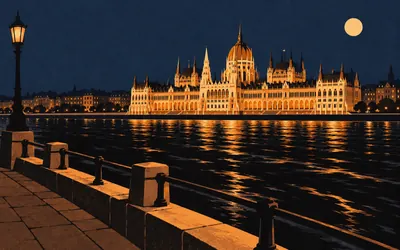
650 km (404 miles) · landmark
Bem rakpart, Budapest
Four hundred and four miles, and a view across
The route ends on the Buda embankment, on a quay under the castle hill, looking straight across at the Parliament.
- The route finishes on the Buda bank opposite the Parliament, not in Pest.
- UNESCO inscribed the Danube banks and Buda Castle quarter in 1987, extended in 2002.
- The measured route is 650,202 metres, 404.0 miles, through four countries.
Take on Danube Cycle Path and collect these places as you reach them
Common questions
How do my rides count towards Budapest?
It counts itself. Once Strava or Apple Health is connected, each ride, run or walk you record is added to your total and moves you downstream from Passau. Indoor trainer sessions count the same as road miles, which suits a winter block aimed at a summer river route: at 150 km a week Budapest arrives in about four weeks.
Do I have to ride in Germany, Austria or Hungary?
No. Passau to Budapest is a distance to cover rather than a path to find, so your commute, your club run and your turbo sessions all count. The real Danube route is famously flat; your own roads may not be, and Route Rally measures the distance you cover rather than the terrain you cover it on.
How long is the virtual Danube Cycle Path?
The Route Rally route covers about 650 km, or roughly 404 miles, tracing the Danube from Passau in Germany through Austria to Budapest in Hungary.
How long does it take to cycle?
At a steady 150 km a week it works out at around four weeks. Lift that to 250 km a week and it is done in under three weeks, while a relaxed 100 km a week stretches it to about six weeks. The finish date is fixed by you at setup, not by us.
Is this a good route for newer cyclists?
Yes. The real Danube path is flat and beginner-friendly, and as a virtual target the distance is achievable on regular weekly riding, including indoor trainer sessions, so it suits cyclists building consistency.
Can a club or workplace take it on together?
Definitely. Create one rally for your club, workplace or friends and every synced ride moves along the same river route towards Budapest.
Start your Danube Cycle Path Conquest
Joining is free. Connect Strava or Apple Health once and every ride, run or walk you record syncs automatically, moving you along the route without anything else to log.