Conquer the Virtual Shenandoah Skyline Trek Challenge
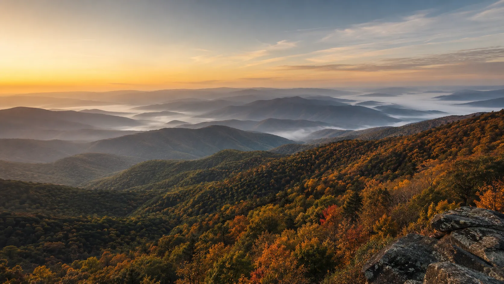
Walk the crest of the Blue Ridge from wherever you are. The Shenandoah Skyline Trek covers about 173 km (roughly 108 miles) the length of Shenandoah National Park, from Front Royal to Rockfish Gap, linking Appalachian Trail overlooks and Blue Ridge summits. Route Rally turns every synced walk, hike or run into progress along it, so you can take on this mountain traverse one day at a time.
- Route: Shenandoah Skyline Trek
- Distance: 173.1 km
- Elevation gain: 3465 m
- Steady mountain ridge trek
- Best for: Walking and hiking goals, rallies of your own, and seasonal targets
Planning your challenge
A walker averaging 30 km/week finishes in about six weeks; runners at 40 km/week in around a month, and a relaxed pace stretches it across a season.
This is a Medium route by Route Rally distance bands, so it works when you want a meaningful trek without committing to a year-long route.
Useful for hikers and walkers building a steady habit, and for groups wanting a shared seasonal goal.
Create your own rally for your own trek, solo or with a club, workplace or group of friends.
Why this route
- The Shenandoah Skyline Trek runs about 173 km (108 miles) along the Blue Ridge through Shenandoah National Park, from Front Royal to Rockfish Gap.
- As a virtual challenge you cover the distance in your own time, so daily walks, hikes and runs all count towards the ridge-line finish.
- Its medium length makes it a natural step up from a short route, while staying achievable in a season.
- It leans towards walkers and hikers, but runners can take it on as a focused monthly target.
- The mountain setting gives it a distinct identity among the longer road routes.
Highlights
- Start at Front Royal, the northern gateway to Shenandoah National Park
- Build distance along the Blue Ridge crest and Appalachian Trail overlooks
- Follow the line of Skyline Drive through the heart of the park
- Finish at Rockfish Gap on the southern edge of the park
Places along the route
Every place below is measured onto the route line, so the distance shown is where you actually reach it.
Places are researched from published sources. The distances are measured rather than estimated: we find the point on the route's own recorded line that lies nearest the place, and give the distance along the route to that point.
Front Royal and the north district
0–41 km · 5 places
0 km (0 miles) · heritage
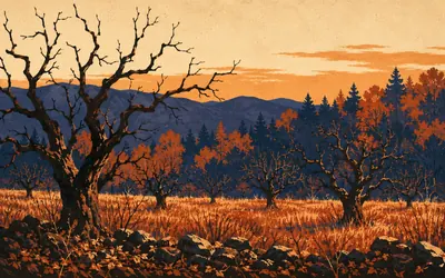
Front Royal
How the ground under this road was got
Skyline Drive starts here and runs about 105 miles down the crest of the Blue Ridge, the only public road through the park, posted at 35 miles an hour, with seventy-six overlooks along it.
10 km (6 miles) · heritage
Dickey Ridge
A visitor centre that started as a dance hall
The building at mile 4.6 was not built as a visitor centre. It opened in 1938 as a concession lodge run by the Virginia Sky-Line Company, with a dining room and a dance hall, and the Park Service did not take it over until 1958.
21 km (13 miles) · nature
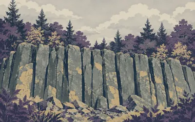
Compton Peak
A lava flow, twice over
Somewhere on this hill the rock that built the Blue Ridge shows its working.
- The outcrop is greenstone, which is metamorphosed basalt, and not raw columnar basalt.
- The National Park Service names Indian Run Overlook, not Compton Peak, as the best example of columnar jointing on the Drive.
- Compton Gap, where the Appalachian Trail crosses Skyline Drive, is at mile 10.4.
36 km (22 miles) · viewpoint
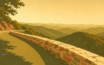
Hogback Overlook
The longest one on the road
The National Park Service calls this the longest overlook in the park, which sounds like a strange thing to be proud of until you are standing on it.
- The National Park Service calls Hogback the longest overlook in the park.
- Skyline Drive carries seventy-six overlooks along its length.
41 km (26 miles) · landmark
Elkwallow Gap
Almost as old as the park
A wayside at mile 24 that has been somewhere to stop for a very long time. The Park Service's own records have it as a picnic spot from 1935 and a built wayside from 1937, on about twenty-one acres, which makes it very nearly as old as the park it sits in.
Thornton Gap to Hawksbill
54–76 km · 6 places
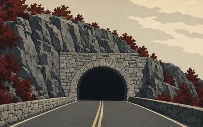
54 km (34 miles) · engineering
Marys Rock Tunnel
Twelve feet eight inches, and no length on record
Just south of Thornton Gap, where US 211 crosses the ridge, Skyline Drive stops going round the mountain and goes through it.
- The National Park Service gives the tunnel's height as twelve feet eight inches.
- It publishes no length, and the widely quoted 670 feet is in neither its pages nor the HAER survey.
- A survey caption puts Marys Rock, above the portal, at 3,514 feet.
59 km (37 miles) · viewpoint
Pinnacles Overlook
The one place Old Rag gets a look in
The Park Service puts this at mile 35.1 and 3,320 feet, and names what you are looking at: Hannah Run, Old Rag Mountain, Pinnacles Ridge and Hot Mountain. Old Rag is the one worth finding in the skyline, because you will not get closer from this road. It has no trailhead on Skyline Drive. Every route up it starts outside the park.
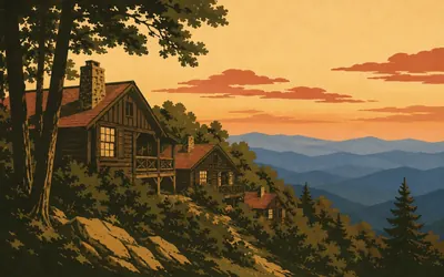
70 km (43 miles) · heritage
Skyland
Older than the park it sits in
Skyland was here first.
- The National Park Service gives 3,680 feet at Skyland's northern entrance as the highest point on Skyline Drive.
- Skyland predates the park, marketed from the 1890s by George Freeman Pollock.
- Stony Man above it is, per the Park Service, the second highest peak in the park, at a 4,011 foot summit.
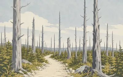
72 km (45 miles) · nature
Limberlost
She bought the trees, and they died anyway
The hemlocks here were bought in order to save them.
- Addie Nairn Pollock bought ground carrying roughly a hundred hemlocks here to save them from felling.
- The place is named after her favourite novel, A Girl of the Limberlost.
- The Park Service says the hemlock woolly adelgid cost Shenandoah about ninety per cent of its hemlocks.
74 km (46 miles) · viewpoint
Crescent Rock Overlook
The one that introduces Hawksbill
Mile 44.4, and 3,550 feet by the Park Service's reckoning. This is the overlook that introduces the next one: the Service uses its page here to point out Hawksbill Peak, the highest in Shenandoah at 4,050 feet, which you will be standing under in another two kilometres.
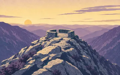
76 km (47 miles) · viewpoint
Hawksbill
Four thousand and fifty feet, and the park has nothing higher
Four thousand and fifty feet, and the Park Service says it on two separate pages: the summit of Hawksbill is the highest elevation in the entire park.
- The National Park Service gives Hawksbill's summit as 4,050 feet, the highest elevation in the park.
- The Service publishes Hawksbill Gap parking as mile 45.5 on one page and mile 45.6 on another.
- The upper route from mile 46.5 is a 2.1 mile round trip with about 520 feet of climb.
Big Meadows to Swift Run Gap
85–108 km · 5 places
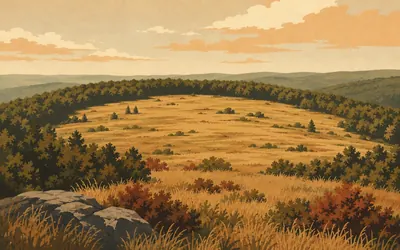
85 km (53 miles) · nature
Big Meadows
Kept open on purpose; here for reasons nobody settles
A wide open field along the crest of a wooded mountain range, which is not what the crest of a wooded mountain range normally looks like.
- The Park Service burns around 145 acres of the meadow for the stated purpose of maintaining the open vista.
- The Byrd Visitor Center's exhibits cover the controversial acquisition of privately owned land, the Civilian Conservation Corps, and desegregation in the 1930s and 40s.
- Rapidan Camp, President Hoover's retreat below the meadow, became a National Historic Landmark in 1988.
93 km (58 miles) · viewpoint
Bearfence Mountain
A scramble, and the whole horizon
A short scramble over rock rather than a walk, and the Park Service promises a 360-degree view at the top of it, which on a ridge this narrow it can genuinely deliver. It is a very small amount of effort for the entire horizon.

95 km (59 miles) · heritage
Lewis Mountain
The only place Black visitors were allowed to stay
When Shenandoah opened, its facilities were segregated, and Lewis Mountain was the part of the park set aside for Black visitors.
103 km (64 miles) · nature
South River Falls
Eighty-three feet, and no league table
An eighty-three foot waterfall, in the Park Service's own figure, reached by dropping off the ridge into the head of a steep hollow. No ranking goes with that number: the Service's comparative list of the park's waterfalls could not be read, and the sites that do rank this one contradict their own figures when they try.
108 km (67 miles) · landmark
Swift Run Gap
A tradition the Park Service never repeats
Where US 33 crosses the ridge, and one of the park's entrance stations. By tradition this is the gap Governor Spotswood and his Knights of the Golden Horseshoe came over in 1716, and tradition is all it is. The National Park Service makes no such statement anywhere on its own pages.
The south district
126–172 km · 10 places
126 km (78 miles) · viewpoint
Brown Mountain Overlook
Looking down on the park's biggest watershed
Mile 76.9 and 2,844 feet. The Park Service's description works from the left: the points of Trayfoot Mountain and Rockytop in the distance, and Big Run down in the valley below. Big Run is the largest watershed in the park, in the Service's own words, and from here you are looking straight into it.
130 km (81 miles) · landmark
Loft Mountain
Widely called the biggest; not by the Park Service
A campground, an amphitheatre, a camp store and a wayside, all at mile 79.5 and all shut from the end of October until May. The Frazier Discovery Trail starts at the north end of the wayside car park. Loft Mountain is widely called the park's largest campground. The Park Service's own pages do not say so.
133 km (83 miles) · nature
Doyles River Falls
Twenty-eight feet, then sixty-three
Two falls on one stream, and the Park Service prints both heights straight onto its trail map: Upper Doyles River Falls at twenty-eight feet, Lower at sixty-three. Reaching both and getting back is 3.3 miles with one stream crossing and 1,189 feet of climb, effectively all of it on the way home.
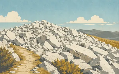
139 km (86 miles) · nature
Blackrock
A summit made of loose blocks
The summit is not a rock, it is a heap of them.
- The Park Service describes Blackrock as a boulder field where the layers and quartzite patterns are visible in the rock.
- The summit circuit is one mile with about 175 feet of climb.
- No authority publishes an age for the rock, and the figures quoted elsewhere disagree.
147 km (91 miles) · landmark
Riprap
Mind which Chimney Rock you look up
The Riprap circuit is 9.8 miles with 2,365 feet of climb, and the Park Service's route notes send you past Cavalry Rocks and Chimney Rocks. Note the plural, and note that the Service's own Chimney Rock page describes a completely different outcrop, in Catoctin Mountain Park in Maryland.
154 km (96 miles) · viewpoint
Turk Mountain Overlook
Named for a family who lived here first
Facing north-west, with the Shenandoah Valley opening out to the right of Turk Mountain. The Park Service adds one line about the name that is easy to read straight past: Turk Mountain takes its name from a family that lived in the area before the establishment of Shenandoah National Park. There are a great many names like that along this ridge.
158 km (98 miles) · engineering
Jarman Gap
Where the road stops being the road it started as
The last eight and a half miles of Skyline Drive were not built as Skyline Drive.
- The Drive from Jarman Gap to Rockfish Gap was built in 1938 and 1939 as part of the Blue Ridge Parkway.
- It was completed on 11 August 1939 at a cost of $358,636, about $40,000 a mile.
- It was not deeded to Shenandoah National Park until 1961.
163 km (101 miles) · viewpoint
Beagle Gap Overlook
Facing the other way at last
Facing east from 2,495 feet, out towards the Piedmont rather than back over the valley, which by this stage of the route is a change. The Park Service points out Calf Mountain from here, the long ridge coming down from the left into the middle of the view. Calf Mountain's own overlook, at mile 98.9 and 2,480 feet, looks the opposite way, straight out over Waynesboro.
167 km (104 miles) · viewpoint
McCormick Gap Overlook
Nobody knows where the name came from
The last overlook, at mile 102.4, looking down the southern end of the Shenandoah Valley with the Blue Ridge along one side of it and the Valley and Ridge Appalachians along the other. The Park Service uses the same page to admit something quietly: the origins of the name Shenandoah are unknown.

172 km (107 miles) · landmark
Rockfish Gap
Where one road becomes another
Skyline Drive ends where the Blue Ridge Parkway begins, and the two roads simply become each other.
- The Park Service publishes Skyline Drive as 105.5 miles on one page and 105 on another.
- Shenandoah holds 79,579 acres of congressionally designated wilderness, set aside in 1976 and nearly 40 per cent of the park.
- The Park Service puts the park's black bear population at the low to high hundreds.
Take on Shenandoah Skyline Trek and collect these places as you reach them
Common questions
How do my hikes count towards the Blue Ridge?
Your Strava or Apple Health feed is the whole input: whatever it records, from a dog walk to a long hike, moves you south along the ridge from Front Royal. Trail miles and pavement miles count identically, so a midweek stroll contributes as readily as a weekend hike, and at 30 km a week Rockfish Gap arrives in about six weeks.
Do I have to hike in Virginia?
No. The trek asks for its length rather than your presence in Virginia, so your nearest woods, canal path or treadmill will carry you the length of Shenandoah National Park. The park supplies the shape of the route and its overlooks; you supply about 173 km from wherever you happen to walk.
How far is the Shenandoah Skyline Trek?
The Route Rally route covers about 173 km, or roughly 108 miles, along Shenandoah National Park from Front Royal to Rockfish Gap, following the crest of the Blue Ridge.
How long does it take to walk?
At 30 km a week it works out at around six weeks, while 50 km a week brings the finish inside a month. Choose the end date when you create the rally and the pace follows.
Is this a good route for hikers?
Yes. It is built with walkers and hikers in mind, so daily walks, trail miles and weekend hikes all add up. The medium distance makes it a satisfying seasonal goal rather than a year-long commitment.
Start your Shenandoah Skyline Trek Conquest
Joining is free. Connect Strava or Apple Health once and every ride, run or walk you record syncs automatically, moving you along the route without anything else to log.