Virtual Cleveland Way Challenge
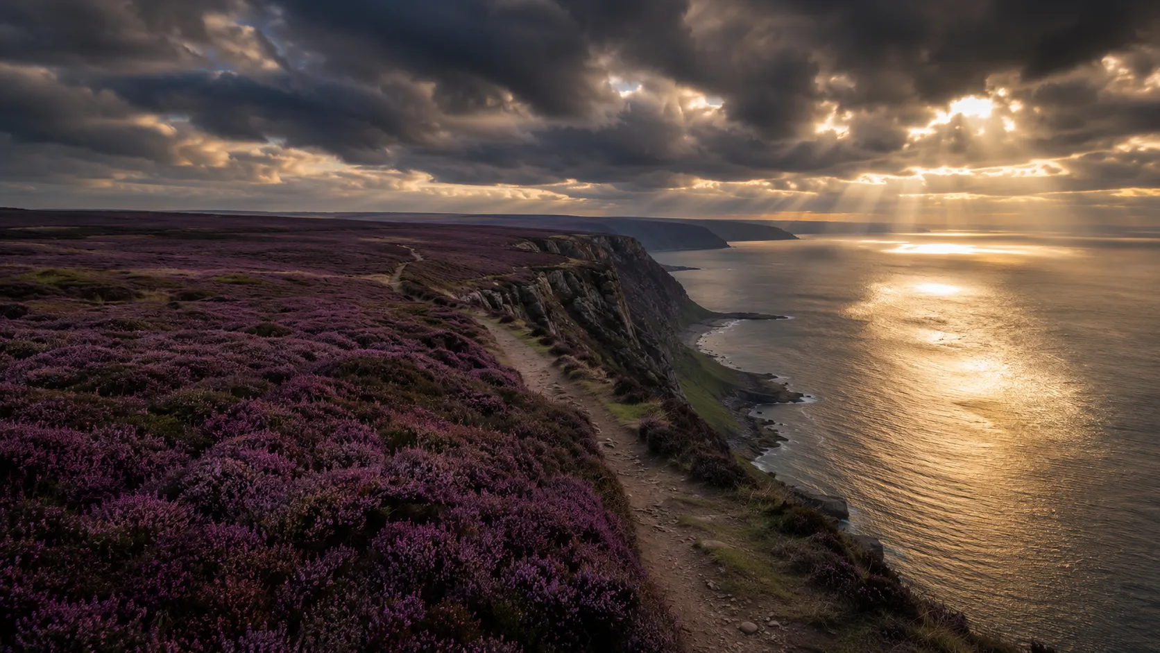
Combine moor and sea from your own training routes. The Cleveland Way runs roughly 168 km (about 104 miles) from the market town of Helmsley in the heart of the North York Moors south to Filey Brigg on the North Sea coast, crossing open moorland before swinging south along the clifftops. Route Rally turns every synced walk, run or ride into progress along this horseshoe-shaped trail.
Part of the National Trails series
- Route: Cleveland Way
- Distance: 167.7 km
- Elevation gain: 4500 m
- Moors and clifftop horseshoe
- Best for: Medium rallies of your own for walkers and runners, and focused four-to-eight week goals
Planning your challenge
A runner averaging 40 km/week finishes in around four weeks; a walker at 30 km/week takes about five to six weeks, and a cyclist at 150 km/week completes it in about a week.
This is a Medium route by Route Rally distance bands, a manageable goal for a focused month of consistent movement.
Works well for walkers and runners who want a route that combines two distinct landscapes in a single trail.
Create your own rally for your own Cleveland Way target, solo or with a group sharing one leaderboard.
Why this route
- The Cleveland Way covers about 168 km (104 miles) from Helmsley through the North York Moors and along the clifftops to Filey Brigg.
- As a virtual challenge you cover the distance in your own time, with walks, runs and rides from anywhere all counting towards the clifftop finish.
- The horseshoe shape means the route offers two completely different landscapes: open moorland in the west and dramatic sea-cliff scenery in the east.
- Its medium length makes it achievable in a focused month at a comfortable walking or running pace.
- The combination of moorland and coast gives it real variety and a strong visual identity even as a virtual target.
Highlights
- Start at Helmsley, a market town on the edge of the North York Moors
- Cross open moorland above Whitby, Roseberry Topping and the Hambleton Hills
- Reach the North Sea coast at Saltburn and follow the clifftops south
- Finish at Filey Brigg, a rocky headland on the Yorkshire coast
Places along the route
Every place below is measured onto the route line, so the distance shown is where you actually reach it.
Places are researched from published sources. The distances are measured rather than estimated: we find the point on the route's own recorded line that lies nearest the place, and give the distance along the route to that point.
Helmsley, Rievaulx and the Hambleton escarpment
0–17 km · 5 places
0 km (0 miles) · heritage
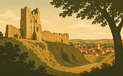
Helmsley Castle
The start of a horseshoe, not a line
The trail starts under a castle that English Heritage describes as in turn a formidable medieval fortress, an Elizabethan mansion, a besieged Civil War stronghold and a Georgian romantic ruin.
- English Heritage calls Helmsley in turn a formidable medieval fortress, an Elizabethan mansion, a besieged Civil War stronghold and a Georgian romantic ruin.
- National Trails gives the Cleveland Way as 109 miles and dates its opening to 24 May 1969.
- It was the second recognised National Trail in England and Wales.
5 km (3 miles) · heritage
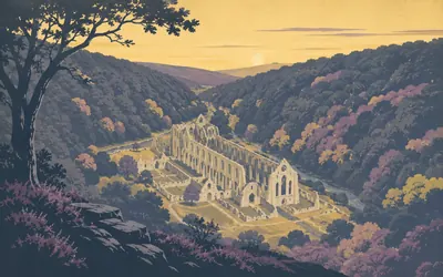
Rievaulx Abbey
A valley floor, and a terrace built to look at it
A Cistercian abbey founded in 1132, lying along the floor of a narrow wooded valley with the walls of its church still standing high.
- English Heritage dates the abbey's founding to 1132.
- The National Trust calls Rievaulx Terrace one of Yorkshire's finest eighteenth-century landscape gardens.
- Historic England's register entry records a painted ceiling and medieval abbey floor tiles in one of the terrace's two temples.
9 km (6 miles) · landmark
Cold Kirby
The last village before the ground goes
Historic England lists the parish church here and publishes very little else about the place. That is most of what Cold Kirby is: a single street on the limestone plateau between Helmsley and the escarpment, and the last village the trail passes before the ground drops away at Sutton Bank.
13 km (8 miles) · viewpoint
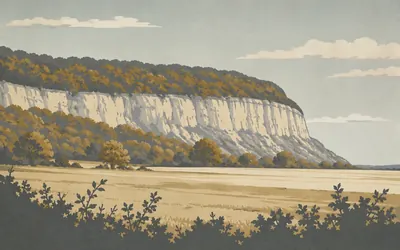
Sutton Bank and Roulston Scar
Where the Hambleton Hills stop dead
The escarpment ends here in a blunt headland and the Hambleton Hills simply stop.
- Historic England calls Roulston Scar the largest of a series of promontory forts in the Hambleton Hills.
- The Kilburn White Horse below the scarp carries no listing or scheduling of any kind.
- A cliff, a steep slope and a gill form three sides of the fort, and an earthwork closes the fourth.
17 km (11 miles) · nature
Gormire Lake
No stream in, no stream out
A lake with nothing flowing into it and nothing flowing out. Natural England reads it as a glacial overflow channel dammed by a landslip, with the raw face of Whitestone Cliff above and tufted loosestrife in the wet ground at its edge. The Yorkshire Wildlife Trust records John Wesley writing about a rock fall here in 1775, and quarrying on the cliff until about 1840.
Osmotherley and the Cleveland Hills
34–77 km · 8 places
34 km (21 miles) · heritage
Osmotherley
A church in layers, and something older inside it
Historic England lists St Peter's at Grade II star and dates it in layers: a twelfth-century south door, a fourteenth-century chancel, a fifteenth-century tower, and a virtual rebuild in 1892 by C Hodgson Fowler. Older than any of it, kept indoors, are the remains of an Anglo-Danish cross-shaft carved with interlace and part of a hogback tombstone.
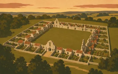
36 km (22 miles) · heritage
Mount Grace Priory
Built for monks who lived alone
Carthusian monks lived alone, and this is the place in England where you can still see how.
- Historic England calls Mount Grace by far the best preserved Carthusian monastery in the country.
- English Heritage says it is the only publicly accessible Carthusian monastery in England.
- It was founded in 1398 under licence to Thomas de Holand, Duke of Surrey.
38 km (24 miles) · heritage
Scarth Wood Moor
Two mounds, read as a boundary
Two round barrows sit on the moor here. Historic England says the southern one has an unusually well preserved bank and ditch, gives its mound as 13 metres across and 0.75 metres high, and reads it together with its neighbours as a territorial marker rather than a grave standing on its own. The National Trust keeps the bracken off them.
58 km (36 miles) · heritage
Jenny Bradley
A metre of stone on an empty moor
A shaft about a metre high on open moor, scheduled in 1995. Historic England records it as a wayside cross known as Jenny Bradley, standing beside the old packhorse way running from Baysdale Abbey south to Ryedale, and notes that the present Cleveland Way runs parallel to that route. You are walking a line that was worn in long before it had a name.
67 km (41 miles) · heritage
Kildale
Not quite the saint everyone names
Everyone calls it St Cuthbert's. Historic England's statutory list calls it the Church of Saints Gregory and Cuthbert, which is the dedication that actually stands. It was rebuilt on the site of an earlier church in 1868 by Fowler Jones of York, and keeps four medieval grave covers, two of them carved with raised crosses ending in fleur-de-lis.
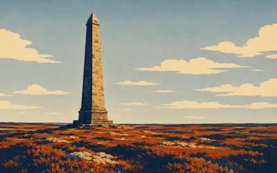
69 km (43 miles) · landmark
Captain Cook's Monument
Fifty feet of sandstone, and no transcript
A sandstone column about fifty feet high standing alone on Easby Moor, visible for miles.
- Historic England dates the monument to 1827 from the plaque on its west face, and records a restoration in 1895.
- It was erected by Robert Campion of Whitby.
- The listing describes the plaque but does not transcribe its inscription.
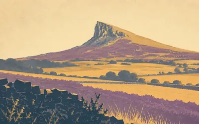
72 km (45 miles) · viewpoint
Roseberry Topping
The famous profile is the shape of an accident
The half-cone on the skyline is the shape of something going wrong.
- The National Trust records a landslip in 1912 that changed the hill's western profile, and blames the ironstone mine for it.
- The National Trust gives the summit as 1,050 feet, or 320 metres.
- Natural England's citation records a Middle Jurassic plant bed here yielding some seventy fossil species.
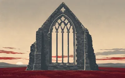
77 km (48 miles) · heritage
Guisborough Priory
One wall left, and Historic England is warm about it
One wall.
- Historic England calls the surviving east end one of the finest examples of early Gothic architecture in existence.
- It records the priory as one of the first twenty houses of canons regular founded in England.
- The statutory record spells the priory Gisborough; the town is Guisborough.
The Cleveland coast
88–113 km · 6 places
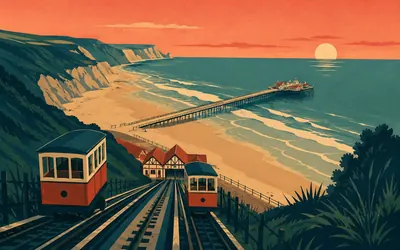
88 km (55 miles) · engineering
Saltburn Pier
Getting shorter since 1875
Historic England calls this the first seaside pier in the north east of England, built between 1867 and 1869 by John Anderson for the Saltburn-by-the-Sea Pier Company: cast-iron uprights, wrought-iron ties, a timber deck.
- Historic England calls Saltburn Pier the first seaside pier in the north east of England.
- Storms cut it from 457 metres to 381 in 1875, and the listing now reports about 207 metres.
- The cliff tramway of 1884 is, per Historic England, the third built in Britain and the earliest to survive.
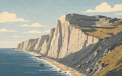
98 km (61 miles) · heritage
Boulby
The highest cliff on the coast, with its top quarried off
The North York Moors National Park Authority puts the highest point on the east coast of England here at Boulby, and gives the cliffs as 203 metres.
- The North York Moors National Park Authority gives Boulby's cliffs as 203 metres, the highest point on the east coast of England.
- Historic England calls the alum industry the first chemical industry in Britain.
- About fifty alum sites are known in England, most of them along the Cleveland and Yorkshire coast.
101 km (63 miles) · landmark
Staithes
The wrong Cook
Staithes sells itself on Captain Cook, and the statutory record does not back it up. The one listed building here whose name has ever mentioned a Cook is 18 Church Street, which Historic England describes as a house of the late eighteenth or early nineteenth century, formerly listed as premises occupied by T. Cook. Not James.
105 km (65 miles) · nature
Runswick Bay
Two reservoirs that fed a blast furnace
Natural England notified Runswick Bay as a geological site in 1984, ten hectares of it. The National Trust's field above the village holds two reservoirs, dug in the mid-nineteenth century to feed the blast furnace of an ironworks whose remains lie at the foot of the slumped cliffs. They are wildlife ponds now, and the deeper one breeds all three native newts, the great crested included.
109 km (68 miles) · heritage
Kettleness Alum Works
The headland was taken apart for its shale
Another scheduled alum works, the second on this coast. Historic England's designation text explains why they keep coming: alum could only be got out of certain shales, the shale is in these cliffs, and about fifty sites are known in England with most of them along here. The headland you are crossing was dismantled to reach it.
113 km (70 miles) · heritage
Sandsend Alum Works
Three quarries, opened one after another
Historic England's scheduling here is a map of how the industry moved. Three separate quarries run a kilometre north along the coast: Gaytrees, nearest the village, working from 1733; then Ness End; then Deep Grove, each one opened as the last was worked out. The alum house that processed what came out of them is scheduled separately, a little to the south.
Whitby to Filey
120–166 km · 8 places
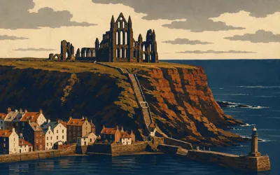
120 km (74 miles) · heritage
Whitby Abbey
A headland with two events on it
You arrive up 199 steps, and Historic England lists those too: first mentioned in 1370, the present stone probably eighteenth and nineteenth century, replacing something older.
- English Heritage calls the Synod of Whitby of 664 a landmark in the history of the Church in England.
- English Heritage names Caedmon, who lived here under the abbess Hild, the first named poet in the English language.
- Historic England's listing for the church stairs records 199 steps, first mentioned in 1370.
123 km (76 miles) · engineering
Whitby High Light
One survivor of a matched pair
Trinity House built this in 1858 on Ling Hill, to James Walker's design, as a pair of towers aligned north and south showing fixed lights over Whitby Rock. In 1890 a better light went into the smaller tower and the other was shut down. It was automated in 1992. What you walk past is half of what was built.
130 km (81 miles) · landmark
Robin Hood's Bay
One road in, and the rest is roofs
A village poured down a ravine to the sea, the houses standing on one another's roofs, one road in. The trail comes over the top and drops straight through it. Historic England's listings here are modest, the Museum and Reading Room among them. The smuggling the place trades on is tradition rather than record, and no authority tells it.
141 km (88 miles) · nature
Hayburn Wyke
A beck that finishes on the beach
The Hayburn Beck falls straight onto the beach here, and in cutting its channel it has opened up what Natural England calls, without question, an outstanding fossil plant locality. The Yorkshire Wildlife Trust manages most of the site as a nature reserve. The trail drops a long way into the wyke and climbs all of it again on the far side.
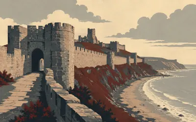
152 km (94 miles) · heritage
Scarborough Castle
Three thousand years, and one morning in December
Historic England's scheduling reads like a list of everything that has ever happened on a headland: Iron Age settlement, Roman signal station, Anglo-Scandinavian settlement and chapel, twelfth-century enclosure castle, eighteenth-century battery.
- English Heritage says the headland has been occupied and fortified for nearly 3,000 years.
- The Roman signal station was one of a chain along the north-east coast, abandoned early in the fifth century.
- English Heritage records the raid of 16 December 1914 as the first time civilians were targeted on English soil in the First World War.
154 km (95 miles) · heritage
Scarborough Spa
A mineral spring, then Paxton
Historic England traces the Spa to the eighteenth century, when a mineral spring here became a place of fashionable resort with nothing but a timber terrace along the shore. Joseph Paxton designed the ashlar-faced pavilion that replaced it in 1858. Scarborough is often called Britain's first seaside resort. No authority that looks after the place says so.
156 km (97 miles) · nature
Cayton Bay
One long cut through the Jurassic
Natural England reads the three bays south of Scarborough as a single section: a superb composite cut through rocks of Middle to early Upper Jurassic age, with exposures it rates of very high national and international importance for stratigraphy, palaeontology and sedimentology. You spend the afternoon walking along the top of it.
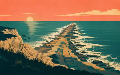
166 km (103 miles) · nature
Filey Brigg
Where the horseshoe closes
The trail ends on a finger of rock pointing out into the North Sea.
- Natural England calls Filey Brigg a key Corallian site with the most extensive exposures through the Lower Calcareous Grit, the Hambleton Oolite and Middle Calcareous Grit.
- Its shoreline holds purple sandpiper in nationally significant numbers through the winter.
- Historic England schedules a Roman signal station on Carr Naze, at the neck of the promontory.
Take on Cleveland Way and collect these places as you reach them
Common questions
How do my walks count towards the moors and the coast?
You log nothing twice. A walk, a run or a ride arrives from your tracker and carries you round the horseshoe from Helmsley. A runner at 40 km a week finishes in about four weeks, and a walker at 30 km a week in five to six.
Do I have to be in North Yorkshire?
No. What you are covering is the trail's length, not its ground, so your local paths and pavements will get you across it. The real trail changes character halfway, from open moorland to sea cliffs; on your own routes that change of scene is up to you, but the 168 km is the same.
How long does it take?
At 30 km a week it takes around five to six weeks. Runners at 40 km a week finish in about four weeks, and at 50 km a week you can complete it in under a month. You decide the finishing date as you set the rally up.
Does the Cleveland Way end at the same place as the Yorkshire Wolds Way?
Both finish near Filey on the Yorkshire coast, which is a popular meeting point for walkers who want to link the two trails. As virtual challenges they are separate routes with separate leaderboards.
Start your Cleveland Way Conquest
Connect Strava or Apple Health once and every ride, run or walk you record syncs automatically, moving you along the route without anything else to log.