Conquer the Virtual Pan-American Highway Challenge
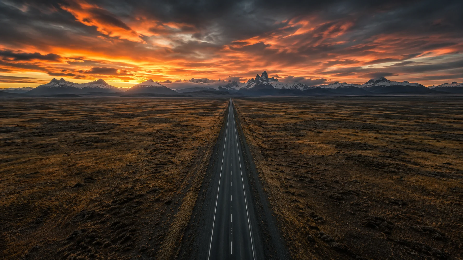
Turn the legendary journey from Alaska to Argentina into an epic virtual route target. Every synced activity moves your progress across the Americas.
- Route: Pan-American Odyssey
- Distance: 23295.3 km
- Elevation gain: 208736 m
- Epic continental expedition
- Best for: Multi-year rallies of your own, club and team challenges, and ultra-long consistency goals
Planning your challenge
A cyclist averaging 250 km/week would need about 94 weeks; runners and walkers should treat it as a multi-year expedition goal.
This is an Epic route by Route Rally distance bands, so it works best when the point is long-term commitment rather than a quick finish.
Useful when you want a flagship route that can sustain progress tracking, milestones, and leaderboard movement for years.
Create your own rally for a long-haul target, solo or with a group sharing one leaderboard.
Why this route
- The Pan-American Highway is one of the world's iconic road journeys, stretching from Alaska towards the southern tip of Argentina.
- As a virtual challenge, its huge scale turns everyday activity into a long-running expedition across countries, climates, and continents.
- The distance makes it ideal for epic route goals where progress, consistency, and milestones matter more than a fast finish.
Highlights
- Start on the Arctic coast at Prudhoe Bay and climb south through Atigun Pass
- Cross the Yukon and the Canadian Rockies past Jasper, the Columbia Icefield and Lake Louise
- Ride the American plains and Texas, by Little Bighorn and the Alamo
- Ride the volcano country below Pico de Orizaba, then the Miraflores Locks and Casco Antiguo in Panama
- Follow the Andes through Quito and Lima to the Lines and Geoglyphs of Nasca
- Cross to Aconcagua and on through Buenos Aires to the Patagonian south
- Finish at Ushuaia, Argentina, near the southern edge of the continent
Places along the route
Every place below is measured onto the route line, so the distance shown is where you actually reach it.
Places are researched from published sources. The distances are measured rather than estimated: we find the point on the route's own recorded line that lies nearest the place, and give the distance along the route to that point.
Alaska: the Dalton Highway
236–585 km · 4 places
236 km (147 miles) · nature
Galbraith Lake
What a bigger lake left behind
The lake beside the airstrip is a leftover. The Bureau of Land Management calls it a remnant of a large glacial lake that once occupied the entire Atigun valley, and what is left of it sits in a bowl of gravel with a campground open, roughly, from May to September. The Bureau claims nothing else for it. Nothing up here is sheltered, which is the whole point of the view.
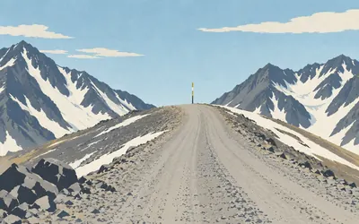
280 km (174 miles) · viewpoint
Atigun Pass
Where the water changes its mind
Two hundred and eighty kilometres from the Arctic Ocean the gravel climbs to the Continental Divide and the water changes its mind.
- The Bureau of Land Management gives Atigun Pass as 4,739 ft, or 1,422 m, on the Continental Divide.
- Rivers south of the pass flow to the Pacific or Bering Sea; rivers north of it flow to the Arctic Ocean.
- Alaska's transport department calls it the highest pass in Alaska and publishes a different height, 4,800 feet.
514 km (319 miles) · viewpoint
Finger Mountain
Expect strong winds on this high ridge
A granite tor stands on a bald ridge above the tundra. The Bureau of Land Management offers panoramic views, alpine tundra and a half-mile interpretive trail, and then adds the sentence that actually matters: expect strong winds on this high ridge. That is not advice about the walk. It is a description of the ridge, and of most of the road either side of it.
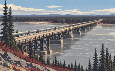
585 km (363 miles) · engineering
The Yukon River crossing
The only highway bridge over the Yukon
Five hundred and eighty-four kilometres in, the gravel meets the Yukon and crosses it on the only highway bridge in the state that does.
- Alaska's transport department calls the Dalton the only highway in Alaska that crosses the Yukon River.
- It also calls it the only road in the United States to cross the Yukon, the Arctic Circle and the Brooks Range.
- Neither the state nor the Bureau of Land Management publishes the bridge's length on any page reached.
Yukon, British Columbia and Alberta
1,578–3,999 km · 8 places
1,578 km (981 miles) · heritage
Da Kų Cultural Centre, Haines Junction
In the Nations' own words
The Champagne and Aishihik First Nations describe Da Kų in their own words: a teaching, curatorial and interpretive facility, providing programming directed to our Citizens as well as the general public, celebrating the culture and traditions of the CAFN Dän. Haines Junction stands at the edge of Kluane National Park and Reserve. The Nations claim no first and no largest, and none is claimed for them here.
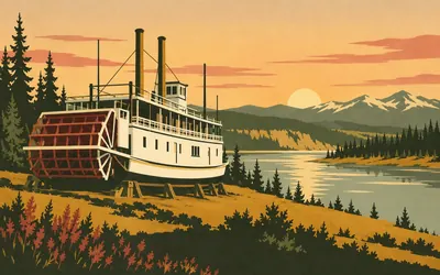
1,731 km (1,075 miles) · heritage
S.S. Klondike, Whitehorse
The largest, on the Canadian part of the river
She sits on the bank at Whitehorse with her paddlewheel dry, and Parks Canada's designation gives her record with the scope built in: the largest vessel ever to ply the Canadian portion of the Yukon River.
- Parks Canada calls the S.S. Klondike the largest vessel ever to ply the Canadian portion of the Yukon River.
- Her retirement in 1955 brought the era of commercial steamboat navigation in the Yukon to an end.
- She is a National Historic Site of Canada and stands on the riverbank at Whitehorse.
2,380 km (1,479 miles) · heritage
Tahltan Territory, at Dease Lake
Eleven per cent of British Columbia
You have been inside Tahltan Territory for some hours. The Tahltan Central Government states its extent itself: 95,933 square kilometres, the equivalent of eleven per cent of British Columbia. It also states who lives there, which registers rarely bother to do. Tahltans currently make up over half of the residents, dispersed between three main communities, Telegraph Creek, Dease Lake and Iskut.
2,896 km (1,800 miles) · engineering
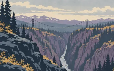
Hagwilget Bridge
Highest in Canada, in 1932, and the register says was
A single suspended span crosses the Bulkley here, a hundred and forty metres long and eighty metres above the water.
- The Canadian Register of Historic Places gives the main span as 140 metres long and 4.9 metres wide.
- It stands 80 metres above the Bulkley River.
- The register calls it the highest suspension bridge in Canada when it opened in 1932, and says nothing about now.
3,449 km (2,143 miles) · nature
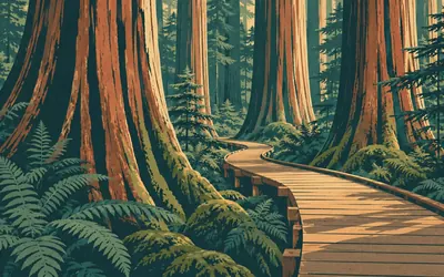
Ancient Forest / Chun T'oh Whudujut
Rainforest on the wrong side of the mountains
Rainforest, on the wrong side of the mountains.
- BC Parks describes western redcedar here up to 5 metres in diameter and, in its own hedge, perhaps 2000 years old.
- It calls the place, verbatim, one of the only inland temperate rainforest in the world.
- BC Parks records the park as lying within Lheidli T'enneh traditional territory.
3,716 km (2,309 miles) · nature
Jasper National Park
Two rankings, and both of them are scoped
Parks Canada sells Jasper with two rankings and scopes them both. The world's second largest dark sky preserve, in the largest national park in the Canadian Rockies. Not the largest national park in Canada, which is a different park altogether, and not the largest dark sky preserve anywhere. The park is part of the Canadian Rocky Mountain Parks World Heritage Site.
3,818 km (2,372 miles) · nature
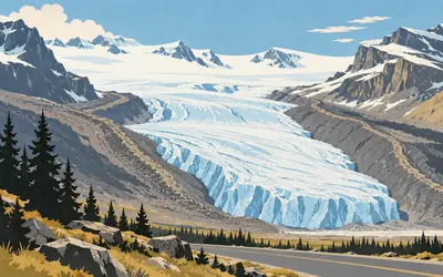
Columbia Icefield and the Athabasca Glacier
Arguably, says Parks Canada, and it stays
More than three hundred square kilometres of ice sit above the road and one tongue of it comes down almost to the verge.
- Parks Canada gives the Columbia Icefield as more than 300 km2 of ice.
- It calls the Athabasca Glacier Canada's most accessible glacier and Jasper's best known.
- When it widens that to the continent it hedges: arguably North America's most accessible glacier.
3,999 km (2,485 miles) · heritage
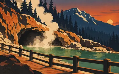
Cave and Basin, Banff
Where three railway workers found a hot spring
Three railway workers found a hot spring in a cave, and the argument over who owned it produced a country's park system.
- Parks Canada's designation calls Cave and Basin the birthplace of Canada's national parks.
- It names the finders: Frank McCabe and the brothers Tom and William McCardell.
- Parks Canada calls Banff Canada's first national park and the flagship of the nation's park system.
Montana, Wyoming, Colorado and the Texas panhandle
4,347–7,198 km · 9 places
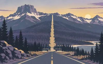
4,347 km (2,701 miles) · nature
Glacier National Park, at Chief Mountain
Into the United States and into a park at once
You cross into the United States at Chief Mountain and into a national park at the same moment, because the park's northern boundary is the border.
- The Park Service dates evidence of human use in this area to over 10,000 years.
- President Taft signed the bill establishing Glacier as the country's 10th national park in 1910.
- This route enters at Chief Mountain: the St Mary entrance is 10.79 km off the line and Waterton Lakes 8.08 km.
4,643 km (2,885 miles) · nature
Giant Springs, Great Falls
The largest Spring I ever Saw, wrote Clark
Clark wrote it down in 1805, spelling left as he made it: the largest fountain or Spring I ever Saw, and doubt if it is not the largest in America Known. Lewis said it may well be retained on the list of prodegies of this neighbourhood. Two centuries on the Park Service is cooler and calls the spring one of the largest freshwater springs in the country.
5,287 km (3,285 miles) · heritage
T A Ranch Historic District
The only one of its battle sites still standing
Cattle barons hired gunmen, small ranchers besieged them in a barn, and the cavalry arrived before anybody finished. Wyoming's historic preservation office calls the TA Ranch the site of the famous Johnson County War of 1892, and gives it a carefully scoped record: the only remaining Johnson County War battle site which retains its associated buildings and structures.
5,726 km (3,558 miles) · heritage
Fort D. A. Russell
None of the originals, most of the later ones
A National Historic Landmark inside a working air force base. Wyoming's historic preservation office dates the post to 1867, built as a supply depot and to protect transcontinental railroad construction crews, and is unusually honest about what survives: none of the original structures are extant, but most of the 1885 and later red brick barracks, quarters, offices and cavalry stables do.
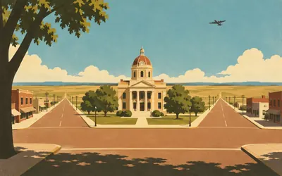
6,343 km (3,942 miles) · heritage
Boise City, Oklahoma
Bombed by its own air force, in 1943
In 1943 a bomber crew took the lights around the courthouse square for a practice range and let go.
- The Oklahoma Historical Society records six one-hundred-pound dummy bombs dropped on Boise City by a B-17 in 1943.
- It records a damaged garage, a damaged pavement and a damaged church, and no injuries.
- The society's own entry does not contain the only-town-bombed-by-its-own-military claim.
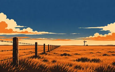
6,421 km (3,990 miles) · heritage
Heartland of the Old XIT Ranch
A state capitol, paid for in land
Texas paid for its state capitol in land and this is the land.
- The Texas Historical Commission's marker gives the XIT grant as 200 miles long, later fenced with 6,000 miles of barbed wire.
- Trail boss Abner Blocker scratched the brand into corral dust with his boot heel in 1885, per the marker.
- The marker calls it a great Texas ranch of international fame and makes no largest-in-the-world claim.
6,526 km (4,055 miles) · heritage
Vega Motel
One of the rare surviving ones, says the NPS
A courtyard motel on the old highway, twelve units in two wings, listed on the National Register in 2006. The Park Service calls it one of the rare surviving intact motel complexes left in the small towns of the Texas Panhandle, and notes that only three such intact examples remain outside Amarillo. One of the rare. Not the first, and not the oldest.
6,983 km (4,339 miles) · heritage
Old Coke County Jail, Robert Lee
About four prisoners a month, for minor things
A steel jail of 1907, successor to a one-room lumber one built about 1891. The Texas Historical Commission's marker undercuts every western ever filmed in two lines: prisoners averaged about four a month, jailed only for short terms for minor law violations, and Coke County never has had a felon assessed the death penalty.
7,198 km (4,473 miles) · heritage
Mason Historic District
A courthouse in four materials, and a clocktower
The line runs through the middle of the historic district, which is rare on this route. The Texas Historical Commission describes the 1909 courthouse in its own words: sandstone, cast stone and sheet metal in the Classical Revival style, with full height square pilasters, a Doric entry portico and a central domed clocktower. The National Register lists the district for commerce, military, architecture and agriculture.
San Antonio and south Texas
7,378–7,648 km · 3 places
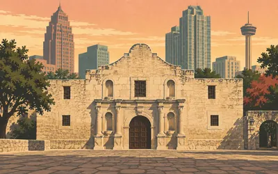
7,378 km (4,584 miles) · heritage
The Alamo
Mission Valero, in the records that govern it
The building everyone comes for is not the one the Park Service runs, and in the records that actually govern it, it is not primarily a battlefield.
- UNESCO lists the Alamo as Mission Valero, a component of the San Antonio Missions World Heritage Site.
- UNESCO calls it the first of the series to be created by the Franciscan Order.
- The Texas General Land Office holds jurisdiction of the Alamo Complex; it is not a National Park Service site.
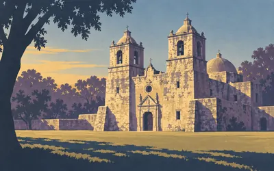
7,383 km (4,587 miles) · heritage
San Antonio Missions
The oldest unrestored one, which is a careful phrase
Five frontier mission complexes are strung along a stretch of river that UNESCO measures at twelve point four kilometres, of which the Park Service runs four and the fifth is the Alamo.
- The Park Service calls San Antonio Missions the only UNESCO World Heritage Site in Texas.
- It calls Mission Concepción the nation's oldest unrestored stone church.
- UNESCO gives the five complexes as strung along a 12.4-kilometer stretch of the San Antonio River basin.
7,648 km (4,752 miles) · landmark
Brooks County Courthouse, Falfurrias
Alfred Giles, and not much else on the record
Almost the last thing before the border: a Classical Revival courthouse listed on the National Register in 2012. The record names Alfred Giles as architect and Westlake and Mizell as builders, and gives its significance as architecture and as politics and government. That is the whole of it. The register carries no narrative for this building, which is more common than anybody admits.
Mexico
8,639–9,029 km · 4 places
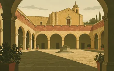
8,639 km (5,368 miles) · heritage
Ex Convento de San Francisco, Pachuca
Only the cloister courtyard is original
Eight hundred and forty-five kilometres inside Mexico, on a line that has passed nothing with a heritage record since the river, the road reaches Pachuca.
- INAH quotes Fray Baltasar de Medina: the convent was founded by Fray Francisco de Torantos in 1596.
- The licence came from the viceroy Don Luis de Velasco the younger, per the same chronicle.
- Of the original convent INAH says only the small quadrangular cloister courtyard survives.
8,874 km (5,514 miles) · heritage
Huamantla
Heroic, for reasons INAH states in one line
INAH gives the reason for the town's title in a single sentence: for having been the setting of memorable battles, the city has earned the title of heroic. It was declared a Historic Monuments Zone on 12 November 1984, and named a Pueblo Mágico by the tourism ministry from 2006. Two ministries, two kinds of designation, one town.
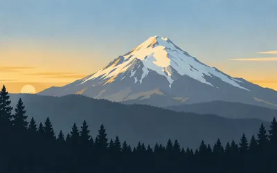
8,967 km (5,572 miles) · nature
Pico de Orizaba
The highest in Mexico, and CONANP stops there
The road crosses a saddle and the mountain is simply there to the north, with snow on it, in a country you have spent a thousand kilometres thinking of as hot.
- CONANP calls Citlaltépetl the highest mountain in Mexico and gives its summit as 5,610 metres above sea level.
- The national park was decreed on 4 January 1937 and covers 19,750 hectares.
- CONANP scopes the height claim to Mexico and makes no claim about North America.
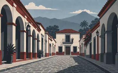
9,029 km (5,611 miles) · heritage
Córdoba, Veracruz
Where Spain agreed to leave, in 1821
Spain agreed to go home in a house in this town.
- INAH dates the Treaty of Córdoba to 24 August 1821, between Agustín de Iturbide and Juan O'Donojú.
- INAH frames the town as where Spanish withdrawal was negotiated, not where independence was declared.
- The Historic Monuments Zone declared on 19 December 1990 covers nine blocks and eleven buildings.
Guatemala
9,915–10,028 km · 2 places
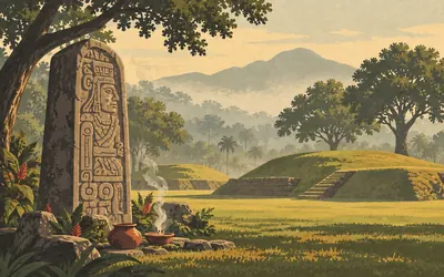
9,915 km (6,161 miles) · heritage
Tak'alik Ab'aj
Seventeen hundred years, and still in use
Sixty-eight kilometres inside Guatemala, on a coastal plain of sugar and rubber, is a site UNESCO inscribed in 2023.
- UNESCO gives Tak'alik Ab'aj a 1,700-year history spanning 800 BCE to 900 CE.
- UNESCO records that groups of the twenty-two Mayan language affiliations still visit the site to perform rituals.
- Guatemala's culture ministry raised it to a Parque Arqueológico Nacional by ministerial order in November 2002.
10,028 km (6,231 miles) · heritage
El Baúl, Santa Lucía Cotzumalguapa
Maya sculpture in a working sugar estate
The sculpture of the Cotzumalguapa sites stands inside a private estate. Guatemala's culture ministry lists what is there from El Bilbao, El Baúl and El Castillo, and singles out two pieces: a Maya warrior with an inscription dating from the year 37 of the common era, and a jaguar a metre and a half tall. Not a museum quarter. A yard on a working farm.
Nicaragua
10,701 km · 1 place
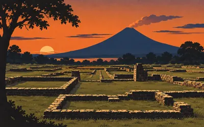
10,701 km (6,649 miles) · heritage
Ruins of León Viejo
A city that failed, which is why it survives
A city that failed, which is exactly why it is still here.
- UNESCO calls León Viejo one of the oldest Spanish colonial settlements in the Americas.
- UNESCO records it as founded in 1524 by Francisco Hernández de Córdoba.
- UNESCO's case for inscription is that the city did not develop, so its ruins testify to 16th-century Spanish imperial structures.
Costa Rica
11,349–11,362 km · 2 places
11,349 km (7,052 miles) · heritage
Grijalba-2
The subordinate one, and that word is deliberate
The first of the stone-sphere sites this road passes. UNESCO calls Grijalba-2 unique for its use of limestone and for its characteristics as a subordinate centre, as against Finca 6, which it says was likely a principal one. Subordinate is a careful word. It means somebody can see a hierarchy in these settlements and is not yet certain what sat at the top of it.
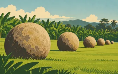
11,362 km (7,060 miles) · heritage
Finca 6, Palmar Sur
Somebody set them in lines and left
Nobody knows why they were made, and both authorities show it by saying nothing about it.
- UNESCO calls Finca 6 the only site retaining stone spheres in linear arrangements.
- The Museo Nacional de Costa Rica names it one of four monuments inscribed as World Heritage in 2014.
- UNESCO records that El Silencio holds the largest single stone sphere ever found, and gives no diameter.
Panama
11,922–11,940 km · 3 places
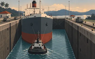
11,922 km (7,408 miles) · engineering
Miraflores Locks
Sited against naval bombardment, in 1907
The locks are here rather than a little further inland for two reasons, and the Panama Canal Authority gives both.
- The Panama Canal Authority says Miraflores was chosen in 1907 partly for protection against naval bombardment.
- It gives the canal six pairs of chambers, twelve in all, across Gatún, Pedro Miguel and Miraflores.
- UNESCO gives the canal's opening year as 1914.
11,929 km (7,413 miles) · heritage
Casco Antiguo, Panama City
UNESCO admits what the guidebooks leave out
UNESCO does not pretend the setting is intact. Its own text says the authenticity of the historic centre's setting has been compromised by the development of the Cinta Costera, and that high-rise buildings are impacting sightlines at Panamá Viejo. What survives, it says, is continuity in the historical urban fabric. That is a World Heritage record admitting in public what a guidebook would leave out.
11,940 km (7,419 miles) · heritage
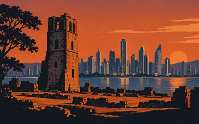
Panamá Viejo
The first Spanish city on the Pacific
A stone tower stands in a field of foundations with a skyline of glass behind it.
- The Patronato Panamá Viejo calls it the first city founded by the Spanish on the Pacific coast of the Americas.
- The Patronato's own description also names the traces of the site's pre-Hispanic inhabitants.
- In July 2025 UNESCO folded the site into a new serial property, the Colonial Transisthmian Route of Panamá.
The Darién, and Colombia
12,294–13,485 km · 5 places
12,294 km (7,639 miles) · nature
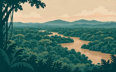
Los Katíos National Park
Two World Heritage records call this road a threat
Somewhere behind you the road ran out.
- UNESCO gives Los Katíos as 72,000 ha of low hills, forests and humid plains in north-western Colombia.
- UNESCO names the possible extension of the Pan American highway among the threats to be addressed here.
- Across the border UNESCO names the possible completion of the Pan-American Highway as a threat to Darién National Park.
13,039 km (8,102 miles) · heritage
Centro Histórico de Santiago de Cali
A declaration is not a plan, and Colombia knows it
Cali's historic centre is a national cultural asset with a management plan attached, and the 2015 resolution explains what that instrument is for: a cultural heritage management tool establishing the actions needed to guarantee its protection and sustainability over time. The declaration is the older half. The plan is the half that has to be renewed, and that split is most of Colombian heritage law.
13,430 km (8,345 miles) · heritage
Los Ajos, Qhapaq Ñan
A name, a coordinate, and no description
The first of the Inca road segments this route passes. UNESCO's component table gives Los Ajos a name and a position and no description at all. The words belong to the whole property, and they say the Qhapaq Ñan is an extensive Inca communication, trade and defence network of roads and associated structures covering more than thirty thousand kilometres. You will meet it again in Peru.
13,439 km (8,351 miles) · heritage
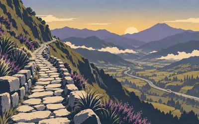
Qhapaq Ñan: Rumichaca to Pasto
Nine surviving stretches, declared together
Colombia declared nine separate stretches of Inca road between Rumichaca and Pasto a national cultural asset in 2013, and the resolution records how: those present unanimously considered it appropriate to include the nine segments in the indicative list.
- Colombia declared the nine Rumichaca to Pasto Qhapaq Ñan segments a national cultural asset by resolution in 2013.
- UNESCO gives the whole Qhapaq Ñan as more than 30,000 kilometres of Inca roads and associated structures.
- UNESCO records local communities continuing as traditional guardians and custodians of Qhapaq Ñan segments.
13,485 km (8,379 miles) · landmark
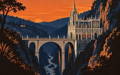
Iglesia Nuestra Señora de Las Lajas
Hung from the rocks, says the resolution
A neo-Gothic church built across a gorge on a bridge, with the rock face for a back wall.
- Colombia's 2006 resolution declares the Iglesia Nuestra Señora de Las Lajas a national cultural asset.
- It dates the church from the start of the 20th century, by Lucindo Espinosa, finished in 1952.
- The resolution describes it as hung from the steep rocks that form the bed of the Guáitara river.
Ecuador
13,596–13,707 km · 2 places
13,596 km (8,448 miles) · heritage
Pimán-Caranqui, Qhapaq Ñan
Named, positioned, and not described
UNESCO lists a Qhapaq Ñan component here, named for the stretch between Pimán and Caranqui, and gives it a name, a position and no description at all. That is the condition of most of the property's hundred and thirty-seven component areas: the words belong to the whole road and not to any single piece of it, which makes the pieces hard to write about and easy to lose.
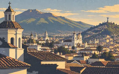
13,707 km (8,517 miles) · heritage
City of Quito
One of the most extensive, and the hedge stays
UNESCO puts the city in its landscape before it says a word about the buildings: isolated in the Andes at two thousand eight hundred and eighteen metres, spread along the slopes of the Pichincha volcano and bordered by the hills of Panecillo and Ichimbía.
- UNESCO gives Quito's altitude as 2,818 m, on the slopes of the Pichincha volcano.
- It calls the historic centre one of the most extensive and best-preserved in Spanish America, and keeps the hedge.
- The same UNESCO page dates the founding both to 1534 and to the sixteenth century, unreconciled.
Peru
14,908–15,877 km · 5 places
14,908 km (9,264 miles) · heritage
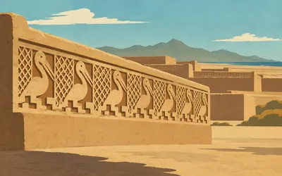
Chan Chan
The largest earthen city, and a late one
Walled compounds of mud, laid out on the desert between the road and the sea.
- UNESCO calls Chan Chan the largest earthen architecture city in pre-Columbian America.
- UNESCO dates the Chimú kingdom's apogee to the 15th century, not long before it fell to the Incas.
- UNESCO's word is earthen, not adobe, and it makes no claim at all about the city's age.
15,367 km (9,549 miles) · nature
Reserva Nacional de Lachay
An ecosystem in two countries, and you cross both
SERNANP writes about this place like a poet and then makes a global claim it can defend. In winter the coastal lomas of Peru flower like an unexpected oasis, and the sea mist wakes the desert. And: the lomas are an ecosystem unique in the world, occurring only on the central coast of Peru and the north coast of Chile. You reach that Chilean coast in about thirteen hundred kilometres.
15,459 km (9,606 miles) · heritage
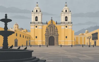
Historic Centre of Lima
On the territories led by the Chiefdom of Rimac
UNESCO names what was here before the city.
- UNESCO records Lima as founded by Francisco Pizarro in January 1535 on the territories led by the Chiefdom of Rimac.
- It attributes the change in Lima's architecture to strong earthquakes in 1586, 1687 and 1746.
- It calls the San Francisco convent ensemble one of the most complete in Latin America, and keeps the hedge.
15,498 km (9,630 miles) · heritage
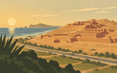
Pachacamac
Kilometre 31.5 of the old Panamericana
Peru's culture ministry gives the sanctuary an address rather than a position: kilometre 31.5 of the old Panamericana Sur, which is to say this road, or the one this road replaced.
- Peru's culture ministry gives Pachacamac's address as kilometre 31.5 of the old Panamericana Sur.
- The site museum was reopened in 2016 and holds the collection from excavations at the sanctuary.
- UNESCO's Qhapaq Ñan component table lists a segment named Quebrada Verde to Pachacamac.
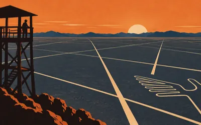
15,877 km (9,866 miles) · heritage
Lines and Geoglyphs of Nasca and Palpa
Unhedged, which UNESCO almost never is
You cannot see them from the road.
- UNESCO places the lines in the arid Peruvian coastal plain, some 400 km south of Lima.
- It calls them the most outstanding group of geoglyphs anywhere in the world, without a hedge.
- UNESCO attributes them to the traditional and millenary magical-religious world and offers nothing else.
Chile: the Atacama and the coast
16,703–17,758 km · 3 places
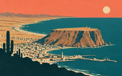
16,703 km (10,379 miles) · viewpoint
Morro de Arica
Two registers, one headland, and no cross-reference
A coastal hill at the southern end of the city.
- The Consejo de Monumentos Nacionales gives the Morro as a plateau some 500 metres long, exceeding 130 metres in height.
- It was declared a national monument by decree in 1971, with the boundaries modified in 1996 and again in 2016.
- Two Chinchorro World Heritage components, Faldeo Norte del Morro and Colón 10, snap to the same point on this route.
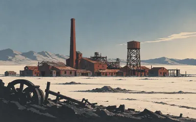
16,968 km (10,543 miles) · engineering
Oficina Salitrera Humberstone
The only leaching shed left anywhere
The Consejo de Monumentos Nacionales locates the works by this road: fifty kilometres east of Iquique, at the junction of the Iquique access road with the Panamericana Norte.
- The Consejo de Monumentos Nacionales dates Humberstone to 1872 and records its original name as La Palma.
- It locates the works 50 km east of Iquique at the junction with the Panamericana Norte.
- UNESCO records that Santa Laura holds the only leaching shed and a saltpeter grinder that remain intact today.
17,758 km (11,034 miles) · nature
Parque Nacional Pan de Azúcar
Marine and terrestrial at once, says CONAF
The road runs into the park boundary. CONAF dates the park to 7 October 1985 and gives its area as 43,754 hectares, and names the thing that makes it unusual: it holds both marine and terrestrial environments, so the fauna is diverse and abundant. CONAF publishes no coordinate for it anywhere, which is why this entry is positioned where the line and the boundary actually meet.
Argentina: over the pass, across the pampa
18,977–22,191 km · 6 places
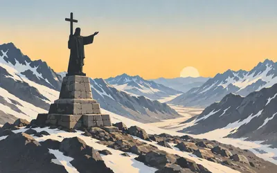
18,977 km (11,792 miles) · landmark
Cristo Redentor de los Andes
Cannon melted down, and it is on the record
You cross out of Chile at a pass with a statue on it.
- Argentina's monuments commission gives the statue as 4 tonnes, made in 1904 by the sculptor Mateo Alonso.
- It records that the bronze came from the cannon of the Army of the Andes.
- It was declared a National Historic Monument by Law 25.878, sanctioned on 18 March 2004.
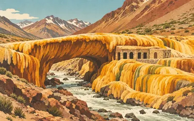
18,995 km (11,803 miles) · nature
Puente del Inca
Unique, although not unique in the world
A natural arch over the Cuevas river, formed by sediment cemented in place, stained the colours hot water leaves behind.
- Mendoza's environment ministry calls the natural bridge of unique characteristics, although not unique in the world.
- It describes the arch as the product of processes of sediment cementation over the Cuevas river.
- The province records Puente del Inca as part of the Qhapaq Ñan World Heritage property.
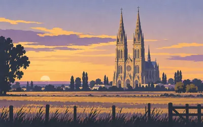
20,167 km (12,531 miles) · landmark
Basílica Nacional de Nuestra Señora de Luján
The register puts the miracle in quotation marks
Argentina's national monuments commission tells the founding story with the quotation marks left in, which is exactly right.
- Argentina's monuments commission records the foundation stone laid in 1887 and the towers finished in 1935.
- The register puts the word remaining in quotation marks when it narrates the image's miraculous episodes.
- The basilica was declared a National Historic Monument by Decree 283/1998.
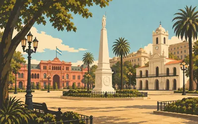
20,237 km (12,575 miles) · landmark
Plaza de Mayo
Four monuments, one square, one document
Four national designations stand around one square here and the commission's records read as a single document.
- Argentina's monuments commission records Juan de Garay setting aside this plot for the Cabildo and the jail.
- The square took its present shape in 1882, when the Recova Vieja was demolished to enlarge it.
- The Pirámide de Mayo was inaugurated on 25 May 1811, opening four days of celebration.
21,520 km (13,372 miles) · heritage
Escultura "A los galeses", Puerto Madryn
A 1965 contract, and the words it chose
Luis Perlotti's relief was unveiled on 28 July 1965 for the centenary of the Welsh landing in Chubut. The national monuments commission quotes the original contract, and the wording is worth reading whole: the second panel symbolises the first triumphs and produce of those colonists, who were received by the natives fraternising with them. That is how 1965 chose to put it, and the register has kept the sentence.
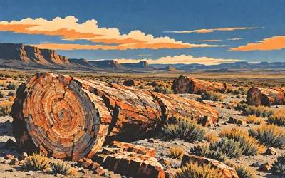
22,191 km (13,789 miles) · nature
Parque Nacional Bosques Petrificados de Jaramillo
The trees are lying down and they are stone
Argentina's parks administration puts a hundred and fifty million years on this ground and then lists what grew here: a great forest of araucarias, along with pines, ferns, cycads and palm-like bennettitales, now extinct.
- Argentina's parks administration dates the fossil forest to 150 million years ago.
- It names araucarias, pines, ferns, cycads and now-extinct palm-like bennettitales among what grew here.
- Protected as a natural monument in 1954, it became a national park by Law 26,825 in 2012, covering 78,543 hectares.
The Strait of Magellan and Tierra del Fuego
22,841–23,289 km · 3 places
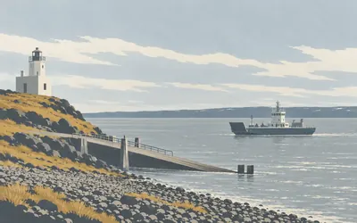
22,841 km (14,193 miles) · engineering
Faro Punta Delgada, First Narrows
Three ferries, and the line crosses anyway
This is where the geometry stops describing a road.
- Chile's public works ministry records three ferries operating permanently, 2.5 nautical miles in 20 minutes.
- The Consejo de Monumentos Nacionales dates the lighthouse to 1901 and calls it the classic George Slight design.
- It gives the building as concrete blocks of approximately 350 m2, declared a national monument in 2009.
23,079 km (14,341 miles) · heritage
Cementerio de la Misión Salesiana, Río Grande
The register gives the count and not the cause
Argentina's national monuments commission states the context and then the count, and both are the register's own words. In 1893 the Salesians established La Candelaria near Río Grande, sheltering the Selk'nam native people, threatened by gold prospectors. The old burial ground holds the graves of approximately 150 indigenous people, mostly of a young age, four Salesians and three sisters. The register gives no cause of death.
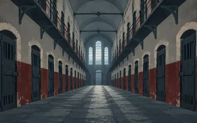
23,289 km (14,471 miles) · heritage
Presidio de Ushuaia
Three hundred and eighty cells, six hundred people
Twenty-three thousand two hundred and eighty-nine kilometres from Prudhoe Bay, the road reaches a prison.
- Argentina's monuments commission dates the idea to 1882 and the foundation stone to September 1902.
- It counts five two-storey wings of 76 single cells each, 380 in all.
- The register records an overcrowding exceeding 600 people in those 380 cells.
Take on Pan-American Odyssey and collect these places as you reach them
Common questions
How does my activity count on a route this long?
Exactly as it would on a short one, only for much longer. Sync once with Strava or Apple Health and every ride, run or walk you record joins a running total that creeps south from Prudhoe Bay. The daily numbers look small against a continental route, which is rather the point: a 250 km week is one week of the ninety-four it takes to reach Ushuaia.
Do I have to be somewhere in the Americas?
No. Nobody rides the real Pan-American Highway from a treadmill in Leeds, but plenty of people cross it virtually that way. Distance is distance, so kilometres logged anywhere on earth carry you through North, Central and South America on the map. Where you train has no bearing on how far down the highway you are.
Is this even realistic for one person?
On your own, think years rather than months. That's the point. Plenty of people take it on together with a club, a workplace team, or a group of friends and chip away at it side by side.
Start your Pan-American Odyssey Conquest
Joining is free. Connect Strava or Apple Health once and every ride, run or walk you record syncs automatically, moving you along the route without anything else to log.