Conquer the Virtual Route 66 Challenge: Ride or Run Chicago to Santa Monica
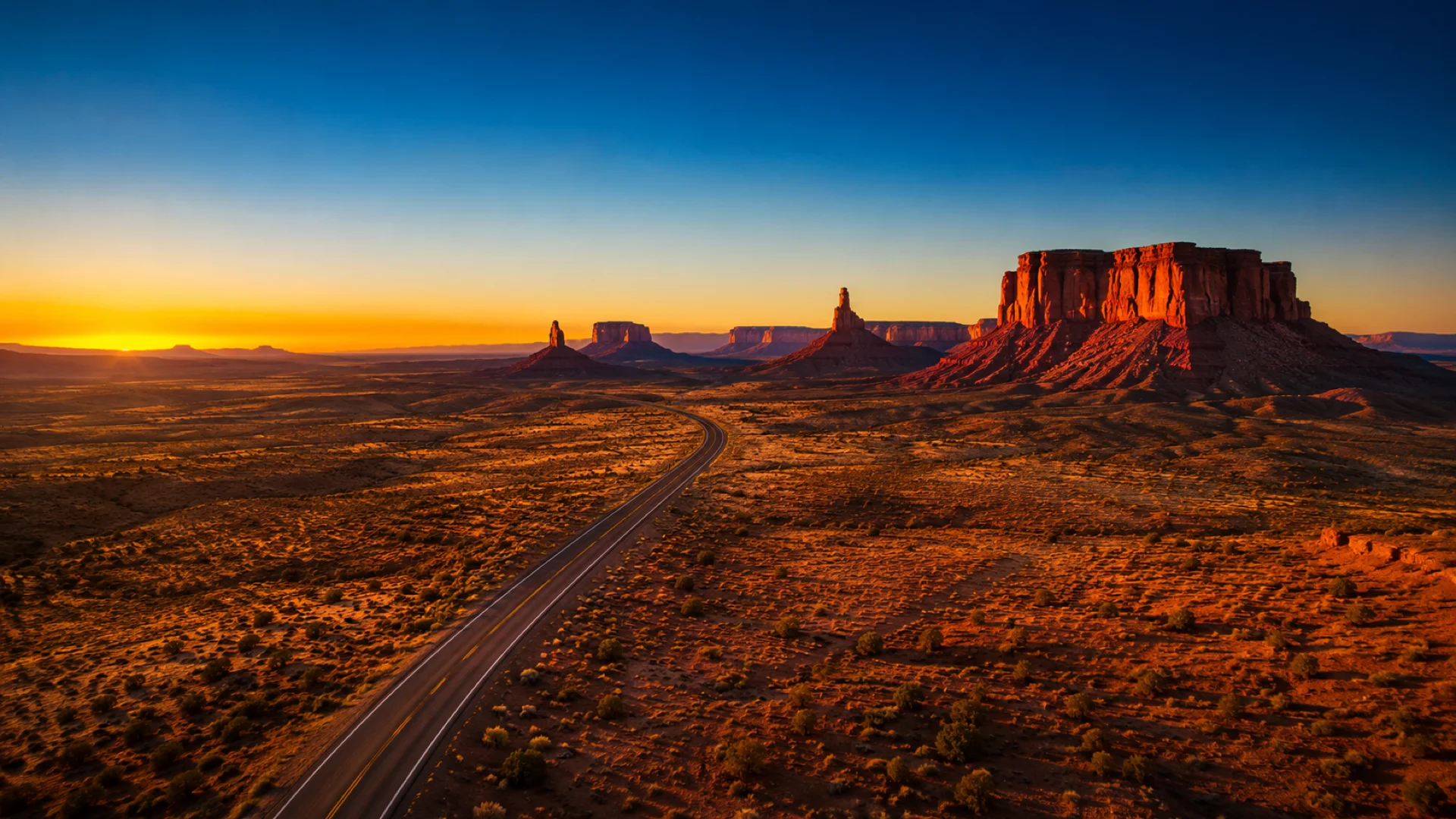
Take on the great American westbound road trip from wherever you already train. Route 66 runs roughly 3,640 km (about 2,262 miles) from Chicago to Santa Monica on the Pacific coast, crossing eight states, the farmland of the Midwest, the southern plains and the high desert of the Southwest. Route Rally turns every synced ride, run or walk into progress along it. You do not need a car, a fortnight of holiday or a single mile of American tarmac: log your distance at home and watch your marker head west, week by week, until it reaches the coast.
- Route: Route 66
- Distance: 3640 km
- Elevation gain: 30000 m
- Long westbound road-trip goal
- Best for: Long rallies of your own, cross-country US route goals, and steady endurance targets
Planning your challenge
A cyclist averaging 250 km/week reaches Santa Monica in about fifteen weeks, and 150 km/week stretches that to roughly six months; runners at 40 km/week and walkers at 30 km/week should plan for a multi-year project rather than a season.
This is a Long route by Route Rally distance bands, and at 3,640 km one of the biggest targets short of the Epic band, so it asks for months of sustained riding rather than a focused few weeks.
Works well for a club or workplace that wants one long westbound story to follow together, and for solo riders who want a target big enough to shape a whole training year.
Create your own rally and set the finish date to suit the pace you can honestly hold, whether that is a summer of hard riding or a year of steady walking.
Why this route
- Route 66 ran from Chicago to Santa Monica across eight states, and the Route Rally route follows the same line for about 3,640 km (2,262 miles) of westbound distance.
- Established in 1926 and long since replaced by the interstates, it is remembered as the Mother Road: the way west across the middle of the United States.
- As a virtual challenge the sheer length is the appeal. At 3,640 km it is more than two and a half times Land's End to John O'Groats, which makes it a target for a whole season or a whole year rather than a month.
- The landscape changes completely as you go: Illinois and Missouri farmland first, then Oklahoma and the Texas panhandle, then the high desert of New Mexico and Arizona before the drop to the California coast.
- Almost everyone already has a picture of this road in their head, which makes it an easy rally to put to a club or a workplace team who need one shared goal for the year.
Highlights
- Start at Grant Park in Chicago, at the eastern end of the Mother Road
- Cross Illinois and Missouri past Funks Grove, Springfield and the Meramec Caverns
- Ride Oklahoma past the Blue Whale of Catoosa and Tulsa
- Cross the Texas panhandle by the Tower Station at Shamrock and Cadillac Ranch
- Climb the high desert through Tucumcari, Albuquerque and the Continental Divide, then the Painted Desert to Flagstaff
- Drop through Kingman and the Cajon Pass towards the Pacific
- Finish at Santa Monica, the traditional end of the road
Places along the route
Every place below is measured onto the route line, so the distance shown is where you actually reach it.
Places are researched from published sources. The distances are measured rather than estimated: we find the point on the route's own recorded line that lies nearest the place, and give the distance along the route to that point.
Illinois: Chicago to the Mississippi
0–386 km · 9 places
0 km (0 miles) · landmark
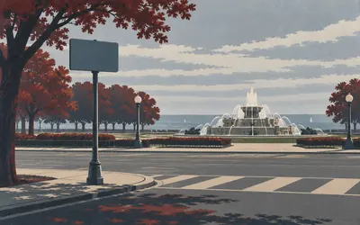
Grant Park, Chicago
The sign here says END
The sign at Jackson and Michigan says END, which is an odd way to begin.
- The National Park Service names Grant Park, at Jackson and Michigan, as Route 66's official eastern terminus.
- Buckingham Fountain opened on 26 May 1927 and was dedicated that August; its lower pool is 280 feet across.
- The Park Service gives Route 66's length as 2,400 miles, not the 2,448 usually quoted.
1 km (1 mile) · heritage
Lou Mitchell's
Two dates, and they are not the same date
William Mitchell started a restaurant on Jackson in 1923 and named it after his son. The building you pass is not that one: it went up in 1949, across the street, and it is the one on the National Register. Careful writers keep the two apart. Careless ones give the place a single birthday it has never had.
60 km (37 miles) · heritage
Old Joliet Prison
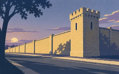
Yellow limestone, and a wall built to be seen
Its first fifty-three prisoners arrived on 22 May 1858 to begin building it, and it stayed in use until 2002, which is why the nomination calls it the oldest and longest-operating penitentiary complex in Illinois, and is careful to keep that scoped to Illinois.
- The first prisoners arrived on 22 May 1858 and the penitentiary closed in 2002.
- Its National Register listing is dated 25 September 2023.
- The nomination calls it the oldest and longest-operating penitentiary complex in Illinois.
123 km (77 miles) · heritage
Ambler's Texaco, Dwight
Sixty-six years of selling petrol, on 66
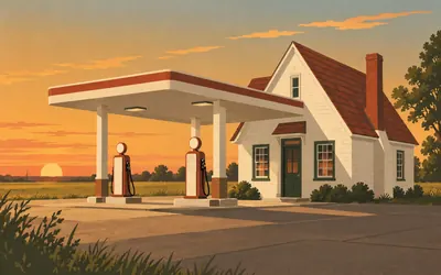
A little house with a canopy stuck on the front.
- The station sold fuel for 66 years and stopped in 1999.
- It was listed on the National Register of Historic Places in 2001.
- The National Park Service calls it one of the oldest continually operated service stations on the road, not the oldest.
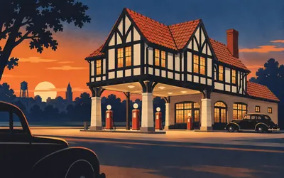
205 km (127 miles) · heritage
Sprague's Super Service, Normal
A filling station with an upstairs
Most filling stations on this road are one storey and a canopy.
- William Sprague built the station with a cafe below and living rooms above.
- It was listed on the National Register in 2008 and bought by the Town of Normal in 2016.
- The Park Service says it may well represent the apex of substantial station architecture, and stops short of calling it unique.
233 km (144 miles) · nature
Funks Grove
Old timber, and a spelling nobody will change
The state protects 18.6 acres of it as a nature preserve, dedicated in December 1985 and described as mesic upland forest, sitting inside what the Department of Natural Resources calls one of the largest remnants of virgin forest in Illinois. The roadside sign says sirup, not syrup. The family who make it have their reasons and have kept it.
309 km (192 miles) · heritage
Lincoln Tomb
Dedicated 15 October 1874
Oak Ridge Cemetery, north-west of the city. Abraham Lincoln lies here with Mary Todd and three of their four sons, Edward, William and Thomas. The monument was dedicated on 15 October 1874, nine years after the funeral train. The National Park Service counts it among Illinois's Route 66 register listings, because the road came past.
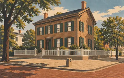
312 km (194 miles) · heritage
Lincoln Home, Springfield
The only house he ever owned
A quiet corner of a quiet block, four streets of it kept as it was, and in the middle a brown clapboard house with green shutters.
- The Lincolns lived in the house from 1844 to 1861 and it is the only home they ever owned.
- Lincoln Home National Historic Site was established in 1971 by Public Law 92-128.
- Congress established the site in 1971 and the National Park Service has run it since.
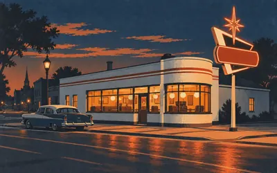
386 km (240 miles) · heritage
The Ariston Cafe, Litchfield
It moved because the road did
Pete Adam opened the first Ariston in Carlinville in 1924, on what was about to become Route 66.
- The first Ariston opened in Carlinville in 1924; the Litchfield building opened on 5 July 1935.
- It moved because the 1930 realignment took Route 66 east, away from Carlinville.
- The cafe was listed on the National Register of Historic Places in May 2006.
Missouri: the Mississippi to the Ozark border
621–847 km · 3 places
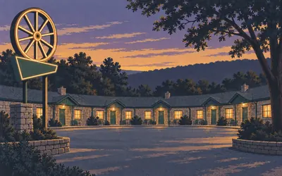
621 km (386 miles) · heritage
The Wagon Wheel Motel, Cuba
Stone cottages, and the sign still lit
The restaurant and filling station opened in March 1936.
- The restaurant and filling station opened in March 1936; lodging is first documented in 1938.
- The buildings are cut stone and the motel is still open to guests.
- It was listed on the National Register in 2003.
708 km (440 miles) · heritage
Pulaski County Courthouse, Waynesville
1903, on a square the road ran round
Henry Hohenschild designed it in 1903 and could not decide between Romanesque and Italianate, so it is both. Route 66 came through Waynesville and went round the square rather than past it, which is why the courthouse is on the Park Service's highway list at all. Listed in 1979.
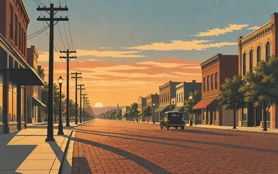
847 km (526 miles) · landmark
Springfield, Missouri
We prefer sixty six to sixty two
The road was going to be Route 60 until Kentucky objected, on the grounds that it was the only Mississippi valley state without a number ending in zero.
- The telegram was sent from Springfield on 30 April 1926 and read: We prefer sixty six to sixty two.
- It was signed by Cyrus Avery of Oklahoma and B. H. Piepmeier of Missouri, not by a single author.
- AASHO adopted the whole US numbered highway system on 11 November 1926.
Kansas: four listings between two state lines
987–990 km · 2 places
987 km (614 miles) · heritage
Williams' Store, Riverton
Listed in 2003, open since 1925
Leo and Lora Williams opened a diner and garage here, and the store that replaced it opened in 1925 with the family's apartment in the west half. The Park Service says it served local customers first and travellers second, which is the honest order for most of what survives on this road. The Williamses sold it in 1973 to Joe and Isabell Eisler; their nephew runs it still.
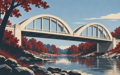
990 km (615 miles) · engineering
Brush Creek Bridge
The last Rainbow Arch on Kansas 66
Two more of these stood on the Kansas stretch of Route 66 and both are gone.
- The Park Service calls it the only remaining fixed Marsh Rainbow Arch bridge left on Kansas Route 66.
- James Barney Marsh patented the Rainbow Arch in 1912 and put up about seventy of them, most of them in Kansas.
- The Spring River and Willow Creek Marsh arch bridges on the same short stretch were dismantled in the early 1990s.
Oklahoma: the corner into Indian Territory to the Texas line
1,103–1,546 km · 12 places
1,103 km (686 miles) · engineering
Pryor Creek Bridge
Steel over a creek, and listed for it
There are a lot of these on the Oklahoma stretch: short steel spans thrown over unremarkable creeks, too narrow for modern traffic and too good to knock down. Six of Oklahoma's Route 66 register entries are bridges, which is more than any other property type on that state's list except the filling station. This is one of the six, and Chelsea's second entry after the motel.

1,112 km (691 miles) · landmark
Ed Galloway's Totem Pole Park
Ninety feet of concrete, eleven years of Sundays
Nathan Edward Galloway taught woodwork at a boys' home, retired to four acres outside Foyil, and spent from 1937 to 1948 building a totem pole out of concrete.
- Galloway built the pole between 1937 and 1948 and the register gives its height as ninety feet.
- The National Register listing is dated 30 March 1999.
- The nomination records his occupation in one word: artist.
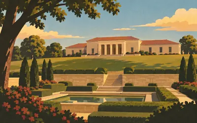
1,129 km (701 miles) · landmark
The Will Rogers Memorial, Claremore
Opened on what would have been his birthday
He was born near Oologah on 4 November 1879 and died in an aeroplane crash in Alaska in 1935, at which point the argument about how to remember him started immediately.
- Will Rogers was born near Oologah on 4 November 1879 and died in 1935.
- The memorial opened on 4 November 1938, on the anniversary of his birth.
- The Oklahoma Historical Society runs it and says it holds the world's largest collection of Will Rogers memorabilia.
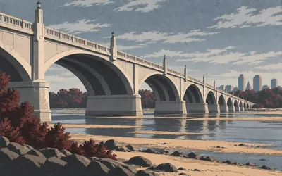
1,174 km (729 miles) · landmark
Cyrus Avery Plaza, Tulsa
The man who bent the road through his own town
Cyrus Stevens Avery sold real estate and coal in Tulsa, sat on the Oklahoma highway commission from 1922, and in 1925 was put on the federal Joint Board on Interstate Highways that drew the numbered system.
- Avery sat on the federal Joint Board of Interstate Highways from 1925 to 1927.
- He was an Oklahoma state highway commissioner from 1922 to 1926.
- The National Park Service calls him the Father of Route 66; the Oklahoma Historical Society calls him the Father of Good Roads in Tulsa County.
1,232 km (766 miles) · heritage
Bristow, Oklahoma
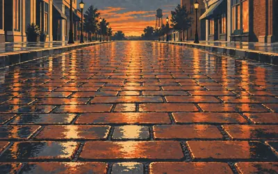
Seven listings, and five of them sell tyres or cars
No town on this road has a more single-minded entry on the national register than Bristow.
- The Firestone station was listed on 6 September 2007.
- Its nomination gives three significant years: 1929, 1930 and 1947.
- Seven Bristow properties appear on the National Park Service's Route 66 register list.
1,260 km (783 miles) · heritage
The Rock Cafe, Stroud
Sandstone, 1939, and it burned
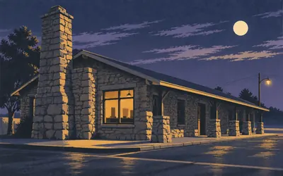
Roy Rives built it in 1939 out of rough local sandstone, a long low room on Main Street with a stone chimney at one end, and it fed highway traffic for decades before anybody thought it was historic.
- The cafe was built in 1939 and the register credits Roy Rives as its architect.
- It was listed on 14 June 2001.
- Fire destroyed the roof in 2008 and the sandstone walls survived.
1,282 km (797 miles) · heritage
The Chandler Armory
A hundred and forty feet by a hundred and twenty-five
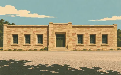
The Depression put men to work and this is what they built with: native sandstone, laid by hand, a hundred and forty feet by a hundred and twenty-five, between 1935 and 1937.
- The armory is 140 feet by 125 feet and was built of native sandstone between 1935 and 1937.
- Its cornerstone names the Works Progress Administration and the year 1936.
- It was dedicated on 1 March 1937 and listed on the National Register on 14 March 1991.
1,374 km (854 miles) · engineering
Lake Overholser Bridge
Older than the number it carried
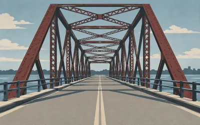
The General Construction Company put this steel bridge across the north canal of Lake Overholser in 1924, and the register attaches three significant years to it: 1924, 1925 and 1926.
- The bridge was built in 1924, two years before Route 66 was numbered.
- The register gives three significant years: 1924, 1925 and 1926.
- It was listed on the National Register on 2 March 2004.
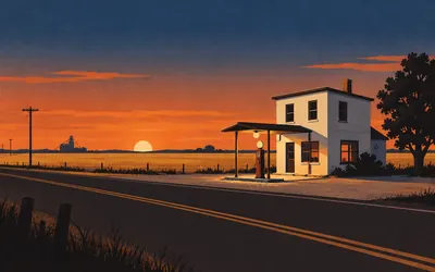
1,455 km (904 miles) · heritage
Provine Station, Hydro
Two storeys, pumps below, family above
A small two-storey box beside the road with a canopy over the pumps and living rooms upstairs, which was the standard answer to the problem of running a filling station a long way from anywhere: you live in it.
- The nomination gives the period of significance as 1929 to 1944.
- It was listed on the National Register on 17 July 1997.
- The register files it under commerce and architecture, and calls it the Provine Service Station.
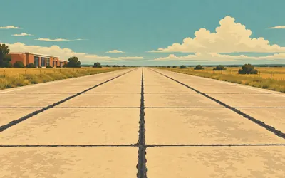
1,499 km (931 miles) · heritage
The Oklahoma Route 66 Museum, Clinton
The state historical society owns this one
Oklahoma treats this highway as state history rather than as nostalgia, and the proof is on the western edge of Clinton: the Oklahoma Route 66 Museum is run by the Oklahoma Historical Society, the same body that keeps the state archives and writes its encyclopedia.
- The museum is operated by the Oklahoma Historical Society, the state's own history agency.
- Clinton has two National Register buildings: the WPA-built National Guard Armory and the Crawford House.
- Two further Clinton properties appear on the Park Service's Route 66 register list.
1,533 km (952 miles) · heritage
Canute Service Station
Art Deco, on a corner, in a western Oklahoma farm town
South-west corner of Main and the highway, listed on the National Register in February 1995, and the register calls its style Art Deco. That is worth sitting with. A filling station out here was built with a stepped parapet and a bit of geometry on it, because that was simply what a modern building looked like and nobody thought a farm town should be exempt.
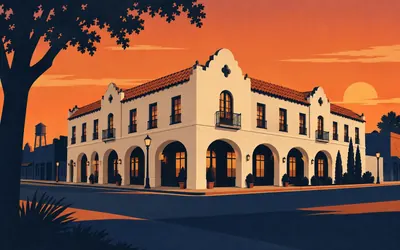
1,546 km (960 miles) · heritage
The Casa Grande Hotel, Elk City
Spanish Revival, western Oklahoma, 1928
Hawk and Parr designed it and W. C. Krumrei built it in 1928, and the register files its style as Mission or Spanish Revival, which on the high plains of western Oklahoma is a decision rather than a tradition.
- The hotel was built in 1928 to designs by Hawk and Parr, with W. C. Krumrei as builder.
- The National Register files its style as Mission or Spanish Revival.
- It was listed on 23 February 1995.
Texas: the Panhandle
1,634–1,864 km · 5 places
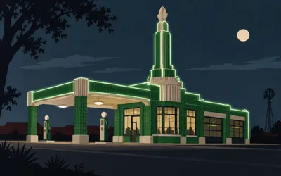
1,634 km (1,015 miles) · heritage
Tower Station, Shamrock
A tower on a filling station, and the tower does nothing
It is a filling station and a cafe with a tower on it, and the tower does nothing.
- The register gives 1936 as the significant year and files the style as Art Deco.
- It was listed on 18 September 1997.
- Shamrock's other Route 66 register entry is the highway bridge over the Chicago, Rock Island and Gulf Railroad.
1,666 km (1,035 miles) · heritage
McLean, Texas
Reputed to be the first, and the register says reputed
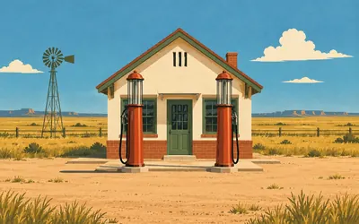
A cottage-style station with two pumps and a gabled roof, built in 1929 and contributing to the town's National Register district.
- The Phillips 66 station was built in 1929 and contributes to the McLean Commercial Historic District.
- The Texas Historical Commission's survey says only that it is reputed to be the first Phillips 66 station in Texas.
- The district appears on the National Park Service's Route 66 National Register listings.
1,680 km (1,044 miles) · heritage
Alanreed
One of the few stretches still unpaved
The Texas Historical Commission surveyed the whole state's Route 66 in 2018 and found only a few segments with their historic integrity intact. One is the unpaved section in Gray County between here and McLean. Another, west of Alanreed towards Jericho, crosses private land and cannot be reached at all.
1,788 km (1,111 miles) · heritage
Sixth Street, Amarillo
One of the city's three Route 66s
Amarillo did not have a Route 66.
- The district was listed on 23 August 1994.
- Its nomination names Guy Anton Carlander and Albert Randall as architects.
- The Texas Historical Commission records three separate Route 66 alignments through Amarillo.
1,864 km (1,158 miles) · landmark
Adrian, Texas
Halfway, according to Adrian
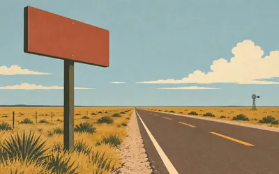
There is a sign here that says Chicago 1,139, Los Angeles 1,139, and a cafe that renamed itself the Midpoint Cafe in 1995 to go with it.
- The roadside sign gives 1,139 miles to Chicago and 1,139 to Los Angeles.
- No state or federal highway authority publishes a certified midpoint for Route 66.
- The cafe took the name Midpoint Cafe in 1995; the sign and the claim are the town's own.
New Mexico: the plains, the old northern loop and the Rio Grande
1,928–2,467 km · 10 places
1,928 km (1,198 miles) · heritage
San Jon
Named twice on the register, as an endpoint
New Mexico listed its Route 66 differently from the other states. Alongside the buildings there is a whole section of the federal list filed under New Mexico-General, fifteen entries of which most are stretches of road rather than places. San Jon appears in two of the names, as the point where one listed stretch stops and the next begins.
1,965 km (1,221 miles) · heritage
The Blue Swallow Motel, Tucumcari
Finished in early 1942, by a carpenter, for a rancher
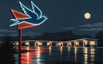
A single-storey L of adobe-coloured rooms with a garage between each pair, so you could park your car indoors, which was a serious selling point on a road where the wind carries grit.
- The nomination says the motel was completed in early 1942, not 1939 as often repeated.
- It was built by the Tucumcari carpenter W. A. Huggins for the rancher Ted Jones.
- It was listed on 22 November 1993.
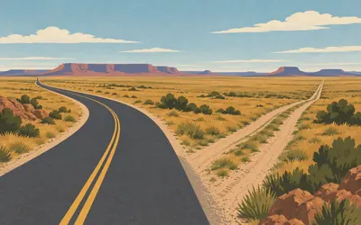
2,061 km (1,281 miles) · landmark
Santa Rosa
Where the road forked, and one fork was a grudge
Until 1937 Route 66 turned north here.
- Until 1937 Route 66 ran north from Santa Rosa to Romeroville and Santa Fe before turning south again.
- The 1937 realignment cut about a hundred miles from the journey.
- The National Park Service calls the new alignment by its local name, Hannett's Joke.
2,243 km (1,394 miles) · heritage
Nob Hill Business Center
Twenty-three listings in one city
Albuquerque has more Route 66 properties on the National Register than any other city on the road: twenty-three of them, and about half are motor courts and auto lodges strung along Central Avenue. Nob Hill Business Center is the shopping end of the same idea, a parade built facing a car park rather than a pavement.
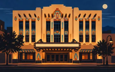
2,248 km (1,397 miles) · heritage
The KiMo Theatre, Albuquerque
Boller Brothers, 1927, on Central Avenue
The Boller brothers had already designed a Wild West Rococo theatre in San Antonio and, in St Joseph, Missouri, a Spanish cathedral with a Greco-Babylonian interior, the city's history of the KiMo records.
- The theatre was built in 1927 to designs by the Boller Brothers, with Robert E. McKee as contractor.
- It was listed on the National Register on 2 May 1977.
- Albuquerque has twenty-three properties on the Park Service's Route 66 register list, more than any other city.
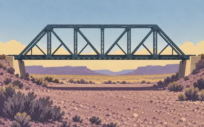
2,275 km (1,414 miles) · engineering
The Rio Puerco Bridge
Two hundred and fifty feet in one jump
A single steel span, two hundred and fifty feet of it, over a river that is usually a dry gravel bed and occasionally is not.
- The single span is 250 feet; with its approaches the bridge is 330 feet long and 20 feet wide.
- The nomination calls it the longest single-span Parker through truss bridge in New Mexico.
- It was built in 1933 and the road over it became US 66 only in 1937.
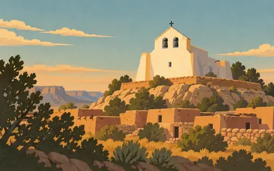
2,320 km (1,441 miles) · heritage
San José Mission, Laguna Pueblo
White above the highway since 1699
The white church on the rise above the road belongs to the Pueblo of Laguna and the Pueblo's own account is the one to use: built in 1699, dedicated to Saint Joseph, and unlike the other missions of its period made of field stone, adobe, mortar and plaster rather than adobe alone.
- The Pueblo of Laguna gives 1699 as the year the mission was built.
- The Pueblo notes that it is built of field stone, adobe, mortar and plaster, unlike other missions of its period.
- The ceiling above the sanctuary carries Laguna symbols of a rainbow, the sun, the moon and the stars.
2,370 km (1,473 miles) · heritage
Charley's Automotive Service, Grants
A garage, and the only listing in a uranium town
Grants boomed on uranium in the 1950s and its single entry on the Route 66 register is a car repair shop. Mining towns do not preserve their mines; they preserve the ordinary buildings that outlast the boom, and on this road that means the places that fixed the cars of people passing through.
2,426 km (1,507 miles) · viewpoint
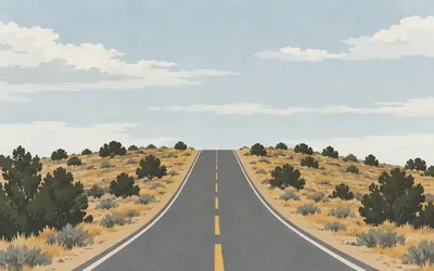
The Continental Divide
Water behind you goes east, water ahead goes west
There is no view.
- The listed road segment ending here is named on the federal register as Milan to Continental Divide.
- Rain falling east of this line drains to the Gulf of Mexico; rain falling west of it drains to the Pacific.
- No highway or survey authority reached publishes an elevation for this crossing, so none is given here.
2,467 km (1,533 miles) · heritage
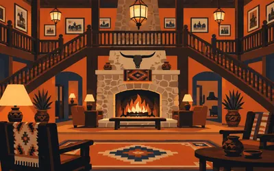
The El Rancho Hotel, Gallup
Built for the man who housed the film crews
Joe Massaglia built it in 1936 for a man the nomination calls Griff Griffith, who had come to Gallup in the early thirties to direct a picture, liked the place and stayed, and became the centre of the town's film business.
- The hotel was built in 1936 by Joe Massaglia for the film man known as Griff Griffith.
- Its nomination records western films shot around Gallup from 1929 to 1965 and names none of them.
- It was listed on the National Register on 14 January 1988.
Arizona: the Painted Desert to the Colorado
2,525–3,076 km · 11 places
2,525 km (1,569 miles) · engineering
Querino Canyon Bridge
One of Arizona's bridge-heavy register entries
Arizona has more Route 66 bridges on the National Register than any other state on the road: Allentown, Querino Canyon, Sanders, Carrizo, St Joseph, Jack's Canyon, Winslow, Canyon Diablo, Walnut Canyon, Old Trails at Topock. Ten of them, because getting a highway across northern Arizona is mostly a question of getting it across the gaps.
2,581 km (1,604 miles) · heritage
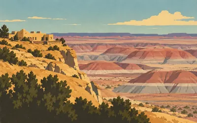
The Painted Desert Inn
The only national park the road runs through
Herbert Lore built it out of petrified wood and native stone and called it the Stone Tree House, and ran it for nearly twelve years.
- Petrified Forest is the only unit of the National Park System containing a section of Historic Route 66.
- The building was rebuilt between 1937 and 1940 by NPS architect Lyle E. Bennett around Herbert Lore's earlier walls.
- Mary Colter arrived in December 1947 and brought in the Hopi artist Fred Kabotie to paint the murals.
2,623 km (1,630 miles) · heritage
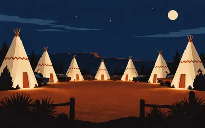
Wigwam Village #6, Holbrook
Three of the seven are left
Chester Lewis saw one of Frank Redford's Wigwam Villages in Kentucky, licensed the design and built his own here, opening on 1 June 1950.
- The motel opened on 1 June 1950 and was built by Chester E. Lewis under Frank Redford's design.
- The nomination records that three of the original seven Wigwam Villages survive.
- It states that 95 per cent of the room furniture is the original 1950 furniture.
2,640 km (1,641 miles) · engineering
St Joseph Bridge
Listed under a name the town no longer uses
The town is Joseph City and the bridge is St Joseph Bridge, because the register recorded the settlement's older name and nobody has updated it. A register entry is a snapshot of what a thing was called on the day the form was signed, which is worth remembering every time one of these cards quotes a listing by its official name.
2,675 km (1,662 miles) · heritage
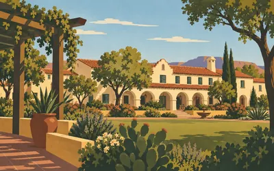
La Posada, Winslow
The only Colter outside the Grand Canyon
The Santa Fe Railway and the Fred Harvey Company built hotels along the line the way an airline builds lounges, and this is one of the late ones: a Spanish Colonial Revival hacienda with gardens, opened in 1930 and designed by Mary Colter.
- The hotel opened in 1930 and closed as a hotel twenty-seven years later.
- Its nomination calls it the only surviving Mary Colter design outside Grand Canyon National Park.
- The district was listed on 31 March 1992.
2,770 km (1,722 miles) · heritage
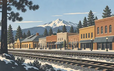
The Railroad Addition, Flagstaff
Built in the gap between the railway and the pines
Flagstaff grew up in the gap between the railway and the pine forest, which is exactly what the historic district is: the blocks bounded by the Santa Fe tracks, Agassiz and Beaver Streets, Birch and Aspen Avenues.
- The district was listed on 18 January 1983.
- Its register record gives two significant years, 1883 and 1935, and names Gilbert Stanley Underwood among the architects.
- Its boundary is drawn by the Santa Fe railroad tracks and four streets.
2,773 km (1,723 miles) · engineering
The Two Spot Logging Train
A locomotive, on the highway's register
One of the odder entries on the whole Route 66 list: not a building, not a bridge, not a stretch of road, but a logging locomotive. Flagstaff was a timber town before it was a highway town, and the ponderosa forest either side of the road is the reason.
2,822 km (1,754 miles) · heritage
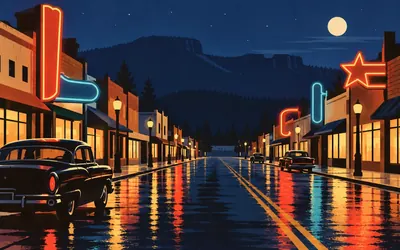
Williams, Arizona
The last town in America bypassed by the interstate
On 13 October 1984 Interstate 40 opened round Williams and Route 66 stopped being a through road anywhere in the United States.
- Williams was bypassed by Interstate 40 on 13 October 1984, the last Route 66 town in the country to be bypassed.
- The historic district contains 56 structures, of which the nomination counts ten as non-contributors.
- The district was listed on 20 December 1984, two months after the bypass opened.
2,890 km (1,796 miles) · heritage
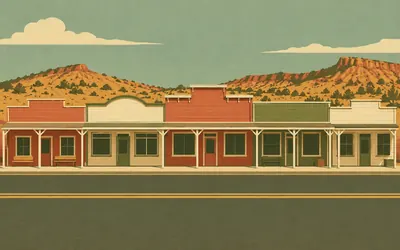
Seligman
Where somebody decided to fight the interstate
When Interstate 40 went round Seligman the town had about ten years of watching itself die.
- Arizona dedicated old US 66 from Seligman to Kingman as Historic Route 66 in November 1987.
- The nomination calls the stretch beginning at Seligman the longest remaining segment of US Route 66 in the United States.
- It names Angel Delgadillo as a co-founder of the Historic Route 66 Association, not its sole founder.
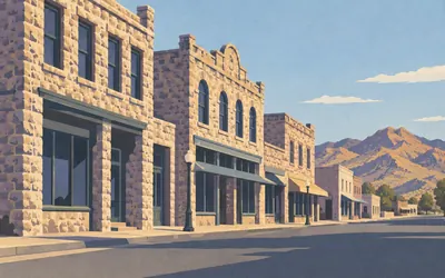
3,030 km (1,883 miles) · heritage
Kingman
Nine buildings of tufa on Andy Devine Avenue
The main street is named after an actor who grew up here, and the historic district along it is small and precise: nine buildings and one archaeological site, north and south sides of Andy Devine Avenue, which the nomination is careful to note used to be called Front Street.
- The district is nine buildings and one archaeological site, listed on 14 May 1986.
- The register calls the 1907 Hotel Brunswick the largest stone commercial building in Kingman.
- Andy Devine Avenue was called Front Street before it was renamed for the actor.
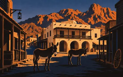
3,076 km (1,911 miles) · heritage
Oatman
First bypassed, 1953, and the burros stayed
The road over the Black Mountains is the 1926 alignment, tight and steep and exactly as unsuitable for a transcontinental highway as it looks, which is why Oatman was the first town in Arizona to lose Route 66, in 1953.
- Oatman was the first town in Arizona to be bypassed, in 1953, when the road was rerouted.
- The register calls the 1924 Durlin Hotel the only two-storey adobe building in Mohave County.
- The BLM traces the town's free-roaming burros to animals brought by miners from the early 1860s.
California: the Mojave, the Cajon Pass and Foothill Boulevard
3,139–3,640 km · 8 places
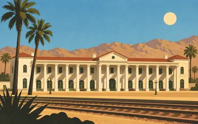
3,139 km (1,951 miles) · heritage
El Garces, Needles
A Harvey House with a colonnade on the Colorado
Francis Wilson built it for the Santa Fe in 1908: a long Classical Revival depot with a hotel and a restaurant behind a two-storey colonnade, and the nomination calls it the largest and most significant example of that style of depot in California.
- El Garces was built in 1908 to designs by Francis W. Wilson for the Santa Fe Railway.
- Its nomination calls it the largest and most significant Classical Revival depot in California.
- A 1961 renovation demolished 146 feet of the original east wing.
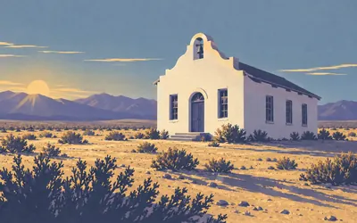
3,188 km (1,981 miles) · heritage
Goffs Schoolhouse
On the road that was bypassed in 1931
Anthony Beimer built this schoolhouse in 1913 and 1914, a white Mission Revival box with a bell arch, in a place that had a railway siding and very little else.
- The schoolhouse was built in 1913-14 by Anthony Beimer and listed on 11 October 2001.
- The road past it became US 66 in November 1926 and was bypassed by a new alignment in December 1931.
- It is owned by the Mojave Desert Heritage and Cultural Association.
3,203 km (1,990 miles) · nature
Mojave National Preserve
The road is the boundary
Everything to your right for a very long way is a national park unit, and you never enter it. The Park Service says so itself: Mojave is bounded north and south by two interstates, and the southern one is the road under you. One point six million acres, established on 31 October 1994, with about seven hundred thousand acres of it designated wilderness.
3,396 km (2,110 miles) · heritage
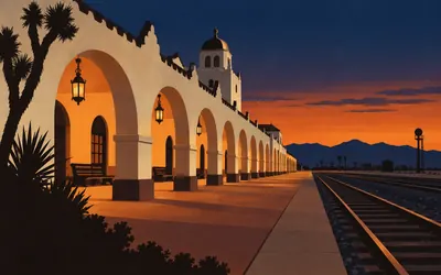
Casa del Desierto, Barstow
Spanish-Moorish, and it burned once already
The third Colter building on this road, and the state's own landmark text tells the sequence better than a summary can: Fred Harvey took over the catering on the Santa Fe line in 1893, including the house at Barstow, then Waterman Junction, built in 1885.
- The first Harvey House here dated from 1885 and burned in 1908; the present building was put up between 1910 and 1913.
- California's landmark text calls it the best surviving example of the state's turn-of-the-century depot hotels.
- It was listed on the National Register on 3 April 1975.
3,544 km (2,202 miles) · heritage
Cucamonga Rancho Winery
A grant of thirteen thousand acres, 3 March 1839
Two state landmarks share one address on Foothill Boulevard. Governor Alvarado granted Tiburcio Tapia thirteen thousand acres here on 3 March 1839 and Tapia planted vines. His adobe stood half a mile west and, in the state's own phrase, disintegrated into its native earth after 1858. The winery is still standing.
3,549 km (2,205 miles) · landmark
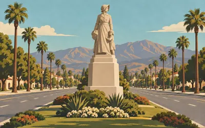
Madonna of the Trail, Upland
One of twelve, and this one faces four trails
In 1929 the Daughters of the American Revolution put up twelve identical statues in twelve states along the National Old Trails Road, commemorating pioneer women and, quite explicitly, arguing for a national highway.
- The twelve Madonna of the Trail statues were placed by the National Society of the Daughters of the American Revolution; this one was dedicated in 1929.
- The sculptor was August Leimbach, and California's record says the figure was inspired by a statue of Sacagawea in Portland, Oregon.
- Euclid Avenue itself is on the National Register, listed on 10 August 2005 with significant years of 1882, 1883 and 1886.
3,582 km (2,226 miles) · heritage
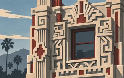
The Aztec Hotel, Monrovia
Mayan, and the architect knew it
Robert Stacy-Judd built it in 1924 and it opened on 5 September 1925, covered inside and out in cast concrete ornament in the Mayan manner.
- The hotel opened on 5 September 1925 to designs by Robert B. Stacy-Judd.
- The nomination says Stacy-Judd chose the name Aztec although the architecture is Mayan, because more people had heard of the Aztecs.
- It was listed on the National Register on 22 May 1978 at local significance.
3,640 km (2,262 miles) · landmark
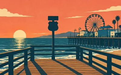
End of the Trail
Where the road runs out of land
The road ends at the sea, and the sign that says so stands on the pier.
- The Santa Monica Pier's own operator calls this the End of the Trail and says Route 66 ends at the sea here.
- The National Park Service says the remnants of Route 66 are not a single road leading to the piers at Santa Monica.
- No Santa Monica property appears on the Park Service's roster of California Route 66 National Register listings.
Common questions
How does my riding or running count towards Route 66?
Your synced feed does the work. Route 66 progress ticks up the moment Strava or Apple Health hands over a ride, run or walk, sliding your marker west out of Chicago. A 60 km Sunday spin is 60 km of the Mother Road, whether you rode it in Ohio or in Oxfordshire, and nothing has to be uploaded or typed in afterwards.
Do I need to be in the United States?
No. Route 66 is a distance target here rather than a road you have to go and find, so cyclists in Cornwall and runners in Singapore take it on from home. What you are chasing is the 3,640 km between Chicago and Santa Monica, and those kilometres count the same wherever you cover them.
How far is Route 66?
The Route Rally route covers about 3,640 km, or roughly 2,262 miles, Chicago to Santa Monica. Published lengths for the historic road vary, because the highway was realigned repeatedly over its life and was removed from the federal highway system in 1985, leaving several alignments that people still drive and quote.
How long does it take to cycle Route 66 virtually?
At a steady 250 km a week you reach Santa Monica in about fifteen weeks. Drop to 150 km a week and it stretches to roughly six months, while 400 km a week brings it inside ten weeks. You choose the finish date at setup, so the timetable is entirely your own.
Can I run or walk Route 66 instead?
Yes, though it is a serious commitment on foot. A runner covering 40 km a week is looking at close to two years, and a walker at 30 km a week at nearer two and a half. Plenty of people take it on as a long club or workplace rally for exactly that reason, with everyone's own progress side by side on one leaderboard.
Is Route 66 a good club or workplace challenge?
Yes. Everyone's synced activities move along the same road on one leaderboard, and a westbound journey gives a long rally something to talk about: getting out of the Midwest, reaching the plains, hitting the desert. At 3,640 km it is long enough to keep a team going for a season without anyone finishing in the first fortnight.
Which states does Route 66 pass through?
Eight: Illinois, Missouri, Kansas, Oklahoma, Texas, New Mexico, Arizona and California. The Kansas stretch is by far the shortest, a brief clip of the southeastern corner. On your passport the whole route counts as one country, the United States, because Route Rally stamps countries rather than states.
Start your Route 66 Conquest
Connect Strava or Apple Health once and every ride, run or walk you record syncs automatically, moving you along the route without anything else to log.