Virtual Yorkshire Wolds Way Challenge
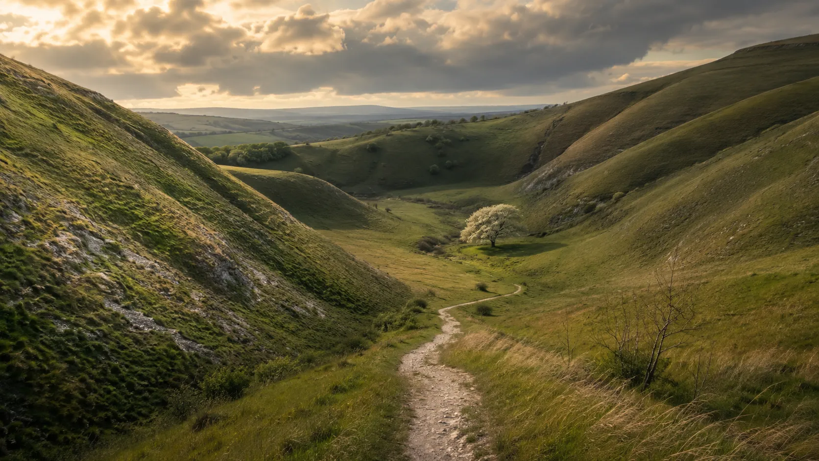
Explore one of England's quieter national trails from wherever you already train. The Yorkshire Wolds Way runs roughly 124 km (about 77 miles) from Hessle near the Humber Bridge in the south to the clifftop at Filey Brigg on the North Sea coast, crossing the rolling chalk dales of East Yorkshire. Route Rally turns every synced walk, run or ride into progress along this understated and rewarding route.
Part of the National Trails series
- Route: Yorkshire Wolds Way
- Distance: 124.3 km
- Free
- Elevation gain: 2667 m
- Quiet chalk dales and coast route
- Best for: Medium rallies of your own for walkers and runners, and focused monthly goals
Planning your challenge
A runner averaging 40 km/week finishes in around three weeks; a walker at 30 km/week takes about four weeks, and a cyclist at 150 km/week wraps it up in about a week.
This is a Medium route by Route Rally distance bands, well suited to a focused monthly goal or a step up from a shorter route.
Works well for walkers and runners who want a trail with genuine character that is quieter than the popular southern routes.
Create your own rally for your own Wolds target, solo or with a group sharing one leaderboard.
Why this route
- The Yorkshire Wolds Way covers about 124 km (77 miles) from the Humber estuary to the North Sea coast, crossing the chalky dales and dry valleys of East Yorkshire.
- As a virtual challenge you cover the distance in your own time, with walks, runs and rides from wherever you train all counting towards the clifftop finish at Filey Brigg.
- The Wolds are one of England's least-visited areas, which gives this route a distinct character away from the crowded southern trails.
- Its medium length is achievable in a focused month at a comfortable walking or running pace.
- The coastal finish adds a satisfying final destination to a route that otherwise winds through the quiet agricultural heart of East Yorkshire.
Highlights
- Start at Hessle, near the Humber Bridge on the East Yorkshire bank
- Cross the rolling dry valleys and chalk hillsides of the Yorkshire Wolds
- Pass through market towns and quiet villages in one of England's most peaceful regions
- Finish on the clifftop at Filey Brigg overlooking the North Sea
Places along the route
Every place below is measured onto the route line, so the distance shown is where you actually reach it.
Places are researched from published sources. The distances are measured rather than estimated: we find the point on the route's own recorded line that lies nearest the place, and give the distance along the route to that point.
The Humber shore and the western scarp
1–124 km · 26 places

1 km (1 mile) · engineering
The Humber Bridge
The first mile is spent underneath it
The trail begins on the Humber foreshore and its first mile runs directly under the bridge.
- Historic England records that the Humber Bridge had the longest single bridge span in the world when it was completed in 1981, at 1,410 metres.
- It was the first suspension bridge of that span to be built with reinforced concrete towers.
- A scheduled early nineteenth-century tower mill for a whiting works stands 130 metres west of the bridge; Historic England calls it a unique survival.
9 km (6 miles) · nature
Melton Bottom Chalk Pit
One thin dark seam in all that white
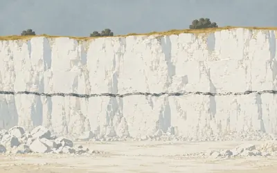
A quarry cut into the side of the Wolds, and the first proper look at the rock the whole trail is built on.
- Natural England calls Melton Bottom the type locality for the Welton Chalk Formation.
- Its citation records the best exposure of the Black Band in England.
- The Black Band marks an anoxic event, when the sea floor ran out of oxygen.
17 km (10 miles) · heritage
Brantingham War Memorial
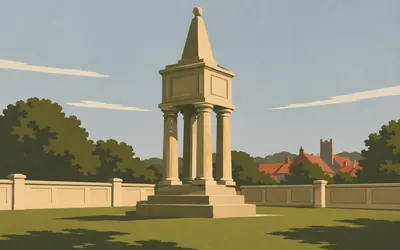
Hull's town hall, rebuilt for fourteen names
A war memorial made out of another building.
20 km (12 miles) · heritage
South Cave Market Hall
Erected in the year 1796, and it says so
A market hall, now the town hall, with a datestone reading Erected in the year 1796 and a bell tower added in 1897. Historic England lists it at Grade II: yellow brick, three arches fronting a loggia, and a baroque dome carrying a ball finial and a weather-vane.
29 km (18 miles) · heritage
St Nicholas, North Newbald
Norman nave, transepts and doors
A cruciform Norman church, listed at Grade I, with nave, transepts and the lower stage of the crossing tower dated to about 1140 and a fifteenth-century chancel. Over the south door Historic England records a vesica containing a fine Christ in Majesty, and notes that the nook-shafts carry a large number of incised crosses.
33 km (21 miles) · heritage
The Arras barrows
Nine mounds and no description
Historic England schedules nine round barrows in these fields and publishes nothing else about them at all: the record is one of the oldest kind on the list, a name and a grid reference. They are not alone either. Two kilometres on, its list carries eleven more scheduled barrow entries, every one within a mile of the trail.
38 km (23 miles) · heritage
All Hallows, Goodmanham
Where Coifi is said to have burned the temple
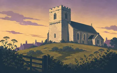
A small Norman church with a crenellated parapet of grotesques and gargoyles, standing above the village on ground Historic England ties to an older temple.
- Historic England records that the church is almost certainly on the site of a pagan temple burnt by the high priest Coifi, citing Bede for the year 627.
- The list entry dates the nave to the early twelfth century and the tower to the late twelfth.
- One of the church's two fonts is dated 1530 and carries a long inscription naming its donors.

41 km (26 miles) · heritage
Londesborough Park
Robert Hooke, wholly or partly
About two hundred hectares of parkland on the south-west edge of the Wolds, registered at Grade II star, with gardens first laid out for the first Lord Burlington.
- Historic England's register credits the late seventeenth-century gardens wholly or partly to Robert Hooke.
- The third Lord Burlington preferred Londesborough to any of his other country seats.
- George Hudson bought the estate in 1845 and sold it to Lord Albert Denison, who recreated the parkland and restored the lakes.
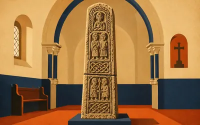
46 km (28 miles) · heritage
The Nunburnholme Cross
Two fragments, fitted back together
Under the tower arch of St James's stands a cross-shaft of about the year 1000, made of two fragments fitted together.
- Historic England dates the carved cross-shaft under the tower to about the year 1000.
- It survives as two fragments fitted together, carved with figures, foliage, pelta-like shapes and beasts.
- The Benedictine priory of St Mary nearby was dissolved in 1536, with a prioress and five nuns living there.
51 km (32 miles) · heritage
St Margaret's, Millington
Saltire crosses cut into the doorway
A Grade I church with a twelfth-century nave and a fourteenth-century chancel, its south door carried on columns, one of them incised with saltire crosses. Two medieval cross bases stand scheduled in the churchyard and Historic England is blunt about them: not in good condition, but typical of small medieval standing crosses.
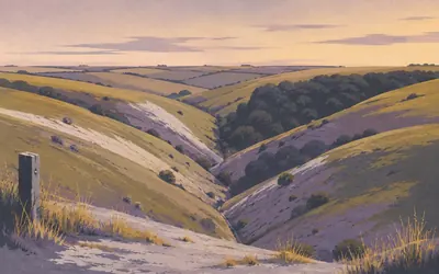
55 km (34 miles) · nature
Millington Wood and Pastures
The finest dry valley system in England
Chalk carries no rivers on its back, because the water goes straight down through it.
- Natural England's citation calls this the finest dry valley system in England.
- The site covers 335.4 hectares and was first notified in 1954.
- Millington Pastures is identified in the Geological Conservation Review as nationally important for its karstic landforms.
60 km (37 miles) · heritage
St Mary's, Huggate
Old rooflines it did not bother to hide
Grade I, with a twelfth-century nave and aisles and an early fourteenth-century west tower carrying a recessed spire in three tiers of crocketing. Historic England notes at least two earlier rooflines still readable in the stonework above the tower arch, which is a building admitting in public that its roof has changed at least twice.
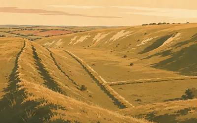
62 km (39 miles) · heritage
Horse Dale and the Wolds dykes
The trail is the older road
Three dry valleys meet here, and so do the earthworks.
- Historic England schedules four sections of Bronze Age linear boundary bank and ditch where Horse Dale, Holm Dale and Harper Dale meet.
- The scheduling records that the surviving part of the ancient trackway beside the dykes forms the present-day Wolds Way.
- Natural England notifies Horse Dale and Holm Dale separately: 42.3 hectares of unimproved chalk grassland in two adjacent dry valleys.
64 km (40 miles) · heritage
St Mary's, Fridaythorpe
Time is short, Eternity is long
Twelfth-century in origin, with a south door and chancel arch of about 1140 and a tower of about 1190. The alterations of 1902 to 1903 were made by C Hodgson Fowler for Sir Tatton Sykes, and the wooden clock on the tower, dated 1903, is inscribed: Time is short, Eternity is long.
70 km (44 miles) · heritage
St Mary's, Thixendale
The same patron, one dale over
Built between 1868 and 1870 by G E Street for Sir Tatton Sykes, with a vestry added in 1875: the same patron as the work at Fridaythorpe up the road. High Victorian Gothic, Grade II star, a carved wooden screen of 1873, and, the east window apart, most of the glass by Clayton and Bell.
72 km (45 miles) · heritage
Vessey Pasture cross-dyke
Four dykes, defined as four for tidiness
A cross-dyke running up the northern slope of the dale: a five-metre ditch, up to half a metre deep, between two five-metre banks. At the foot of the slope it is cut by a second dyke along the valley floor and meets two more. Historic England defines them as four for clarity, three separately scheduled, though on the ground they simply abut.
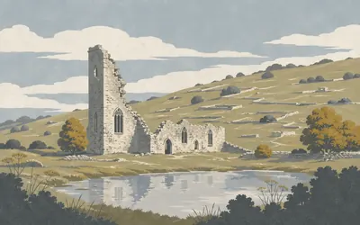
76 km (47 miles) · heritage
Wharram Percy
Forty seasons of digging one empty valley
A village that stopped.
- Historic England calls Wharram Percy one of the best known and most intensively studied deserted villages in England.
- Partial excavation ran from 1950 to 1990, the programme's fortieth and final season, and most of the site is still undisturbed.
- Historic England says more than 2,000 deserted medieval villages are recorded nationally.
79 km (49 miles) · heritage
St Mary's, Wharram le Street
Argued over in print since 1923
Grade I, and the dating of its core is argued over. The tower and nave carry early twelfth-century insertions, the south porch has a Norman door of five orders, and Historic England's entry leaves the tower and nave undated, sending readers instead to Bilson's 1923 paper comparing this church with St Rule's at St Andrews, and to H M and Joan Taylor's Anglo-Saxon Architecture.
85 km (53 miles) · landmark
Settrington Beacon
Named for a fire nobody records
A round barrow on the high ground above Settrington, scheduled by Historic England under one of its oldest records: a name, a grid reference, no description at all. The name says beacon and the ground agrees with it. No custodian publishes a word about any fire ever lit up here.
88 km (55 miles) · nature
Wintringham Marsh
Five hectares of what is left
Natural England's citation says agricultural reclamation reduced the marsh, and that the site is no longer thought to merit the place it once held in the Nature Conservation Review. Then it lists what survives anyway: black bog-rush, bog bean, marsh valerian, bog pimpernel and four sedges, in five and a half hectares.
90 km (56 miles) · heritage
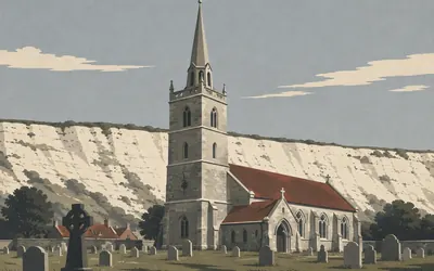
St Peter's, Wintringham
Sixpence for breaking a stay
A big Grade I church at the foot of the scarp, with a recessed octagonal spire and a parapet of wavy tracery and armorial bearings.
- Historic England lists a series of fifteenth-century stained-glass saints in the tracery of every nave and aisle window.
- A painted board of 1723 in the tower fines bellringers sixpence for breaking a stay, and sixpence again for ringing in spurs.
- The memorial to John Lister, who died in 1651, is written as an acrostic.
96 km (60 miles) · nature
East Heslerton Brow
Valleys cut by the hill giving way
Forty hectares of chalk grassland on the north-facing escarpment, which Natural England calls unusual physiographically: the spurs and small valleys here were made by land-slipping rather than by water. Purple milk-vetch grows on it, and five species of orchid, frog and bee among them.
105 km (65 miles) · heritage
St Nicholas, Ganton
Scallop shells at the foot of every pier
Fourteenth century, listed Grade II star, with a fifteenth-century tower and an octagonal spire recessed behind an embattled parapet. Historic England notes the column bases inside are carved with scallop shells and the capitals alternately with fleurons and rosettes, and that a cockerel sits on top as the weathervane.
115 km (71 miles) · heritage
The Camp
That is the whole of its name
A scheduled monument whose official list name, in full, is The Camp. The record is one of Historic England's oldest: a name, a grid reference, a scheduling and no description of any kind. The trail passes twenty metres from whatever it is.
122 km (76 miles) · engineering
Filey Railway Station
A train shed of 1846
Built in 1846 by G T Andrews and listed Grade II star: red brick in English bond, an entrance range and a train shed behind it, the shed roofed in slate on diagonal rafters laid over iron trusses of five vertical struts.

124 km (77 miles) · landmark
Carr Naze
Where two National Trails run out of land
The trail ends on the grass neck of a headland with a long finger of rock running out into the sea beyond it.
- Historic England's scheduling for the Roman signal station on Carr Naze carries no description at all.
- Natural England calls Filey Brigg a key Corallian site with the most extensive exposures through the Lower Calcareous Grit, the Hambleton Oolite and Middle Calcareous Grit.
- Purple sandpiper winter on the Brigg's shoreline in nationally significant numbers.
Take on Yorkshire Wolds Way and collect these places as you reach them
Common questions
How do my walks and runs count towards Filey Brigg?
Connect your tracker once and the rest looks after itself: everything Strava or Apple Health records moves you north from Hessle towards the coast. A runner at 40 km a week reaches Filey Brigg in about three weeks, and a walker at 30 km a week in about four.
Do I have to be in East Yorkshire?
No. The Wolds Way is a distance to cover, so any pavement, park or treadmill moves you along it. The real trail is one of England's quietest, which is hard to replicate on an urban commute, but the 124 km to the clifftop at Filey Brigg is the same distance wherever you cover it.
How long does it take to walk?
At 30 km a week you finish in around four weeks, and 50 km a week brings the coast in sight inside three. The finish date is up to you when you set the rally up.
Is the Yorkshire Wolds Way less known than other National Trails?
Yes, and that is part of its appeal. The Wolds are a genuinely quiet area of England, so the trail sees far less traffic than the South Downs Way or Pennine Way, which makes it a great pick if you want something a little different.
Start your Yorkshire Wolds Way Conquest
Joining is free. Connect Strava or Apple Health once and every ride, run or walk you record syncs automatically, moving you along the route without anything else to log.