Conquer the Virtual Vía de la Plata Challenge: Walk the Silver Way from Home
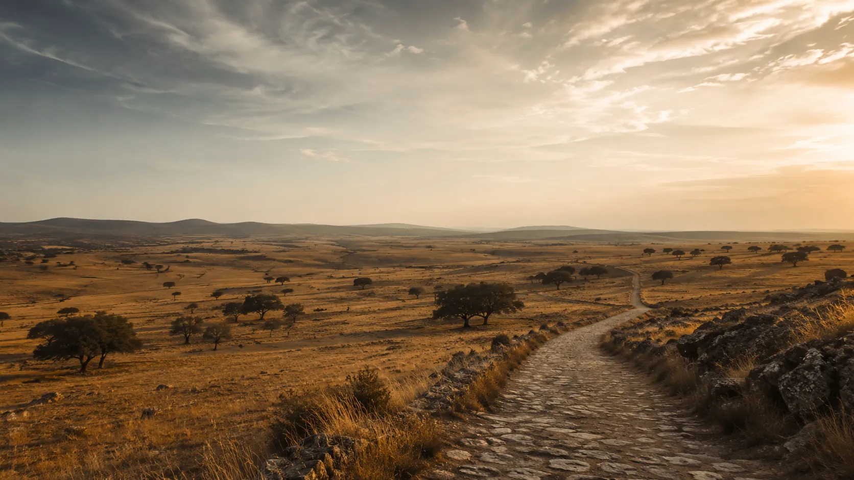
Walk the longest of the Camino de Santiago routes from wherever you already move. The Vía de la Plata, or Silver Way, runs about 968 km (roughly 601 miles) the length of western Spain from Seville through Extremadura and Castile before turning west to Santiago de Compostela, and Route Rally turns every synced walk, run or daily step into progress along it. An epic, quieter pilgrimage, it is the route for those who want the Camino at its most expansive.
Part of the Camino de Santiago series
- Route: Vía de la Plata
- Distance: 968 km
- Elevation gain: 9000 m
- Epic long-distance pilgrimage
- Best for: Walkers wanting an epic goal, year-long steps targets, and long rallies of your own
Planning your challenge
A walker averaging 30 km/week reaches Santiago in roughly seven to eight months; at 50 km/week it comes inside about five months.
This is a Long route by Route Rally distance bands, the epic of the Camino series and a true multi-month commitment.
Works well as a long-term identity goal for committed walkers and steps challengers.
Create your own rally for a personal long-distance pilgrimage, solo or with a group to share the journey.
Why this route
- The Vía de la Plata, or Silver Way, is the longest Camino, following an old Roman road the length of western Spain.
- The Route Rally route runs about 968 km (601 miles) from Seville through Extremadura and Castile, turning west on the Sanabrés to Santiago de Compostela.
- Quieter and more remote than the French Way, it has a distinct identity as the epic, expansive pilgrimage.
- As a virtual challenge you cover the distance in your own time, so steady everyday walking and steps all count towards Santiago.
- It anchors the long end of the Camino de Santiago series as a multi-month identity goal.
Highlights
- Start at Seville Cathedral and pass the Roman city of Itálica
- Cross the dehesas of Extremadura through Zafra to the Roman theatre and aqueduct at Mérida
- Carry on by Cáceres and the arch at Cáparra to Salamanca and its Plaza Mayor
- Pass Zamora, then turn west at Granja de Moreruela onto the Sanabrés route
- Climb through Puebla de Sanabria and Ourense to the cathedral of Santiago de Compostela
Places along the route
Every place below is measured onto the route line, so the distance shown is where you actually reach it.
Places are researched from published sources. The distances are measured rather than estimated: we find the point on the route's own recorded line that lies nearest the place, and give the distance along the route to that point.
Seville, the Aljarafe and the Sierra Norte
0–85 km · 7 places
0 km (0 miles) · heritage
The Archive of the Indies
A merchants' exchange that became a paper empire
A square Renaissance block designed by Juan de Herrera, who finished the Escorial. It went up as the merchants' exchange and became the archive of Spain's American empire two centuries later. The ministry that runs it gives 1585 and 1785 on one page and 1583 and 1784 on another, so both pairs are recorded here and neither is chosen.
0 km (0 miles) · landmark
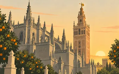
Seville Cathedral
Kilometre zero, Andalusia
Nine hundred and sixty-eight kilometres begin under the largest Gothic building in Europe, which is the Ministry of Culture's own claim and its own scope.
- The Ministry of Culture calls it the largest Gothic building in Europe, its five naves being the reason.
- The Giralda is an Almohad minaret; Hernán Ruiz added the Renaissance belfry in the sixteenth century.
- No authority publishes a height for the tower, so none is given here.
6 km (3 miles) · heritage
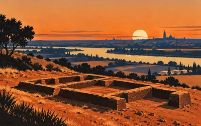
El Carambolo
Twenty-one pieces of gold, in a bank
In 1958 the ground on this hill above the river gave up twenty-one hollow pieces of worked gold weighing 2,950 grammes between them.
- The treasure is twenty-one hollow gold pieces weighing 2,950 grammes in total.
- The 2016 declaration says it is held in a bank safe in Seville and refuses to say where.
- The declared archaeological zone covers 29,450 square metres.
11 km (7 miles) · heritage
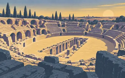
Itálica
A Roman city, and its third-largest arena
Scipio settled his veterans here in 206 or 204 before Christ, and the Junta's own decree writes both years rather than choosing.
- The Junta's declaration calls the amphitheatre the third largest known by its dimensions.
- The founding is dated 206 or 204 BC; the decree writes both and picks neither.
- Arabic sources of the twelfth century call the place Taliqa.
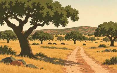
42 km (26 miles) · landmark
Castilblanco de los Arroyos
An obligatory passage, the town says
The dehesa starts somewhere in the long climb out of the Guadalquivir plain, and this is the town at the top of it, in the first foothills of the Sierra del Pedroso.
- The Andalusian heritage register holds no protected building in this municipality.
- The town calls itself an obligatory passage on the old Ruta de la Plata.
- It stands in the first foothills of the Sierra del Pedroso.
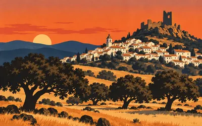
70 km (43 miles) · landmark
Almadén de la Plata
Half the road's name, and none of the silver
The town shares half its name with the road, and the road does not get its name from silver.
- The Junta declared the surrounding natural park on 28 July 1989; it covers 177,484 hectares.
- UNESCO ratified its Global Geopark label on 17 November 2015.
- No authority read explains the town's name or publishes anything on its Roman marble.
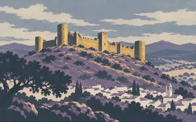
85 km (53 miles) · heritage
El Real de la Jara Castle
The highest point of the village
The last castle in Andalusia.
- The regional inventory dates it to an advanced stage of the fourteenth century, as Christian work.
- It stands on what the inventory calls the highest point of the settlement.
- It is a protected monument under the 1949 decree that covered every castle in Spain.
Into Extremadura: the sierra and the Tierra de Barros
104–195 km · 4 places
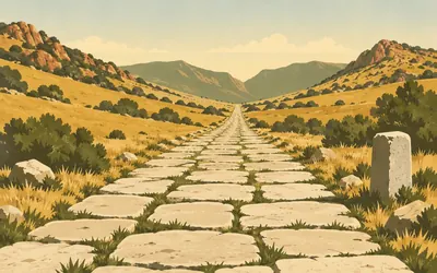
104 km (65 miles) · landmark
Monesterio
Where the road admits it is lost
Extremadura opened a file in November 1997 to make the whole Roman road a protected historic site, fixed its width at seven metres with six more of buffer on each side, and then never finished.
- The 1997 order was only ever an opening of the file; it was never resolved into a declaration.
- It protects a seven-metre road width plus six metres of buffer on each side.
- The Junta derives "Plata" from the Arabic balata, a road laid with large stone slabs.
148 km (92 miles) · heritage
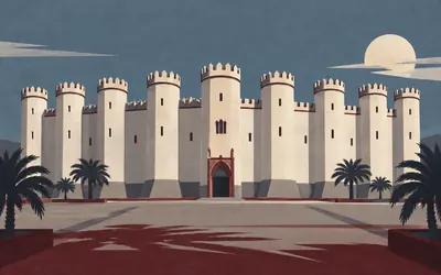
The Alcázar of Zafra
A castle you can book a room in
The road runs into a town the 1965 declaration calls one of the oldest in Extremadura, founded by Celts according to a nineteenth-century historian the decree is content to name and lean on.
- The 1931 decree names it in three words and describes nothing.
- The 1965 declaration calls Zafra one of the oldest towns in Extremadura, crediting the historian Viu.
- It has been a state Parador since long before the 1988 decree that names it as one.
183 km (114 miles) · heritage
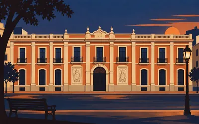
El Obrero Extremeño
A workers' society that built itself a palace
On Christmas Eve 1895 the craftsmen of Almendralejo founded a mutual-aid society.
- The society was founded on 24 December 1895 and the building opened on 8 December 1930.
- Its two inscribed panels name both presidents, and the 1995 decree transcribes them.
- The façade is twenty-three metres long and the building fills an entire block.
195 km (121 miles) · heritage
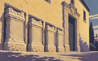
Casa-Palacio de los Lastra
Four Roman altars set in a wall
Four Roman funerary altars are built into the wall of this house, and the decree that protects it reads the names off them: Lucius Juvenius Anianus, Ancarius Septimianus, Julius Patroclus, and the son of Aemilius Prudentianus.
- Four Roman funerary altars are set into the walls; the decree names all four dedicatees.
- The building is documented from the fifteenth century as the Torre de los Mojicones.
- No authority connects the house to Cela's novel, so this card does not either.
Mérida: Augusta Emerita
211–217 km · 6 places
211 km (131 miles) · engineering
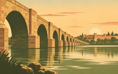
The Roman Bridge, Mérida
Sixty arches over the Guadiana
Seven hundred and ninety-two metres of bridge on sixty arches, with relieving arches between them for the flood, and since 1993 nothing crosses it but feet.
- The bridge is 792 metres long on sixty arches, per its custodian.
- It has been pedestrian only since 1993.
- The World Heritage property counts 29 elements across 36.87 hectares.
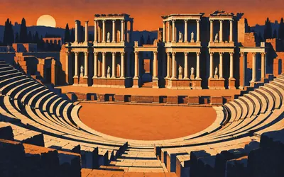
211 km (131 miles) · heritage
The Roman Theatre
Agrippa's gift, 16 BC
Marcus Agrippa paid for it and it opened in 16 or 15 before Christ, six thousand seats cut into the hillside facing a stage front two storeys high in marble columns.
- The custodian dates the opening to 16-15 BC and names Agrippa as the promoter.
- The seating held six thousand.
- Its custodian calls it the most representative element of Mérida's monumental ensemble.
211 km (131 miles) · heritage
The Temple of Diana
Wrongly named, and saved by a palace
It was never Diana's. The custodian is blunt about it: the name is a seventeenth-century habit, and the temple was consecrated to Rome and to the Emperor. What saved it is the oddest thing about it. A knight of Santiago built his palace straight through the colonnade in the sixteenth century, and the walls he raised are why the columns are still standing.
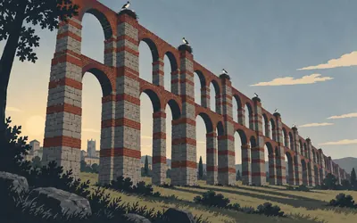
212 km (132 miles) · engineering
Acueducto de los Milagros
Granite and brick, in stripes
The road out of Mérida runs under it, and it is the thing people photograph and cannot explain.
- It carried water from the Proserpina reservoir to a distribution tower in the city.
- The arches combine granite and brick, which is what gives the piers their stripes.
- No authority publishes a height or a pier count, so neither is given.
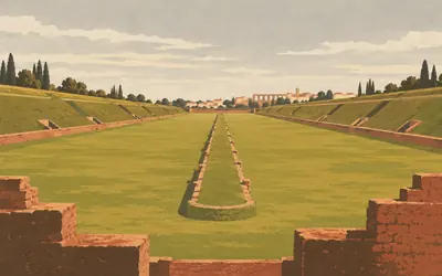
212 km (132 miles) · heritage
The Circus
Thirty thousand, on the road out
Outside the walls, beside the road north, because thirty thousand people arriving for the races were never going to fit inside a city.
- Its custodian calls it the largest Roman entertainment building in Mérida.
- The seating held about thirty thousand and the arena covers 30,000 square metres.
- No authority publishes a track length, so none is given.
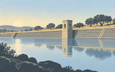
217 km (135 miles) · engineering
The Proserpina Reservoir
A Roman dam, four hundred metres of it
Four hundred and twenty-five metres of Roman dam, twenty-one metres deep, built as a stepped slope facing the water.
- The dam is about 425 metres long and 21 metres deep, built as a stepped upstream slope.
- It supplied the Acueducto de los Milagros and through it the city.
- No authority states whether it is still part of any water supply.
North out of Mérida: Alcuéscar, Cáceres and the mansiones
245–283 km · 4 places
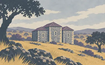
245 km (152 miles) · heritage
Santa Lucía del Trampal
Standing since the Visigoths, and unwritten
It stands alone on a hillside above the road, three horseshoe apses under a low roof, and it is a protected monument of Extremadura declared in October 1983.
- It is a Monumento of Extremadura, declared on 5 October 1983.
- No heritage register, ministry or municipality reachable publishes any description of it.
- The dating and the reused altars are widely repeated and unsupported by any authority read.
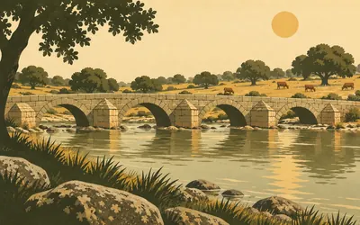
271 km (168 miles) · engineering
La Puente Mocha
Milestone thirty-six from Mérida
The name means the blunt bridge, or the docked one, and it carries the road over the Salor in a stretch of open dehesa with no village anywhere near.
- Milestones of the thirty-sixth mile from Mérida were found about 1,200 m south of the bridge.
- The 1997 order calls the bridge "de origen romano", Roman in origin, not simply Roman.
- It is one of six historic bridges listed by name in that order's Anexo III.
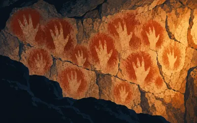
282 km (175 miles) · heritage
Maltravieso Cave
Hands with no little finger
A limestone cave inside the city's southern edge, found in 1951 when a quarry broke into it.
- The 1963 decree records that every stencilled hand lacks the little finger.
- Its only comparison is Gargas in the Pyrenees, where several fingers are missing instead.
- No authority text read gives an age in years for the paintings.
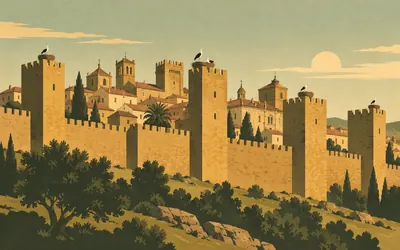
283 km (176 miles) · heritage
The Old Town of Cáceres
Twelve hundred metres of Almohad wall
The Romans put a town on this quartzite shelf in the first century before Christ and called it Norba Caesarina.
- The Roman town here was Norba Caesarina, founded in the first century BC.
- The Ministry gives the walled circuit as about 1,200 metres, Almohad over a Roman origin.
- The old town was inscribed on the World Heritage list in 1986.
The Tagus, Cáparra and the climb to the pass
321–434 km · 7 places
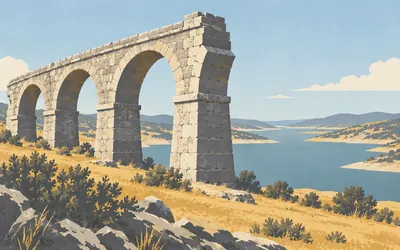
321 km (200 miles) · engineering
The Alconétar Bridge
Taken apart and put somewhere else
The Tagus was dammed and the crossing went under, so the bridge was dismantled and rebuilt above the new water line.
- The bridge was moved from its original site when the Alcántara reservoir filled; no authority gives the year.
- Three milestones of the age of Augustus and Nero were found there, one reading LXII; all are now lost.
- The Torre de Floripes, a castle on the Roman fort guarding the crossing, is under the water.
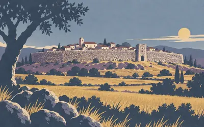
356 km (221 miles) · heritage
Galisteo
A wall of river cobbles, eleven metres high
The wall goes right round the village and it is built of river cobbles set in earth and lime, three metres thick and eleven high by the town's own reckoning, with three gates left.
- The town gives its wall as 3 m thick and 11 m high, of earth, lime and river cobble.
- The mansio Rusticiana lay in the fields below, twenty-two Roman miles from its neighbours.
- A Roman fort at Las Brujas guarded the road and the staging post together.
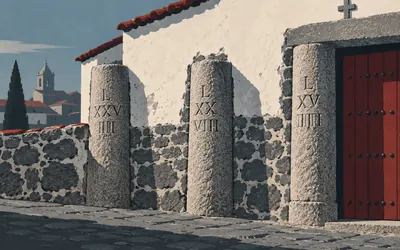
367 km (228 miles) · heritage
Carcaboso
Six milestones in the village walls
Six Roman milestones stand in this village, and none of them stands where it was put.
- Six reused Roman milestones survive in the village streets, three of them built into walls.
- The 1997 order reads their numerals as CII and CIII.
- A further milestone of the Severan age was found beside the Jerte crossing north of the village.
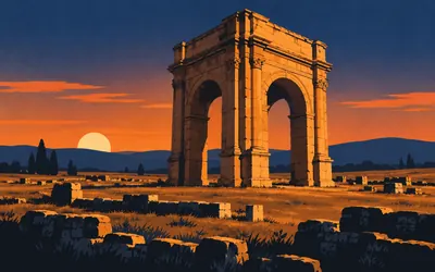
387 km (241 miles) · heritage
The Arch of Cáparra
Four ways through, in the middle of a town
A Roman town on a plain with nothing else on it, and in the middle of the town an arch open on four sides, standing where two streets crossed.
- The arch is dated to the first half of the second century and stands at a street crossing.
- Cáparra was made a Flavian municipium in AD 74 or 75.
- Milestone CX of Nero's reign, marking 110 miles from Mérida, was found beside it and lies in three pieces.
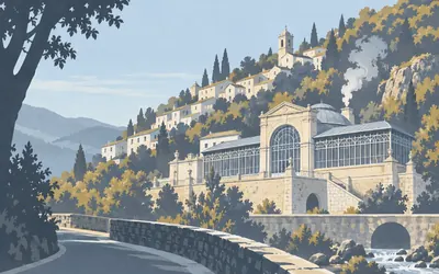
422 km (262 miles) · heritage
Baños de Montemayor
The last staging post in Extremadura
Hot water comes out of the hill here and the Romans built baths over it, which is what the village is named for and still lives on.
- The state identifies the place with Caelionicco, the last mansio of route XXIV in Extremadura.
- It hedges that identification as the most defensible thesis rather than a finding.
- Roman inscriptions to the protecting nymphs were found in the streets of the town.
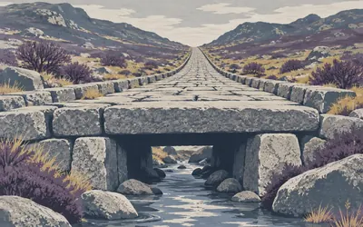
426 km (264 miles) · heritage
The Puerto de Béjar
Two kilometres of road, under later paving
The road climbs from the baths in a straight line to the provincial boundary, and this is the two kilometres everybody photographs: big slabs, kerbs, a Roman road you can put your hand on.
- The state records the visible paving as a modern surface laid in restoration works in 1973.
- At the provincial boundary a Roman culvert 5.30 m wide is roofed with vaulted granite beams.
- No authority read calls this the best-preserved stretch of the road, so this card does not either.
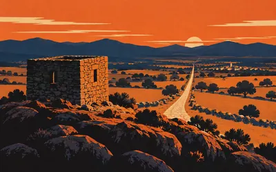
434 km (270 miles) · viewpoint
Calzada de Béjar Castle
Built to watch the road below it
A small fort on a knoll, twenty-eight metres by twenty-seven, granite rubble with dressed stone at the corners, and the register is unusually direct about why it is there.
- The register gives the plan as 28.83 by 26.80 metres and calls it not quite a perfect square.
- It states outright that the fort was built to protect and control the road below it.
- Its late-Empire dating rests on defensive reasoning and on two nearby milestones of Septimius Severus.
Salamanca
509–510 km · 5 places
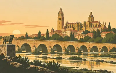
509 km (316 miles) · engineering
The Roman Bridge, Salamanca
The road's own bridge, and no text
This is the bridge the whole road was built to reach, and its own heritage record is blank.
- The regional heritage register publishes no description of this bridge at all.
- It has been a protected monument since March 1998.
- The Ministry's World Heritage citation names the Vía de la Plata as crossing the old city.
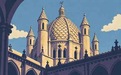
509 km (317 miles) · landmark
The Old Cathedral
A dome of scales, and a rival
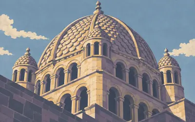
The tower they call the cockerel is the reason to stand in the courtyard: a ribbed dome on two tiers of windows, with slim round turrets round it and roof panels covered in stone scales, like a fish.
- Salamanca's own register dates its dome to 1180-1200 and says Zamora's, finished in 1174, came first.
- The exterior panels of the dome are covered in overlapping stone scales.
- Building began in 1149 over an earlier church and finished about 1289.
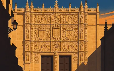
509 km (317 miles) · heritage
The University of Salamanca
Bologna, Paris, Oxford, Coimbra and this
Founded by Alfonso IX around 1218, given its charter by Alfonso X in 1254, and granted degrees valid anywhere by Pope Alexander IV.
- The register groups it with Bologna, Paris, Oxford and Coimbra as one of the most famous in Europe.
- Alfonso X gave it its charter in 1254 and Alexander IV made its degrees universally valid.
- Degrees were conferred in the old cathedral's chapel of Santa Bárbara until 1843.
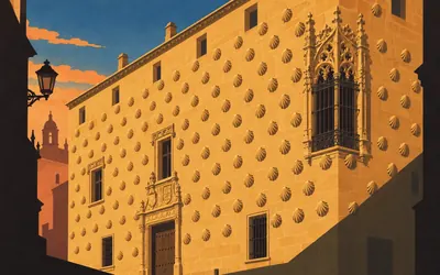
510 km (317 miles) · heritage
Casa de las Conchas
Shells, lilies and a hypothesis
Three hundred and something scallop shells carved across a house front on the pilgrim street, and the register explains them as heraldry rather than as pilgrimage: the shell is the Pimentel badge, and inside the courtyard the cresting carries the fleur-de-lis of the Maldonado who owned the place.
- The register reads the shells as the Pimentel badge and the courtyard lilies as the Maldonado one.
- It suggests a marriage of about 1517 as the reason and then calls its own reading a hypothesis.
- Its dating is contested within the same record, between the 1490s and the early 1500s.
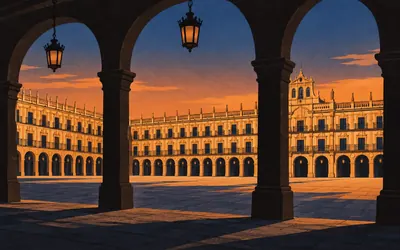
510 km (317 miles) · landmark
The Plaza Mayor
The finials were never put on
Three storeys of arcade all the way round a square you cannot see out of, begun on 10 May 1729 and substantially finished in 1755.
- Work began on 10 May 1729 and the square was substantially finished in 1755.
- The register records that the intended tower finials were never made.
- The town hall's bell gable was not erected until 1852.
North to the Duero
531 km · 1 place
531 km (330 miles) · heritage
Castillo del Buen Amor
The wrong bishop, for two centuries
A moated brick castle in open wheat, and the name means good love, which is why everybody tells the same story about a fifteenth-century archbishop and his mistress. The register says that is the wrong Fonseca, traces the story to a modern pamphlet it calls far from the historical record, and names a different bishop, a different woman and a legitimised son who became the first lord here.
Zamora
574–575 km · 3 places
574 km (356 miles) · landmark
Zamora Cathedral
Consecrated twenty-three years in
The bishop who laid the first stone in 1151 was still alive to consecrate the building twenty-three years later, and the register remarks on how rarely that happens.
- Bishop Esteban laid the first stone in 1151 and consecrated the east end twenty-three years later.
- The register rejects the idea that Moreruela influenced it, because Moreruela is later.
- Salamanca's own record dates this dome to 1174 and says Salamanca's came after it.
574 km (356 miles) · landmark
Zamora
Where the Duero road crosses this one
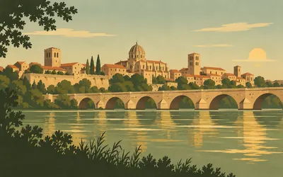
Two roads made this town: the Duero running east to west and the Silver Way running south to north, and the Junta calls the second one the principal way of human contact across the western meseta.
- The register calls the Ruta de la Plata the principal way of human contact across the western meseta.
- The Roman crossing was the ford of the Campa de la Verdad, where the Duero ran slow and shallow.
- No authority read calls Zamora the largest Romanesque concentration in Europe, so this card does not.
575 km (357 miles) · heritage
Santa María la Nueva
Burned over a trout, 1158
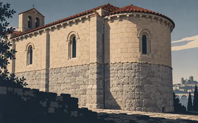
In 1158, the register says, and it thinks the date is right, a tradesman's son and a knight's steward wanted the same trout in Zamora market.
- The register dates the trout riot to 1158 and endorses that dating.
- The apse and south wall are the fabric it says survived the fire.
- Zamora was depopulated in the reprisals and pardoned on condition it rebuilt the church itself.
The Esla, the fork and the Tera valley
602–660 km · 6 places
602 km (374 miles) · heritage
Castrotorafe
A bridge of twelve arches, all down
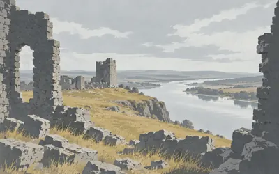
A walled town on a bluff over the Esla, and there is nobody in it.
- The register gives its bridge as twelve arches, rebuilt in the twelfth century and collapsed by the mid-sixteenth.
- Alfonso VII fixed its boundary in 1129 and granted it the fuero of Zamora.
- It later belonged to the Order of Santiago; the Roman identification is hedged as some authors' view.
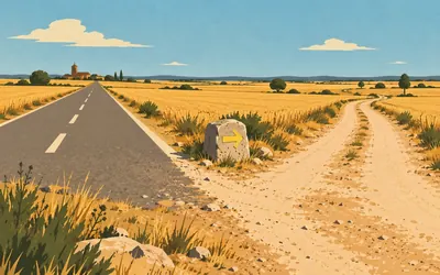
612 km (380 miles) · landmark
Granja de Moreruela
The fork, and the road you do not take
A village cut in two by the road, and the most consequential junction on the whole route.
- The Junta's tourism portal names this village as where the Sanabrés branch leaves the Vía de la Plata.
- The Roman road itself continued north from here towards Astorga.
- The village is split in two by the modern road.
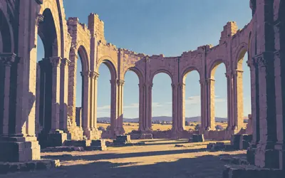
614 km (381 miles) · heritage
Santa María de Moreruela
A protected ruin with an empty file
A roofless Cistercian church in a field, and the apse is one of the great pieces of Romanesque architecture in Spain: a ring of chapels round a curved ambulatory, open to the sky.
- The heritage register's record for the abbey carries no description field at all.
- Alfonso VII gave the site to Ponce de Cabrera to found a house under the Benedictine rule.
- No authority read calls it the first Cistercian house in Spain, so this card does not either.
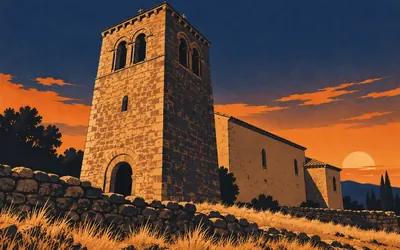
634 km (394 miles) · heritage
Tábara
The room the Beatus was painted in
In the year 970 two monks called Magius and Emeterius finished copying and painting a commentary on the Apocalypse, and then did something almost no medieval scribe did: they drew the room they had done it in.
- The Tábara Beatus is dated 970 and its illuminators are named as Magius and Emeterius.
- Its famous illustration shows the scriptorium tower the register identifies with this church.
- The surviving chamber at the tower base is entered through a Mozarabic horseshoe arch.
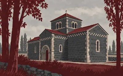
655 km (407 miles) · heritage
Santa Marta de Tera
On a branch of the road to Santiago
Slate ashlar and a lantern tower in a valley of poplars, and the register calls it an obligatory reference point for Romanesque work in the province and the region.
- The register calls it an obligatory reference point for Romanesque work in the province and region.
- It reports a pre-Romanesque origin and says at once there is not enough evidence to assert it.
- It states that the church is related to a branch of the road to Santiago.
660 km (410 miles) · heritage
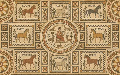
The Camarzana Villa
Orpheus, and eight horses with names
A road crew found it in the nineteenth century and sent the pieces to the museum in Zamora.
- The villa has fifteen rooms round a peristyle; the mosaic centres on Orpheus among animals.
- Eight cartouches around it carry the names of horses set in tesserae.
- The register calls inscribed mosaics scarce on the meseta and this find exceptional for that reason.
Puebla de Sanabria and the last of Castile
712–713 km · 2 places
712 km (442 miles) · heritage
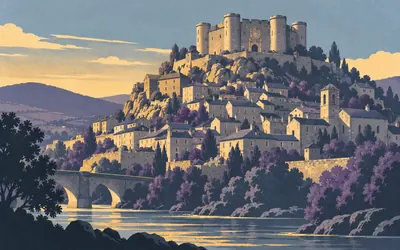
The Castle of the Counts of Benavente
Fifteenth century, municipal since 1887
A square keep with round corner towers on the highest corner of the walled town, built between 1455 and 1499 for the Pimentel counts of Benavente, possibly over an older fortress whose footings are still in the ground.
- The main construction ran from 1455 to 1499 for the Pimentel counts of Benavente.
- It passed into the town's ownership in 1887.
- Its protection file was opened in 1983 and only resolved on 17 February 2022.
713 km (443 miles) · landmark
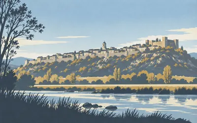
Puebla de Sanabria
Nine hectares on a kidney-shaped hill
The last town in Castile, and it is very nearly all uphill: a kidney-shaped plan of about nine hectares, six hundred metres long and a hundred and fifty across at the widest, split in two by a gully with the walled town on the north side and the suburb on the south.
- The historic town covers about nine hectares, 600 m by 150 m at its widest.
- The Junta calls the Lago de Sanabria the largest glacial lake in the Iberian Peninsula.
- Its natural park was created in October 1978 and extended in 1990 to 22,365 hectares.
Into Galicia: the Sanabrés over the mountains
768–837 km · 4 places
768 km (477 miles) · landmark
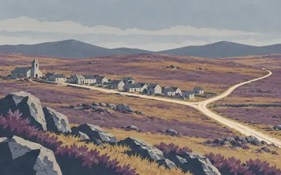
A Gudiña
Two ways to Ourense, both official
The way splits here and both halves are official.
- The Xunta names the two branches the Verea Sur and the Itinerario de Monterrei.
- Both converge again at Ourense.
- This route takes the Verea Sur, established by measuring the geometry.
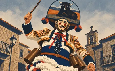
805 km (500 miles) · heritage
Laza
Fifteen kilos of carnival
For four days a year the men of this village put on fifteen kilos of costume, a mask with an animal painted on it and a metal belt of cowbells, and take the square with a whip.
- The peliqueiro costume weighs up to fifteen kilos, per Turismo de Galicia.
- Turismo de Galicia calls it one of the most traditional carnivals held in Galicia.
- The record confirms its declared status and publishes no date for the declaration.
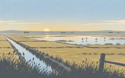
825 km (513 miles) · nature
Vilar de Barrio
The lake that was drained
The road comes down off the mountain onto a plain so flat it looks drained, because it was.
- The Lagoa de Antela covered almost four thousand hectares and was drained in the 1960s.
- Turismo de Galicia calls it one of the most important wetlands of the Iberian Peninsula.
- No authority publishes an exact year for the draining, so none is given.
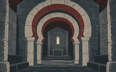
837 km (520 miles) · heritage
Santa Eufemia de Ambía
Ninth century, and horseshoes doubled
A small pre-Romanesque chapel of the ninth century with Mozarabic work in it, and the thing to look at is the arches: horseshoes, doubled, one inside another.
- Turismo de Galicia dates it to the ninth century and calls the style pre-Romanesque with Mozarabic influence.
- Its arches are doubled horseshoes, and Roman material is reused in the fabric.
- It and the Xunqueira collegiate were declared on the same day in the same 1931 gazette.
Ourense
857–861 km · 3 places
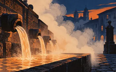
857 km (533 miles) · nature
As Burgas
Ten thousand objections, and hot water
Water comes out of the ground in the middle of the city at over sixty degrees, from an aquifer more than a kilometre down, and the city is here because of it.
- The Xunta records about ten thousand citizen objections lodged against the declaration.
- The declaring decree quotes the folk song naming As Burgas as one of the three things Ourense has.
- Turismo de Galicia gives the water as over 60 degrees, from an aquifer more than a kilometre deep.
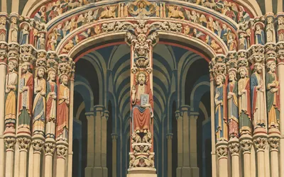
858 km (533 miles) · landmark
Ourense Cathedral
The Gloria's influence, a hundred and ten kilometres early
Inside the west door is a painted porch of the twelfth and thirteenth centuries called the Pórtico do Paraíso, and Turismo de Galicia says two things about it worth carrying.
- Turismo de Galicia says part of the porch's polychromy is original, not restored.
- It attributes the arrangement of the figures to the influence of Santiago's Pórtico da Gloria.
- No authority read connects Mestre Mateo himself to the Ourense porch.
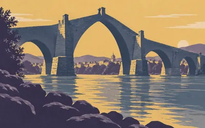
861 km (535 miles) · engineering
The Ponte Vella
What the state said in 1961, and what it says now
Three hundred and seventy metres over the Miño with a central arch forty-three metres wide and thirty-eight high, seven of its eleven original arches still standing.
- The 1961 state decree called it one of the most monumental, ancient and beautiful bridges in Europe.
- Turismo de Galicia now says only part of the base survives from the first century.
- It is 370 m long, the central arch 43 m wide and 38 high, with seven of eleven original arches.
North through Cea, the Deza and the Ulla
890–952 km · 4 places
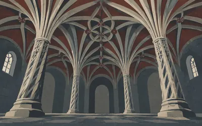
890 km (553 miles) · heritage
Oseira
The room they call the palms
A Cistercian house in a fold of the hills, and monks are still in it: a group withdrew here in 1137, joined the order in 1141 under Clairvaux, left in the nineteenth century and came back in 1929.
- Monks withdrew here in 1137 and joined the Cistercian order under Clairvaux in 1141.
- They left in the nineteenth century and returned in 1929; a European award followed in 1990.
- The chapter house is called the hall of the palms and its vaults rest on twisted columns.

914 km (568 miles) · nature
The Fraga de Catasós
Chestnuts thirty metres tall
Four and a half hectares of wood, and the trees in it are the point.
- The declared natural monument covers 4.5185 hectares at Quintela, in the parish of Catasós.
- Turismo de Galicia gives the chestnuts as 30 m tall with a girth of five metres.
- It says they are considered the finest centenary chestnuts in Europe, and keeps that hedge.
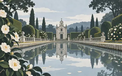
946 km (588 miles) · landmark
Pazo de Oca
The Galician Versailles, in the Xunta's own quotes
A defensive house of the late fifteenth century that turned into a Baroque farm and residence in the eighteenth, and the garden is what people come for.
- Turismo de Galicia calls the garden the oldest Baroque garden in Galicia.
- It uses the phrase "Versalles gallego" flatly, in its own quotation marks.
- The original defensive building is credited to Suero de Oca in the late fifteenth century.

952 km (591 miles) · nature
Santa Cruz de Ribadulla
Five hundred olives in a grid
Turismo de Galicia calls this the place in Galicia with the greatest number of catalogued singular trees, and the reason is a grid of olives: more than five hundred of them, planted in rank and file, and reckoned at around five hundred years old.
- Turismo de Galicia calls it the place in Galicia with the most catalogued singular trees.
- The olives number more than five hundred, planted in a grid, and are reckoned about 500 years old.
- More than two hundred varieties of camellia grow on the estate.
The last ten kilometres
960–968 km · 4 places
960 km (596 miles) · heritage
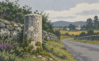
The Roman Road at Sales
Catalogued as what it is
Eight and a half kilometres from the end, a Galician parish council put the Roman road itself on its list of protected things, under the plain words calzada romana, with a two hundred metre buffer round it. That is the only place on the whole route where an authority protects the road surface as such. Three regional governments have opened files on the road and none has ever finished one.
960 km (597 miles) · heritage
The Caligula Milestone
A name, and nothing else
Eight kilometres from the finish, in a hamlet called A Gándara, a Galician parish catalogue lists a Roman milestone under the name of an emperor who reigned for four years and was murdered in the year 41.
- The municipal catalogue entry, approved on 30 January 2007, is the only authority record of the stone.
- No inscription, date or current location is published by anybody.
- A different milestone nearby, the Marco da Potra, is dedicated to Tiberius Claudius; the two are distinct.
967 km (601 miles) · landmark
Santa María a Real do Sar
A church that leans, and has since 1895
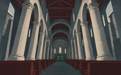
The road comes into Santiago along the Sar, and this is what stands beside it: a twelfth-century collegiate church whose interior walls and pillars lean outward so far that the first reaction is to check whether it is safe.
- It was declared a monument on 14 August 1895 and published in the Gaceta de Madrid.
- Turismo de Galicia locates its originality in the lean of its interior walls and pillars.
- No authority publishes a figure for how far out of true they lean.
968 km (601 miles) · landmark
Porta de Mazarelos
The only gate left standing
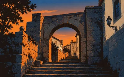
Nine hundred and sixty-eight kilometres, and the last of them go up a hill.
- The Xunta calls Mazarelos the only standing gate of Santiago's old medieval wall.
- The city catalogue records seven gates in that wall; this is the survivor.
- The official last steps run Praza da Universidade, Caldeirería, Praterías, Obradoiro.
Take on Vía de la Plata and collect these places as you reach them
Common questions
How do my walks and steps count on a route this long?
The same way they would on a short one, just across more months. Strava or Apple Health passes each activity over and it is credited straight away, moving you north from Seville. On the longest Camino the habit matters far more than any single day: 30 km a week reaches Santiago in roughly seven to eight months of ordinary walking.
Do I have to walk in Spain?
No. The Silver Way asks for its length, not your presence in Spain, so daily steps anywhere carry you up the length of western Spain on the map. The Romans built the road this Camino follows in order to link places; you are borrowing its length as a year-shaped goal, not the ground itself.
How long is the virtual Vía de la Plata?
The Route Rally route covers about 968 km, or roughly 601 miles, Seville to Santiago de Compostela via the Sanabrés, making it the longest of the main Camino routes.
How long does it take to walk?
Most people treat it as a long-term goal. At 30 km a week it works out at roughly seven to eight months, while 50 km a week brings Santiago inside five months. Set the finishing date to suit the habit you can hold.
Is this a good route for a year-long challenge?
Yes. Its length makes it an ideal year-long walking or steps project, where daily movement accumulates steadily towards an epic finish at Santiago.
Start your Vía de la Plata Conquest
Joining is free. Connect Strava or Apple Health once and every ride, run or walk you record syncs automatically, moving you along the route without anything else to log.