Virtual Shimanami Kaido Challenge
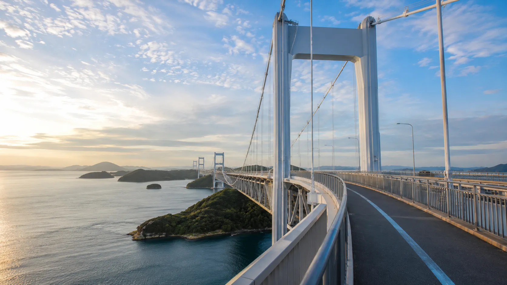
Take on one of Asia's most celebrated cycling routes from your own roads. The Shimanami Kaido runs roughly 83 km (about 52 miles) from Onomichi in Hiroshima Prefecture across six Seto Inland Sea islands to Imabari in Ehime Prefecture, crossing a series of dramatic bridges between the islands, with sea views in every direction. Route Rally turns every synced ride, run or walk into progress along this iconic Japanese crossing.
- Route: Shimanami Kaidō
- Distance: 83.2 km
- Free
- Elevation gain: 900 m
- Short, iconic island-hopping ride
- Best for: Short rallies of your own, first challenges, and quick solo or group goals
Planning your challenge
A cyclist averaging 150 km/week finishes in well under a week; a runner at 40 km/week takes about two weeks, and a walker at 30 km/week completes it in around three weeks.
This is a Short route by Route Rally distance bands, making it one of the fastest routes to complete and a natural first international challenge.
Works well as a first virtual challenge, a quick cycling goal, or a short motivating target for a group.
Create your own rally for your own Shimanami Kaido target, solo or with a group sharing one leaderboard.
Why this route
- The Shimanami Kaido is considered one of the best cycling routes in the world, covering about 83 km (52 miles) across the Seto Inland Sea from Hiroshima Prefecture to Ehime Prefecture on Shikoku.
- As a virtual challenge you cover the distance in your own time, with daily rides, runs and walks from wherever you train all counting towards the island-hopping finish.
- The short distance makes it one of the fastest routes to complete on Route Rally: a committed cyclist can finish it in a single week of normal training.
- Its international setting gives it a distinctive character, and it is a useful gateway route for those planning or dreaming about cycling in Japan.
- The gentle, short profile also makes it an accessible first challenge for those new to virtual route goals.
Highlights
- Start at Onomichi in Hiroshima Prefecture, a hillside port city on the Seto Inland Sea
- Cross the first of the island bridges onto Mukaishima Island
- Island-hop across Innoshima, Ikuchijima, Omishima and Hakatajima
- Finish at Imabari in Ehime Prefecture on the island of Shikoku
Places along the route
Every place below is measured onto the route line, so the distance shown is where you actually reach it.
Places are researched from published sources. The distances are measured rather than estimated: we find the point on the route's own recorded line that lies nearest the place, and give the distance along the route to that point.
Onomichi and Mukaishima
0–15 km · 5 places
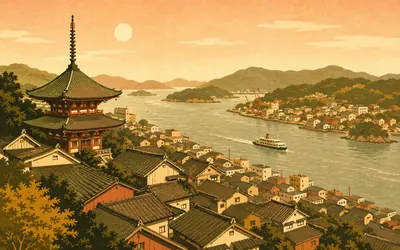
0 km (0 miles) · landmark
The Onomichi Channel
Where the road to Shikoku begins
The Shimanami Kaidō starts on the wrong side of the water.
- Onomichi City puts Senkō-ji Park's hill at 144.2 metres above the town.
- The park's PEAK observation deck reopened in March 2022.
- The Path of Literature runs through the park, its stones carved with writers' lines.
3 km (2 miles) · heritage
Jōdo-ji
Two national treasures in one courtyard
Onomichi has temples the way other towns have shops, and this is the one that stopped the state in its tracks: the main hall and the two-storey tahōtō pagoda are both designated National Treasures. By tradition the temple was founded in 616 by Prince Shōtoku, and Ashikaga Takauji is said to have prayed here on his way to a battle.
5 km (3 miles) · engineering
Onomichi Ōhashi
The old bridge, because the new one has no path
Two bridges cross the channel side by side and only one of them is any use to you. The newer one belongs to the expressway and carries no cycle or pedestrian path at all, so riders take the older bridge alongside it, National Route 317, which stood here before the island road was built. The island road's operator recommends the ferry instead, that bridge being narrow and busy.
9 km (6 miles) · nature
Mukaishima Orchid Centre
Orchids under glass at the foot of the hill
Mukaishima grows things under glass, and Onomichi City runs this free agricultural park at the foot of Takamiyama to prove it: greenhouses of moth orchids, a breeding facility raising new varieties, and a JICA partnership that brought six Indonesian growers here. It is a very odd thing to find nine kilometres into an island bike ride.
15 km (9 miles) · viewpoint
Takamiyama
The first island's high point
Takamiyama is the high ground of Mukaishima at 283 metres, and it stands inside the Setonaikai National Park, which covers most of what you can see from it. The road up is a proper climb and entirely optional. The Inland Sea from the top is islands all the way out to the haze.
Innoshima and Ikuchijima
18–41 km · 5 places
18 km (11 miles) · engineering
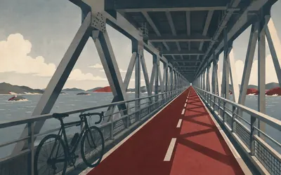
Innoshima Ōhashi
The bridge you ride inside
Every other crossing on this route puts you out on the open deck.
- The Innoshima Ōhashi opened in December 1983.
- Its cycle and moped path runs inside the bridge girder, below the road deck.
- The bridge carries the expressway above and the cycle way within the same structure.
24 km (15 miles) · heritage
Shirataki-san
Seven hundred stone faces on one hill
In 1569 Murakami Yoshimitsu, head of the Innoshima branch of the Murakami, put a watchtower and a Kannon hall on this hill to keep an eye on the strait. Two and a half centuries later a local teacher and Onomichi stonemasons carved around seven hundred stone figures across the summit, finishing in 1830. They are still up there, weathering, looking out to sea.
29 km (18 miles) · engineering
Ikuchi Ōhashi
Briefly the largest of its kind
The Ikuchi Bridge opened in December 1991, and its operator records that at completion it was the largest cable-stayed bridge in the world. Everything learned building it went into the next one. Sixteen kilometres further on you cross the Tatara Ōhashi, which held the same title when it opened in 1999.
38 km (24 miles) · heritage
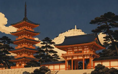
Kōsan-ji
A temple built by a son for his mother
Kōsan-ji is not an old temple pretending to be new.
- Work on Kōsan-ji began in 1935, raised by Kanemoto Kōzō in memory of his mother.
- Fifteen of its structures were registered as Tangible Cultural Properties in 2003.
- The temple's museum opened in 1953 and holds its art collection.
41 km (25 miles) · nature
Setoda's lemon groves
Half of Japan's lemons come from this prefecture
The terraces above this coast are lemons, and they are a serious crop. Hiroshima Prefecture's own figures put it first in Japan, with about half the country's lemon production and around two fifths of its planted area. Setoda sits at the heart of it. In flowering season you can smell the groves from the road.
Ōmishima, Hakatajima and Ōshima
46–70 km · 8 places
46 km (28 miles) · engineering
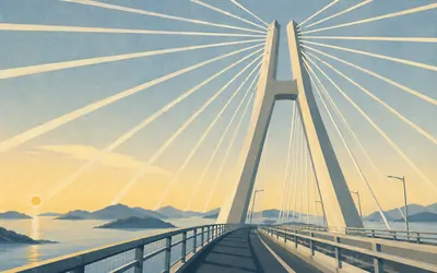
Tatara Ōhashi
Eight hundred and ninety metres in one span
This is the picture on the poster.
- The Tatara Ōhashi opened on 1 May 1999 with a main span of 890 metres.
- Its operator records that at completion it was the world's longest cable-stayed bridge.
- Its towers stand 226 metres above the sea, and it is twinned with the Pont de Normandie.
48 km (30 miles) · heritage
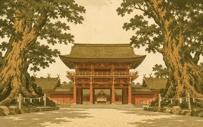
Ōyamazumi Shrine
Where warriors left their armour
For centuries, men going to war in these waters came here first.
- Ōyamazumi is the head shrine of around ten thousand branch shrines across Japan.
- It holds 8 National Treasures and 76 Important Cultural Properties.
- Japan's national heritage record puts about 40 per cent of the country's designated armour here.
53 km (33 miles) · engineering
Ōmishima Ōhashi
The first one they built
Everything on this route started here. The Ōmishima Bridge opened in May 1979, years before the rest of them, and it is still the only arch bridge in the whole Honshu to Shikoku network. It jumps the narrow Hanaguri Seto, where the tide funnels through hard enough to be worth stopping to watch.
57 km (35 miles) · landmark
Hakata S.C. Park
Halfway, more or less
A registered roadside station on the shore of Hakatajima, on the road the route follows, with a beach, a car park full of bicycles and a famously long queue for ice cream. It is the accepted rest stop on the middle stretch, and by the time most riders reach it they have earned it.
59 km (37 miles) · nature
Michikajima
The islet in the middle of the crossing
The gap between Hakatajima and Ōshima is spanned by two bridges, not one, and they meet on this small island in between. Both opened in January 1988. You can drop off the cycle path onto the islet: there is a campsite, a beach, and a view straight up at the underside of both bridges.
62 km (39 miles) · heritage
The Ōshima granite quarries
The island that gets quarried
The pale scars on the hills above the road are quarries. Ōshima granite is worked in the north of this island, and the stone trade prizes it for gravestones and fine building work: hard, close-grained, faintly blue. The observation tower a few kilometres ahead looks straight down on the working faces.
66 km (41 miles) · viewpoint
Karei-san Observation Park
A lookout built to look like a fortress
The tower on this 232 metre hilltop was deliberately shaped like a stronghold, because of what you can see from it: the Hakata to Ōshima bridges, the tide running in the channel, and the low green scrap of Noshima, where the Murakami had their castle. From the deck you can also see the Ōshima stone quarries being worked.
70 km (44 miles) · heritage
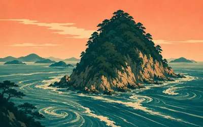
Noshima
A castle with a moat that moves
It looks like nothing: a scrap of rock and trees in a channel, small enough to walk round in ten minutes.
- Noshima was designated a National Historic Site in 1953.
- It is the only Murakami castle site carrying that national designation.
- The Murakami story of these islands was recognised as Japan Heritage in April 2016.
The Kurushima Strait and Imabari
73–82 km · 4 places
73 km (45 miles) · viewpoint
Kirosan Observatory Park
A viewpoint you cannot see
Kengo Kuma's observatory sits on a 301 metre hilltop above the Kurushima Strait, and the trick of it is that from below there is almost nothing to see: the building is sunk into the summit with planting over the top. You climb up through it, and the strait and its three bridges arrive all at once.
75 km (47 miles) · engineering
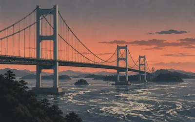
Kurushima Kaikyō Ōhashi
Three suspension bridges in a row
The last crossing is the one they saved the engineering for.
- The Kurushima Kaikyō Ōhashi opened on 1 May 1999.
- Its operator calls it the world's first three-consecutive suspension bridge.
- It is the last crossing on the Shimanami Kaidō, landing the route on Shikoku.
80 km (49 miles) · landmark
Sunrise Itoyama
The Shikoku end of the road
Sunrise Itoyama sits at the foot of the last bridge and has been the Shikoku base of this route for years: the place riders finish, hand back hire bikes and sit looking at the crossing they have just made. Everything except the cycle hire closed in March 2026 for redevelopment, with no reopening date announced.
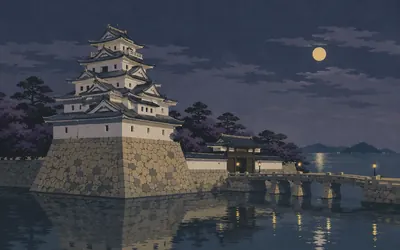
82 km (51 miles) · heritage
Imabari Castle
A castle with the sea in its moat
Tōdō Takatora started building here in 1602 and the city reckons the work was finished around 1608.
- Tōdō Takatora began Imabari Castle in 1602; the city puts completion at around 1608.
- Its moat is filled with seawater from the strait and rises and falls with the tide.
- A ship dock was built into the castle walls so vessels could enter under the keep.
Take on Shimanami Kaidō and collect these places as you reach them
Common questions
How do my rides count towards Imabari?
Each activity your tracker sends over is credited for you, moving you across the islands from Onomichi. At 150 km a week a cyclist is at Imabari in well under a week, which makes this one of the fastest finishes in the Route Rally catalogue.
Do I have to ride in Japan?
No. The islands supply the idea and you supply the mileage, so your commute and your weekend rides count towards it from anywhere. You will not get the bridges or the Seto Inland Sea views, but the 83 km between Onomichi and Imabari is the same distance from your own roads.
Why is the Shimanami Kaido so famous?
It is one of the few cycling routes in the world that crosses open sea on dedicated cycle paths over a series of major suspension bridges. The combination of dramatic bridge crossings, sea views and island culture has made it one of Asia's premier cycling destinations.
How long does it take to cycle?
At 150 km a week you finish in well under a week. The full route can be ridden in a single day by a fit cyclist, which makes it a very achievable virtual goal even at a relaxed pace.
Start your Shimanami Kaidō Conquest
Joining is free. Connect Strava or Apple Health once and every ride, run or walk you record syncs automatically, moving you along the route without anything else to log.