Conquer the Virtual Camino Francés Challenge: Walk the French Way from Home
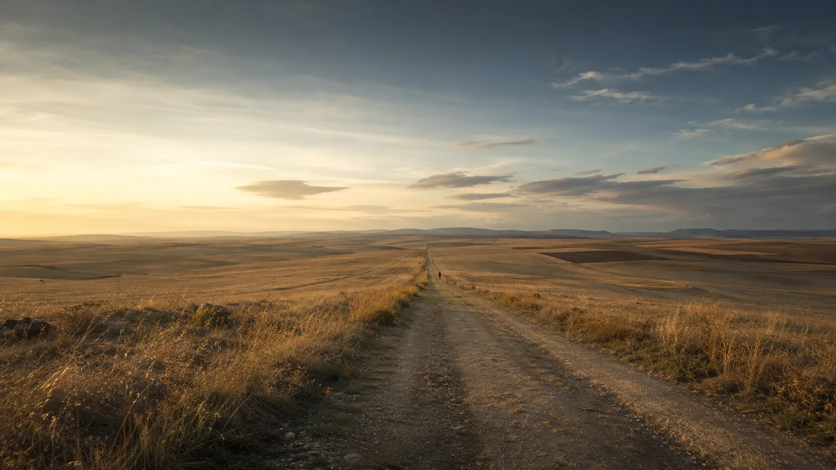
Walk the most famous of the Camino de Santiago routes from wherever you already move. The Camino Francés, or French Way, runs roughly 764 km (about 475 miles) from Saint-Jean-Pied-de-Port in the French Pyrenees to Santiago de Compostela in Galicia, and Route Rally turns every synced walk, run or daily step into progress along it. You do not have to fly to Spain or take a month off: log your steps and walks at home and watch your marker move west across northern Spain, day by day, until you reach Santiago.
Part of the Camino de Santiago series
- Route: Camino Francés
- Distance: 763.7 km
- Elevation gain: 12800 m
- Long, steady walking and steps pilgrimage
- Best for: Walkers, step-counters, daily-movement goals, and multi-month rallies of your own
Planning your challenge
A walker averaging 30 km/week reaches Santiago in about six months; a runner at 40 km/week finishes in roughly five months, while a brisk daily-steps habit makes it a natural year-long project.
This is a Long route by Route Rally distance bands, and a natural fit for the walking and steps audience who want a meaningful, story-rich goal rather than a sprint.
Works well when participants want a calm, cumulative target they can chip away at with everyday walking, hiking and steps.
Create your own rally for a personal pilgrimage at your own pace, solo or with a group to share the road.
Why this route
- The Camino de Santiago, or the Way of Saint James, is the classic pilgrim road, walked for over a thousand years across northern Spain to the shrine of Santiago de Compostela.
- The Camino Francés is the best-known route, around 764 km (475 miles) from the French Pyrenees through Pamplona, Burgos and Leon to Galicia.
- As a virtual challenge you cover the distance in your own time, so there is no need to travel to Spain or walk it in one continuous trip.
- It is culturally a walking journey, which makes it the ideal route for walkers and step-counters: daily steps, weekend walks and hikes all count towards Santiago.
- The scale and the bucket-list framing make it especially good for multi-month consistency goals and shared community walking challenges.
Highlights
- Start at Saint-Jean-Pied-de-Port in the French Pyrenees and cross to Roncesvalles
- Build distance through Pamplona, the Alto del Perdón and Puente la Reina into the Rioja vineyards at Logroño
- Cross the meseta from Burgos by Castrojeriz and Frómista to León
- Climb past Astorga and Foncebadón to O Cebreiro, the way into Galicia
- Finish through Sarria, Portomarín and Melide at the cathedral in Santiago de Compostela
- Take it on solo as a personal pilgrimage, or share it with a walking group, workplace or charity team
Places along the route
Every place below is measured onto the route line, so the distance shown is where you actually reach it.
Places are researched from published sources. The distances are measured rather than estimated: we find the point on the route's own recorded line that lies nearest the place, and give the distance along the route to that point.
The Pyrenees and the descent into Navarre
0–89 km · 9 places
0 km (0 miles) · landmark
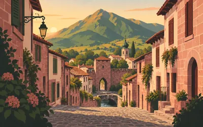
Saint-Jean-Pied-de-Port
Kilometre zero, at the foot of the pass
Seven hundred and sixty kilometres begin on a cobbled street of pink sandstone houses running downhill to a bridge.
- The French heritage register counts five pointed-arch gates in the town wall, one of them the Porte Saint-Jacques.
- The citadel was designed by Antoine de Ville and altered by Vauban in 1685.
- The ramparts were classified as a historic monument on 2 December 1986.
13 km (8 miles) · landmark
Luzaide / Valcarlos
The road this route does not take
Navarre calls the crossing this route takes the eastern variant, over Lepoeder. This village sits on the other one, the western way through Ibañeta, and from 1 November to 31 March the government shuts the high road and makes the way through here compulsory instead. Navarre describes it as the village that welcomes pilgrims coming from France towards Roncesvalles. This line never comes down to it.
24 km (15 miles) · heritage
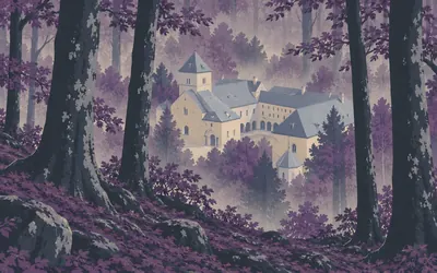
Roncesvalles
Down out of the beech woods
You come off the mountain into wet beech forest and the roofs appear all at once: a collegiate church, a cloister, a pilgrim hospital, all of it under zinc against the weather.
- The collegiate frames the Roland burial as tradition, not as record.
- The tomb of Sancho VII the Strong was installed in the chapel in 1912.
- That 1912 work marked the anniversary of Las Navas de Tolosa in 1212, not of Roncesvalles.
59 km (37 miles) · heritage
Crucero de Arleta
Twenty-seven kilometres of nothing listed
A listed wayside cross on the last rise before the Pamplona basin, and the first protected monument in twenty-seven kilometres of walking. That says more about the valley behind it than about the cross: Navarre's register holds nothing at all down the Arga between here and the mountains, not the villages, not the bridges, not one building. Ahead, the whole basin and the city in the middle of it.
64 km (40 miles) · landmark
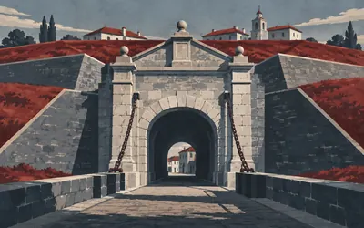
Pamplona
In through the Gate of France
The first city on the road, and you enter it properly: over the medieval bridge, along the base of the bastions, and up through the Gate of France with its drawbridge still hanging there.
- The city gives the bull run's course as 848.6 metres, from the Santo Domingo corrals to the ring.
- The word encierro was first used for it in 1856.
- The Gate of France still has its drawbridge, in a wall circuit of 16th- and 18th-century bastions.
66 km (41 miles) · heritage
La Ciudadela
A five-pointed star full of joggers
A pentagon of earth bastions thrown up in 1571 to hold the northern frontier. Pamplona's own claim for it is bold and worth quoting rather than repeating: the city calls it the oldest bastioned pentagonal fortification in the world. It is now the green lung of Pamplona, and you leave the city across it.
79 km (49 miles) · viewpoint
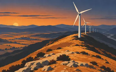
Alto del Perdón
Wind, and a great deal of it
The ridge south of Pamplona, and the first place on the road where you can see where you have been and where you are going in one turn of the head.
- The IGN's national gazetteer records the Alto del Perdón as a mountain in the municipality of Cizur.
- The IGN records it as a mountain rather than a pass, which is how the crossing reads on the ground.
- No public authority publishes a position or an inscription for the pilgrim sculpture on the ridge.
85 km (53 miles) · heritage
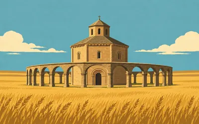
Santa María de Eunate
An octagon alone in a field
There is no village.
- Its custodians call the Templar connection more than doubtful, in those words.
- The church was built in the second half of the twelfth century.
- Navarre's register files it under Muruzábal, not under Puente la Reina.
89 km (55 miles) · engineering
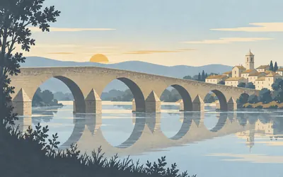
Puente la Reina
A bridge, and an argument about a queen
The town is named after its bridge and the town says so: its own history begins with the statement that the origin of the place is tied to the Romanesque bridge.
- A charter of 1122 already calls it "Ponte de Arga, que también se llama de la Reina".
- The municipality's own history names no builder for it.
- Its own account says the town's origin is tied to the bridge, not the other way round.
Navarre: the Valdizarbe, Estella and the Ebro
97–149 km · 7 places
97 km (60 miles) · engineering
Cirauqui
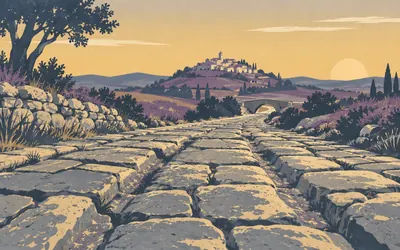
You leave town on Roman paving
Cirauqui is stacked up a cone of a hill and the Camino goes straight over the top of it, in through a Gothic arch, up between houses, out the other side.
- Navarre's register protects the bridge and the road as one asset and calls the road Roman in its own title.
- The Camino climbs through the village and leaves it on the slab causeway.
- Cirauqui is the Spanish form; the Basque name of the village is Zirauki.
110 km (68 miles) · heritage
Santo Sepulcro de Estella
A doorway with nothing behind it
A deep carved Gothic portal with twelve apostles across it, opening on to a church that has been roofless and shut for centuries. It is the first thing you meet coming into Estella and one of the strangest: an entrance that no longer leads anywhere, kept because of what is cut into it.
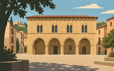
110 km (68 miles) · heritage
Estella-Lizarra
A palace that is not a church
Almost everything the Camino shows you is religious.
- The town's own wording is "la mejor muestra del románico civil de Navarra", the finest example, not the only one.
- It was built in the second half of the twelfth century.
- One capital is signed "Martinus me fecit, de Logroño" and shows Roland fighting the giant Ferragut.
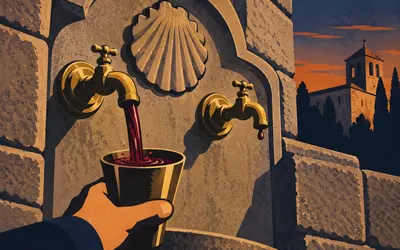
113 km (70 miles) · landmark
Monasterio de Irache
A tap, and about a hundred litres a day
Set into a wall beside the monastery are two brass taps.
- The winery fills the fountain with about 100 litres of young red a day.
- It was formally installed at the end of the 1990s, not in the middle ages.
- Navarre's heritage register files the monastery under Ayegui, not under Estella.
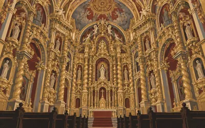
131 km (81 miles) · heritage
Los Arcos
Plain outside, unhinged inside
From the square it is a big, sober, sand-coloured church with a tower, and you could walk past it.
- The parish church is opened by volunteers from the local Camino association.
- The town publishes no date or style for it, so none is claimed here.
- Navarre's register lists it simply as Iglesia de Santa María, in the municipality of Los Arcos.
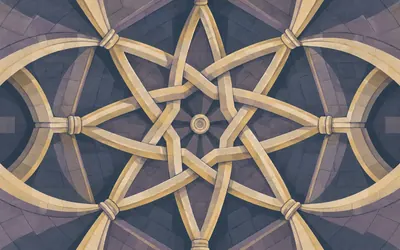
139 km (86 miles) · heritage
Torres del Río
The second octagon, and nobody official links them
Fifty kilometres after Eunate, another eight-sided church, and this one is wedged into a hillside village instead of standing alone in a field.
- Navarre's register lists this and Eunate under the same name and separates them only by municipality.
- No authority page read connects the two buildings to each other.
- The rib vault inside crosses in a pattern drawn from Islamic architecture.
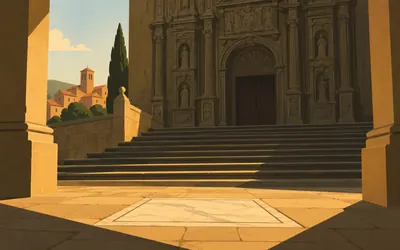
149 km (93 miles) · heritage
Viana
Cesare Borgia is under the porch
The last town in Navarre, walled, on a rise, with a Renaissance church front like a carved screen at the top of a flight of steps.
- The slab reads that Cesare Borgia died in the fields of Viana on 11 March 1507.
- It calls him commander-in-chief of the armies of Navarre and of the papacy.
- The town has walked annually to the spot where he died since 2007.
La Rioja: the Ebro, the vineyards and the causeway saint
158–215 km · 5 places
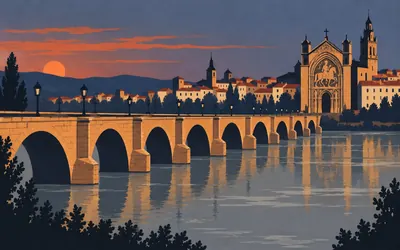
158 km (98 miles) · landmark
Logroño
Over the Ebro and into the wine
You cross the Ebro on the Puente de Piedra to get in.
- The Puente de Piedra you cross is a 17th-century rebuild by Juan de Ortega, after the earlier bridge collapsed.
- Santiago el Real was probably founded in the 11th century under García Sánchez III of Nájera.
- The fountain beside it was remade by the town in 1675 and rebuilt in 1986.
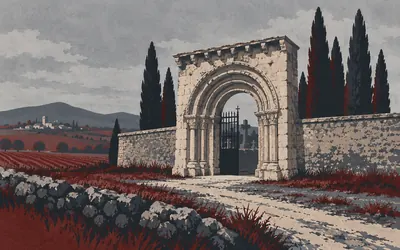
171 km (106 miles) · heritage
Navarrete
The hospital door is now the cemetery gate
On the way out of the village there is a graveyard, and its entrance is a Romanesque doorway that has no business being there.
- The cemetery gateway was moved from the ruined Hospital de San Juan de Acre in 1887.
- The hospital was founded at the end of the twelfth century.
- The parish church was built by Juan de Vallejo, master of the works at Burgos cathedral.
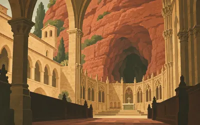
187 km (116 miles) · heritage
Nájera
A monastery built around a cave
Under a red sandstone cliff on the far bank of the Najerilla, a monastery with a royal pantheon in the low choir and, behind it, a cave.
- The monastery says its own works were finished in 1052.
- The ministry dates the carved lid of Blanca de Navarra's tomb to between 1156 and 1158.
- It was declared a Bien de Interés Cultural on 17 October 1889.
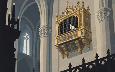
208 km (129 miles) · heritage
Santo Domingo de la Calzada
There are live birds in the cathedral
High on the wall of the nave, in a gilded coop, live poultry.
- Spain protected the miracle in 2014 as INTANGIBLE cultural heritage: the tradition, not the event.
- The ministry describes a live white cock and hen; the cathedral's own site says two hens.
- The free-standing bell tower was built between 1762 and 1766 by Martín de Beratúa.
215 km (133 miles) · heritage
Grañón
Last stop in La Rioja
The last village in La Rioja, and the pilgrims' hospital beside the parish church is still doing the job: mattresses on the floor of a shared room, no fixed price, and a rule the parish publishes plainly, that anybody who knocks will not be left without somewhere to lie down. Nobody will tell you how old it is. It is open tonight, which is the relevant fact.
Castile: the Montes de Oca, Atapuerca and Burgos
254–280 km · 4 places
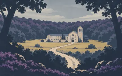
254 km (158 miles) · heritage
San Juan de Ortega
Two men who built a road
A monastery, a church and almost nothing else, in a clearing at the top of the Montes de Oca.
- The register credits Santo Domingo de la Calzada with driving a direct road over the Montes de Oca.
- Juan de Quintanaortuño worked with him, and is the saint this place is named after.
- He built the hospital and church here that he had promised, and was venerated after his death.
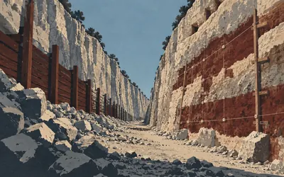
259 km (161 miles) · heritage
Sierra de Atapuerca
Three kilometres south, the oldest Europeans
The Camino goes through the village.
- The ministry calls Atapuerca the world's only evidence of Homo antecessor, at more than 780,000 years.
- Its Homo heidelbergensis remains are over 4,000 pieces, more than 80 per cent of the world total for the period.
- A fossil from the Sima del Elefante is dated at over 1,200,000 years.
279 km (173 miles) · heritage
Casa del Cordón
A knotted rope carved across a front
A late fifteenth-century town palace built for the Constable of Castile, Pedro Fernández de Velasco, and his wife Mencía de Mendoza, with a carved Franciscan girdle looped round the doorway that gives the house its name. The register will only say the architect must have been Simón de Colonia, and that hedge is the register's own.
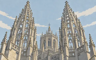
280 km (174 miles) · landmark
Catedral de Burgos
Openwork spires over a river town
The first stone went down on 20 July 1221, laid by Bishop Mauricio and King Fernando III, and then four centuries of masons kept going.
- The first stone was laid on 20 July 1221 by Bishop Mauricio and King Fernando III.
- The ministry calls it the only Spanish cathedral with the UNESCO distinction independently, inscribed 31 October 1984.
- The ministry records that the cathedral holds the tomb of El Cid and of his wife doña Jimena.
The meseta: Burgos to the Pisuerga
311–363 km · 8 places
311 km (193 miles) · heritage
Hontanas
A village you cannot see until you are in it
Hontanas sits in a fold so shallow you do not know it is there until the road tips and the bell tower comes up out of the wheat. The name is from fontanas, springs, which is why anyone settled here. In the square is a twelfth- or thirteenth-century defensive tower with arrow slits and a Romanesque window still in it.
316 km (196 miles) · heritage
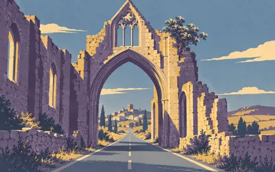
Convento de San Antón
The road goes under the arch
There is no way round this one.
- The Camino passes directly under the arch of the ruined church.
- The ministry says the ruin still keeps the walls of its Gothic church.
- It is not listed in Castilla y León's register of declared cultural assets.
319 km (198 miles) · landmark
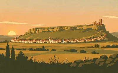
Castrojeriz
A town wrapped round a hill
One street, a kilometre and a half of it, curving all the way round the base of a flat-topped outlier with a castle ruin on the end of it.
- The register says the Camino shaped the town into one street, the calle de los Peregrinos.
- Nuño Núñez resettled it in 882 and it received a Castilian charter in 974.
- The street curves the whole way round the base of the castle hill.
339 km (210 miles) · heritage
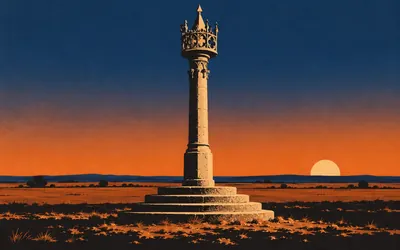
Boadilla del Camino
Justice, with a lace collar
In a very small village on very flat ground stands a column that ought to be somewhere much grander.
- The regional register dates it to the early sixteenth century and the national ministry to the fifteenth.
- It rises from five circular steps to a crown of pierced openwork cresting.
- A rollo marked a town's right to administer justice for itself.
344 km (214 miles) · engineering
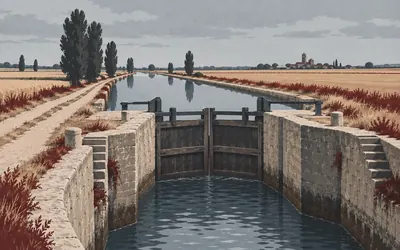
Canal de Castilla
A shipping canal in the middle of the wheat
Something goes wrong with your sense of place on the way into Frómista.
- Work began in 1753 and ended in 1849.
- The register gives its length as 207.5 km, in the shape of an inverted Y.
- It runs from Alar del Rey to Valladolid and Medina de Rioseco.
344 km (214 miles) · heritage
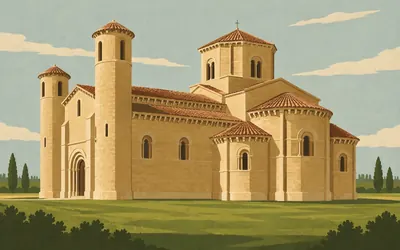
San Martín de Frómista
The textbook, standing in a field
If you have ever seen a diagram of a Romanesque church, this is the building it was drawn from: three apses stepping out at the east end, an octagonal lantern over the crossing, two round turrets at the west, and around the whole roofline about a carved corbel under the eaves every arm's length, monsters and acrobats and people behaving badly.
- Doña Mayor's will of 1066 already mentions the building as begun.
- The register calls it the prototype of eleventh-century Romanesque.
- It was declared a national monument in 1894 and restored by Manuel Aníbal Álvarez.
357 km (222 miles) · heritage
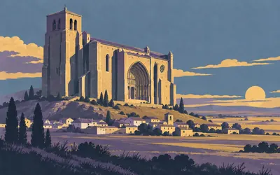
Villalcázar de Sirga
A king wrote songs about this church
An enormous fortified church for the village underneath it, standing on a mound above the plain with a carved south porch under a deep arch.
- The register records that the church's miracles appear in Alfonso X's Cantigas de Santa María.
- The place belonged first to the Templars and then to the Order of Santiago.
- The west end collapsed in 1888, destroying the gable, porch and choir.
363 km (226 miles) · heritage
Carrión de los Condes
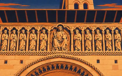
Twelve apostles in a row across a wall
The church behind was rebuilt from scratch in 1849.
- The register dates the surviving west front to about 1170-1180.
- The church behind it was entirely rebuilt in 1849.
- The frieze holds the twelve apostles around a Christ in Majesty with the four evangelist symbols.
Sahagún, the Páramo and León
403–516 km · 10 places
403 km (250 miles) · heritage
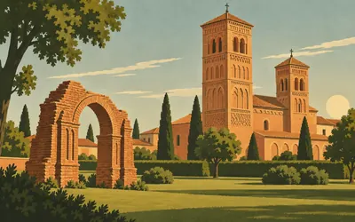
Sahagún
It had its own coinage and its own university
What is left is an arch, a clock tower and some standing brick in a public garden, which does very little to convey what this was.
- The register records that the abbey minted its own coinage and had a university.
- It was the motherhouse of the Benedictine order in Spain until the sixteenth century.
- Alfonso VI gave it to Cluny and appointed a French abbot, Bernardo.
403 km (251 miles) · heritage
La Peregrina
The Franciscans arrived in 1257
On the rise as you leave the town, the church of a Franciscan house founded in 1257, with the church itself begun three years later and added to for centuries afterwards. Brick again, and plasterwork inside in the Mudéjar manner. It is named for the pilgrim, which on this road is not decoration.
439 km (273 miles) · heritage
Mansilla de las Mulas
A square town with the road through the middle
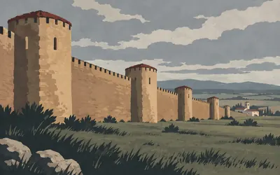
After a hundred and fifty kilometres of villages with nothing to defend, a walled town.
- Fernando II resettled the town in 1181 and the wall was built then.
- The register measures its projecting towers at 13 metres by 2.30 metres wide.
- The Camino crosses the square plan diagonally and leaves by the river bridge.
445 km (277 miles) · engineering
Puente Villarente
A long bridge and no protection order
A long many-arched bridge over the Porma, carrying the road and everybody on it. It is not a listed monument: a search of the regional register for this crossing and for the Esla returns nothing at all. Some of the most-used medieval infrastructure on the Camino has no paperwork whatever.
457 km (284 miles) · landmark
Catedral de León
More window than wall, and it nearly cost them it
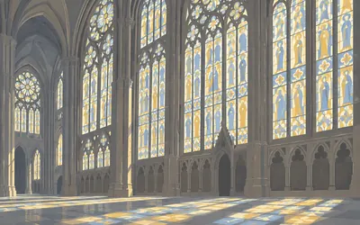
The masons of León took the French idea to its limit: cut the stone back until almost the entire wall is glass, then fill the glass with colour.
- Begun 1255, opened for worship 1302; its first architect was a maese Enrique, who died in 1277.
- Structural failures nearly brought it down; in 1844 it was named Spain's first national monument.
- No authority publishes an area or a count for its stained glass, so none is given here.
458 km (284 miles) · heritage
San Isidoro de León
A painted ceiling nobody whitewashed
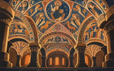
Go in at the side, down two steps, into a low room of squat columns and heavy arches, and look up.
- The ministry says the murals earned the place the nickname "Sistine Chapel of the Romanesque".
- Doña Urraca commissioned the paintings.
- The programme includes a full agricultural calendar alongside the religious scenes.
465 km (289 miles) · landmark
La Virgen del Camino
A modern shrine nobody will describe
A twentieth-century pilgrimage church with a row of huge bronze figures strung along its front, utterly unlike anything else on the route. Castilla y León only listed it in 2018 and publishes no description of it whatever, and the national ministry does not mention it, so no architect and no sculptor are named here.
492 km (306 miles) · engineering
Puente del Paso Honroso
A jousting ground with no scoreline
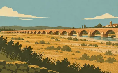
The bridge is absurdly long for the river under it: arch after arch striding out across a flood meadow that is dry most of the year, with the Órbigo itself using only a few of them.
- The ministry names it the bridge of the Paso Honroso, witness to Suero de Quiñones's joust.
- No authority publishes a year, a lance count or a number of challengers for it.
- The register lists it simply as PUENTE ANTIGUO, protected since 1939.
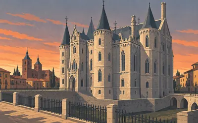
510 km (317 miles) · landmark
Palacio Episcopal de Astorga
Gaudí walked off this one
White granite, pointed windows, four corner turrets and a dry moat: a bishop's palace that looks like a fairy castle dropped into a Roman town.
- The first stone was laid on 24 June 1889, to a design the Madrid academy had already rejected once.
- The register says Gaudí abandoned the works in 1893 after the bishop died and difficulties arose with the townspeople.
- Ricardo García Guereta finished the building between 1906 and 1913.
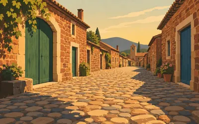
516 km (321 miles) · heritage
Castrillo de los Polvazares
One street of iron-red stone
A single wide street of enormous cobbles between houses of dark red ironstone, with green and blue doors big enough to take a cart through and nothing modern visible anywhere.
- The village is protected as a historic ensemble in its own right.
- The Junta's account notes that the Maragato country was worked for gold from before Roman times.
- No authority read explains the origin of the Maragatos themselves.
The Montes de León and El Bierzo
529–602 km · 7 places
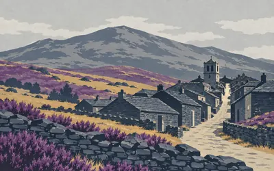
529 km (329 miles) · heritage
Rabanal del Camino
End of stage nine, in the twelfth century
A slate village on the shoulder of the mountains where the climb begins in earnest, and the twelfth-century guidebook already knew about it: the Codex Calixtinus, says the register, ends its ninth stage here.
- The Codex Calixtinus ends its ninth stage at Rabanal.
- The register dates the Templar enclave to the mid-twelfth century but its first reliable document to 1204.
- A blocked door is said, on one scholar's authority, to have led to the Templar convent.
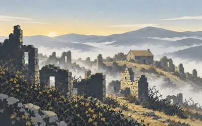
535 km (332 miles) · landmark
Foncebadón
The cross nobody official will measure
A village the Junta describes as practically depopulated, roofless walls and brambles on a bare shoulder of the Montes de León, founded by a hermit called Gaucelmo who put up a pilgrims' hospital here in the eleventh or twelfth century.
- The Junta calls Foncebadón practically depopulated and credits its founding to the hermit Gaucelmo.
- No authority publishes a position, an altitude or an account of the custom for the Cruz de Ferro.
- A friar's travel account of 1754 records crosses marking the bounds granted to the village hospice in 1103.
546 km (339 miles) · engineering
Herrería de Compludo
A water hammer that still works
In the valley below the ridge, a forge driven entirely by water: a wheel, a cam shaft, a great beam levering a drop hammer, and a copper nozzle of about five kilos blowing the furnace. The register is precise that the building itself is late nineteenth century and only the technique is medieval. It has been protected since 1968 and it still runs.
554 km (344 miles) · heritage
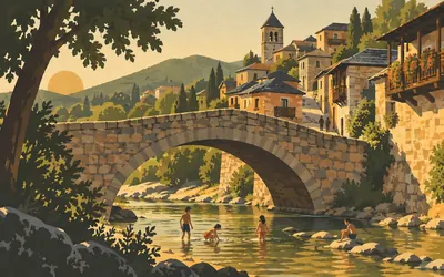
Molinaseca
The dry-mill town at the bottom of the descent
You come off the mountain on a long steep drop, down and down through chestnut woods, into a village of slate roofs and stone balconies along one street, entered over a humpbacked bridge with people swimming under it.
- The name comes from molinum and sicum, the dry mill, after the river's habit of running out.
- Mills are documented here from the twelfth century.
- Domenico Laffi described them in his pilgrim account of 1670.
561 km (349 miles) · landmark
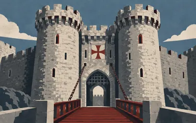
Castillo de los Templarios
The Templars really did hold this one
The Camino throws the Templars at you constantly and most of it will not survive contact with a register.
- The kings of León gave castle and town to the Templars in 1178, to protect pilgrims and watch the Bierzo.
- The Order built the present castle from 1218 and it was finished by 1282.
- They held it until the Order was suppressed in 1312.
584 km (363 miles) · heritage
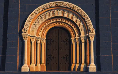
La Puerta del Perdón
For anyone who cannot go on
The north wall of a slate church at the top of the town holds a doorway of four receding arches, and what it is for is extraordinary.
- The sick and those unable to continue may obtain the jubilee at this door, per both the regional register and the ministry.
- The church was built in 1186 by don Fernando, bishop of Astorga, in slate ashlar.
- The ministry records that the door stayed closed until 1948.
602 km (374 miles) · landmark
Castillo de Sarracín
A ruin over the last valley
Ruined walls on a knoll above the Valcarce, watching the gorge the road has to use to get out of León. It has been protected since 1949 and the register attaches no description and no date to it. From here the valley narrows and then the climb to O Cebreiro begins, which is the one everybody dreads.
Galicia: O Cebreiro to Santiago
612–764 km · 10 places
612 km (380 miles) · heritage
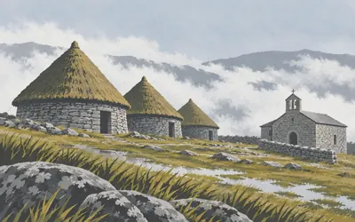
O Cebreiro
Round thatched houses in the cloud
At the top of a climb that takes most of a morning, on a bare summit in cloud, a handful of round dry-stone houses under steep thatch, listed by Galicia as an ethnographic group.
- Turismo de Galicia calls the church the oldest FULLY PRESERVED monument on the pilgrim route.
- It introduces the eucharistic miracle as a lenda, a legend, dated to around 1300.
- The pallozas beside it are listed by Galicia as an ethnographic ensemble in their own right.
621 km (386 miles) · viewpoint
Alto do Poio
The top, if you believe the Xunta
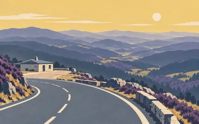
A short vicious pull out of Padornelo and then it is done: a bar, a car park and a view over the Rañadoiro and the Lóuzara valley.
- Turismo de Galicia calls it the highest point of the route, at 1,337 metres.
- No authority publishes any altitude for the Cruz de Ferro, which is usually given the title instead.
- The IGN's national gazetteer and Turismo de Galicia place the pass within about five metres of each other.
641 km (398 miles) · heritage
Mosteiro de San Xulián de Samos
The other road out of Triacastela
Out of Triacastela the Camino splits and this line goes right, by San Xil. The Benedictine abbey is down the other branch, in a deep valley on the río Sarria, first documented in a donation by Ordoño II in 922. Spain's own ficha for it says the monastery is what draws pilgrims onto that alternative, and calls its Claustro Grande the largest in the country.
651 km (405 miles) · landmark
Sarria
Where the road suddenly gets busy
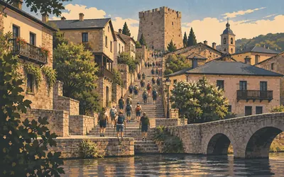
You have had the Camino more or less to yourself for six hundred kilometres.
- The pilgrim office requires 100 continuous kilometres on foot or horseback, or 200 by bicycle.
- The final stage must be at least the one immediately before reaching the cathedral.
- The Compostela is issued in Latin and certifies the pilgrimage was made in a Christian sense.
655 km (407 miles) · heritage
Santiago de Barbadelo
A double monastery, and a figure over the door
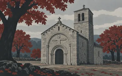
A squat granite church with a heavy square tower, standing on its own among chestnuts four kilometres out of Sarria.
- A double monastery stood here between the tenth and eleventh centuries.
- It depended on Samos until 1835.
- Galicia says the figurative carving on the tympanum and lintel is what makes it singular; declared a national monument in 1976.
673 km (418 miles) · engineering
Portomarín
They numbered every stone and moved the church uphill
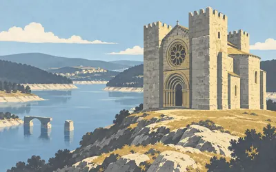
The old town is under the water.
- The numbers written on the stones during the dismantling are still visible on the rebuilt church.
- The new town was laid out around a square by the architect Pons Sorolla.
- The ministry credits the church's fortress character to the Order of Saint John, not to the Order of Santiago.
692 km (430 miles) · heritage
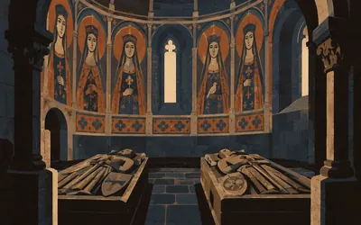
Vilar de Donas
Where the knights of Santiago were buried
Two kilometres off the road, down a lane, a small Romanesque church from the first quarter of the thirteenth century that belonged to a monastery of the Order of Santiago.
- Turismo de Galicia calls its Gothic baldachin the only free-standing one in any Galician church.
- The ministry says the Order of Santiago used it as a burial place and as the base for its pilgrim work.
- The two authorities date the apse murals differently: a late-14th to early-15th-century span, or flatly 1434.
712 km (442 miles) · heritage
Melide
One iron screen, and nothing like it anywhere else
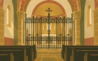
Melide is where roads meet, and its museum is a sixteenth-century pilgrims' hospital, and the parish church was a Franciscan convent built in the fourteenth century.
- The ministry says Santa María de Melide holds the only Romanesque iron screen surviving in Galicia.
- The town's museum occupies a sixteenth-century pilgrims' hospital.
- The Concello hedges its own claim for the cruceiro: for many, the oldest in Galicia.
761 km (473 miles) · heritage
Capela de San Lázaro
The saint they put outside the walls
A chapel on the eastern approach, keeping the name that medieval cities gave to whatever they built for lepers, which was always outside the gates and always on the road in. No authority reached publishes anything about this building, so its age is not claimed here. Three kilometres to the cathedral.
764 km (475 miles) · heritage
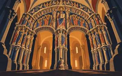
O Pórtico da Gloria
Seven hundred and sixty kilometres, and it was painted
Everyone arrives looking at the front of the cathedral.
- The porch began as engineering: a crypt, portico and towers built as one western buttress against the falling ground.
- Fernando II was paying Mateo a life pension by 1168; the cathedral ran from 1075 to 1211.
- The 2008-2018 restoration found up to three complete layers of original polychromy under the dirt.
Take on Camino Francés and collect these places as you reach them
Common questions
How do my steps and walks count towards Santiago?
Nothing is entered by hand. Route Rally picks up each walk, run or ride from Strava or Apple Health and carries your marker west along the Camino Francés. Everyday steps count as readily as a planned walk, which matters on a pilgrim route: a habit of 30 km a week reaches Santiago in about six months without a single training session.
Do I have to travel to Spain to walk the Camino?
No, and that is rather the point of a virtual Camino. The 764 km between Saint-Jean-Pied-de-Port and Santiago is a distance to cover, so the school run, the dog walk and a Sunday hike on your local hills all move you along it. Pilgrims have always set out from where they lived; this keeps that idea and drops the flight.
How long is the virtual Camino de Santiago?
The Route Rally route covers about 764 km, or roughly 475 miles, following the Camino Francés from Saint-Jean-Pied-de-Port to Santiago de Compostela. Other Camino routes vary in length, but the Francés is the classic full-length walk.
Can I do the Camino with steps and walking alone?
Yes, and that is exactly who it suits best. The Camino is a walking pilgrimage, so a steady daily-steps and walking habit is the natural way to take it on. At 30 km a week you reach Santiago in about six months.
How long does it take to walk the virtual Camino?
It depends on your weekly distance. At 30 km a week it takes around six months, while a more committed 50 km a week brings Santiago inside four months. Whatever you pick as the end date at setup is the deadline you are working to.
Is the Camino a good group or charity challenge?
Very much so. The pilgrimage framing makes it a popular shared goal for walking groups, workplaces and charity teams. Set up a rally and everyone's synced walks and steps move along the same road towards Santiago.
Start your Camino Francés Conquest
Joining is free. Connect Strava or Apple Health once and every ride, run or walk you record syncs automatically, moving you along the route without anything else to log.